NSTATE
The Geography of Texas
Here you will find a variety of facts about the geography of the state of Texas. Find out the geographic center, total area, climate and much more.
NSTATE
Net State: The Geography of North Carolina
Here at NetState you will find a variety of facts about the geography of the state of North Carolina. Find out the geographic center, total area, elevations and much more.
NSTATE
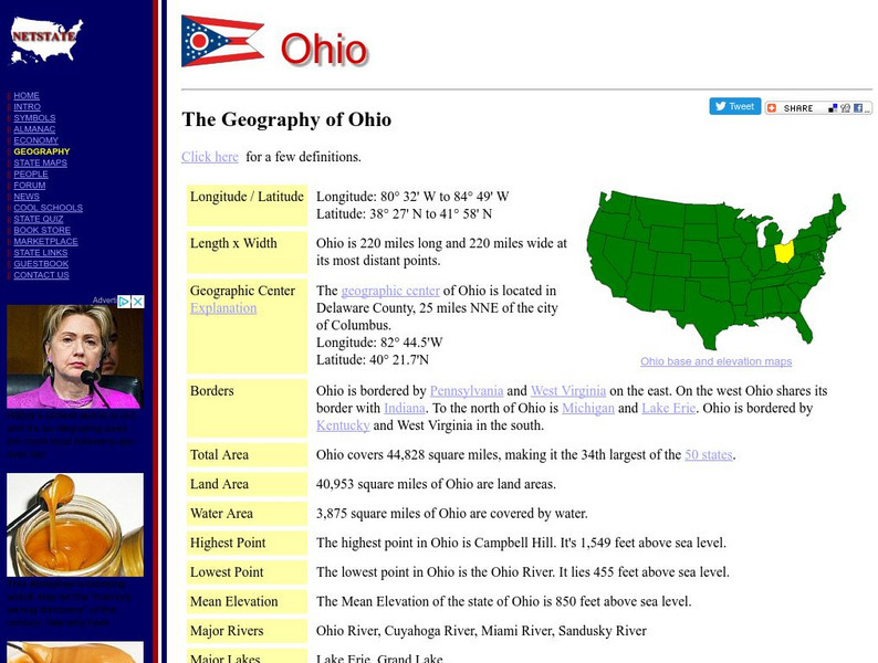
Net State: The Geography of Ohio
Here at NetState you will find a variety of facts about the geography of the state of Ohio. Find out the geographic center, total area, elevations and much more.
NSTATE
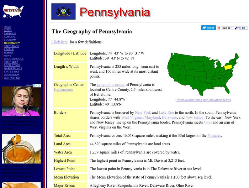
The Geography of Pennsylvania
Here you will find a variety of cool facts about the geography of the state of Pennsylvania. Find out the geographic center, total area, elevations and much more.
NSTATE
The Geography of Florida
Here you will find a variety of cool facts about the geography of the state of Florida. Find out the geographic center, total area, elevations and much more.
NSTATE
The Geography of Alabama
Get the facts about the geography of the state of Alabama from its geographic center to its total area, to elevations and much more.
NSTATE
Net State: The Geography of Kansas
Here at NetState you will find a variety of cool facts about the geography of the state of Kansas. Find out the geographic center, total area, elevations and much more.
Ducksters
Ducksters: United States Geography: Rivers
Kids learn about the major rivers of the United States including the Mississippi, Missouri, Rio Grande, Colorado, and the Hudson. Geography of the US.
NSTATE
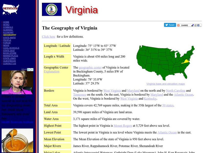
Netstate.com: The Geography of Virginia
Find a variety of facts about the geography of Virginia: geographic center, total area, elevations, and much more.
National Geographic
National Geographic: Mapping the World's Watersheds
In this lesson, students use a world map to locate and label major rivers and their watersheds. They then compare watershed shapes and look at typographical features that determine their shapes. A vocabulary list with definitions is...
Ohio Department of Natural Resources
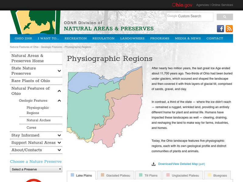
Ohio's Five Physiographic Regions
Gives characteristics and history of Ohio's different regions. Map included. Very detailed descriptions of rivers and nature perserves in the State.
Johns Hopkins University
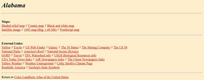
Johns Hopkins University: Alabama State Maps
Check out this site from the Johns Hopkins University Applied Physics Laboratory for several different types of maps for the state of Alabama. You can find everything from a county map to a shaded relief map. If you are looking for map...
Other
Arkansas Department of Parks and Tourism: Arkansas Virtual Regional Map
Take a virtual tour of Arkansas by clicking on each of its major regions .. the Ozarks, River Valley, Central, Delta, Timberlands, and the Ouachitas region. Terrific photos, video clips, maps, and descriptive information is included for...
Curated OER
Wikipedia: Mississippi River
From Wikipedia, which is an online free encyclopedia, find a very comprehensive entry that includes the history, geography, navigation, major cities along the river and notable bridges.
Curated OER
Wikipedia: Mississippi River
From Wikipedia, which is an online free encyclopedia, find a very comprehensive entry that includes the history, geography, navigation, major cities along the river and notable bridges.
Curated OER
Wikipedia: Mississippi River
From Wikipedia, which is an online free encyclopedia, find a very comprehensive entry that includes the history, geography, navigation, major cities along the river and notable bridges.
Encyclopedia of Earth
Encyclopedia of Earth: Rio Grande
Read here about the infamous Rio Grande Rivers. This article includes information regarding its history and various facts and figures about it including its agriculture, major cities, dams and other issues.
INTERNET Red 2000
All About Spain: Spain a Z
A wonderful alphabetized listing from All About Spain of towns, cities, monuments, facts, and major attractions in the "All About Spain" website. Find your location and click on the link. This site is available in Spanish, English, and...
Geographic
Map of Canada
Basic map of Canada. Includes major cities, coastlines, major lakes and rivers, and bays.


