Hi, what do you want to do?
Curated OER
US Policy In Somalia
High schoolers investigate the US policy for the country of Somalia. They conduct research using a variety of resources. They locate the country and then discuss major geographical features of the areas. Students discuss the present US...
Curated OER
What Does Bird Flu Mean to Students?
Students consider the far-reaching effects of the avian flu. In this personal health lesson, students visit selected websites to discover information about the flu, viral infections, and intensive farming. Students...
Curated OER
Ancient Greece
Sixth graders examine the research that archaeologists have done on a Late Bronze Age shipwreck in order to work out the extent of trade in the Eastern Mediterranean during this period, with emphasis on the involvement of the Mycenaeans...
Curated OER
Fabulous Funnels
Learners explore what tornados are, how they are created and measured, and what their effects are on communities. They keep a journal of their activities and explorations as part of an ongoing process of learning.
Curated OER
Biomimicry, Nature: Architecture of the Future
Students explore the relationship between nature and architecture. In this cross curriculum history, culture, and architecture lesson, students observe and discuss structures visible in nature. Students view websites in which Native...
Curated OER
Ire Land
Students imagine themselves as 'witnesses' to historical events in different time periods in the Irish conflict. They write 'day in the life' accounts of their 'place' in Irish history.
Enchanted Learning
Enchanted Learning: Map Reading Activity #1
At this site from Enchanted Learning, students can use this printable worksheet and then follow the directions given and practice their map reading skills.
Soft Schools
Soft Schools: Geography/map Skills Quiz
In this ten question quiz, students can assess their understanding of key geographical features on maps.
C3 Teachers
C3 Teachers: Inquiries: Maps and Geography
A comprehensive learning module on maps that includes three supporting questions accompanied by formative tasks and source materials, followed by a summative performance task. Students learn about map symbols, cardinal directions, and...
Read Works
Read Works: This Is North America
[Free Registration/Login Required] Intended to support early elementary students' reading comprehension, geographical information about North American is provided in this informational text. Questions that assess multiple reading skills...
PBS
Pbs Wisconsin Education: Into the Map
In this learning module, students will explore the world of geography by creating and analyzing maps.
Other
Edte.ch: Maths Maps
Maths Maps is a collaborative project where participants use Google maps to choose a location within one of the cities highlighted, then create a Math problem about the site. The problems are marked on the map with various colors...
Utah Education Network
Uen: Lesson Plan: Map Trap
Lesson to reinforce maps skills and concepts. Students map locations around their school and use world maps to locate major landmarks.
A&E Television
History.com: The States
Learn unique facts about each American state. You can also read a more in-depth history of each state, watch videos and play a game about all the states.
SMART Technologies
Smart: Geography Unit: Maps
This geography unit is designed to follow the 1st Grade geography skills required in Virginia. Students are expected to use cardinal directions, read map keys and understand map symbols, as well as identify our city and capital.
BBC
Bbc: Bitesize Geography: Os Map Skills
A short tutorial on mapping tools and how to read maps. Covers features of maps, symbols, the compass, scale, distance, how height is represented, and grid references. Includes multiple-choice quiz at the end.
Read Works
Read Works: The Treasure Hunt
[Free Registration/Login Required] A literary text about some kids who surprise their friend Jordan with a treasure hunt for her birthday. A question sheet is available to help students build skills in reading comprehension.
Read Works
Read Works: Learn About Maps
[Free Registration/Login Required] Intended to support early elementary students' reading comprehension, the basic terminology associated with map are explained in this informational text. A question sheet is available to help students...
University of Illinois
University of Illinois: Illinois State Geological Survey
A "research and service" organization, the ISGS's "programs encompass geologic mapping, water and mineral resources, environmental and engineering geology, geochemistry, and education." Read articles, view maps, study old aerial...
Other
Ordnance Survey: Map Zone
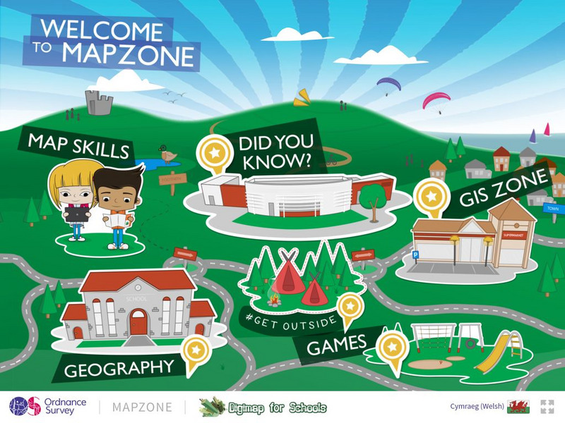
All kinds of fun and interesting ways to learn about maps and acquire mapping skills.
PBS
Pbs: The Roman Empire of the 1st Century: Mapping an Empire
In this lesson plan, students will compare a map of the Roman Empire in 44 BC with one of the Roman Empire in 116 AD. Using these two maps as a reference, students will use critical reading skills to learn about the expansion of the...
George Mason University
Chnm: Differences Among Colonial Regions
Learners will explore the differences among the three colonial regions of New England, Mid-Atlantic/Middle, and the Southern colonies. In small groups for each region, students will observe and note details of pictures, maps, and...
Biblioteca Virtual Miguel de Cervantes
Biblioteca Virtual Miguel De Cervantes: Paraguay
This resource site in Spanish for the country of Paraguay. The flag and a general map of the country are included. Of particular interest is the statistical data available on land size, climate, population, life expectancy, infant...
Biblioteca Virtual Miguel de Cervantes
Biblioteca Virtual Miguel De Cervantes: El Salvador
This resource site in Spanish for the country of El Salvador. The flag and a general map of the country are included. Of particular interest is the statistical data available on land size, climate, population, life expectancy, infant...


