Hi, what do you want to do?
University of Texas at Austin
Perry Castaneda Library Map Collection: Historical Maps of Europe
This collection from the University of Texas Library Online of historical maps contains a wide variety of maps from various parts of Europe and from different parts of history. Each map is accompanied by a brief description and is clear...
Central Intelligence Agency
Cia: World Factbook: Regional and World Maps
Maps of major areas of the world can be downloaded here. The maps have excellent detail and are in color.
Cool Math
Coolmath: Coolmath Games: Map Snap: Europe
You are presented with an outline map of Europe and you must place each country in its correct position. It clicks into place if you're in the right spot. You may want to start with the practice mode which has the shape outlines of the...
That Quiz
That Quiz: Practice Test: Europe
This resource provides a practice test which allows users to test their geographical knowledge of Europe.
Ancestry
Europe After the Congress of Vienna, 1815
Map of Europe after the Congress of Vienna of 1815, showing the gains of Prussia, Russia, Sardinia, and Austria, as well as the boundaries of the German Confederation.
Lizard Point Quizzes
Lizard Point: Europe: Countries Quiz
Try this interactive geography quiz which tests your knowledge about the countries of Europe.
Lizard Point Quizzes
Lizard Point: Europe: Capitals Quiz
Test your geography knowledge by taking this interactive quiz over the capital cities of Europe.
Other
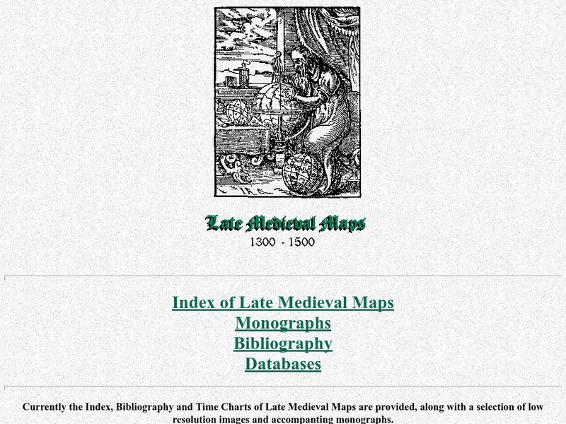
Cartographic Images: Late Medieval Maps 1300 1500
Find some incredible maps of early cartographers. What did they know of the world then? Did they know it was round? Take a look at this site.
Digital Dialects
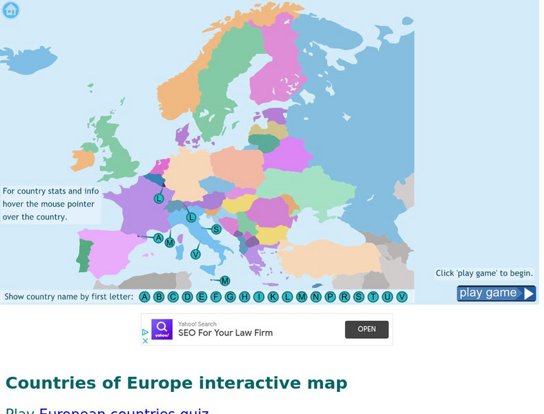
Digital Dialects: Geography Games: Countries of Europe
Study a map showing the countries in Europe, and then try to match their names to their locations on a blank map.
Curated OER
Etc: Maps Etc: Physical and Cultural Geography of Europe, 1915
Six maps of Europe showing the average rainfall, the major climate zones, agricultural products (rye, corn, wheat, rice, and sugar beets), industrial products (iron, textile, and coal), ethnic groups, and religions.
National Geographic Kids
National Geographic Kids: Europe: Spain
Welcome to Spain! Follow this interactive overview of the country's history, geography, people, government, nature, and more. A map and video are included.
National Geographic Kids
National Geographic Kids: Europe: United Kingdom
Welcome to the United Kingdom! Follow this interactive overview of the country's history, geography, people, government, nature, and more. A map and video are included.
Ancestry
Europe 1820
Although there is no key, the map shows provinces, country boundaries, and the German Confederation boundary of 1820.
University of Texas at Austin
The Perry Castaneda Library Map Collection
This collection contains more than 250,000 maps covering all areas of the world, and ranging from political and shaded relief maps to the detailed and the historical. Select from a region of the world or an area of highlighted interest.
Lizard Point Quizzes
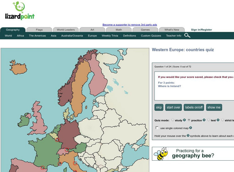
Lizard Point: Western Europe: Countries Quiz
Test your geography knowledge by taking this interactive quiz over the countries of Western Europe.
Nations Online Project
Nations Online: Luxembourg
A great reference source for getting a country profile of the little European nation of Luxembourg. Offers background details, and numerous links to key information on the nation's culture, history, geography, economy, environment,...
University of Florida
Baldwin Library: The Eclectic Elementary Geography by American Book Company
This is an online photocopy of the original text of the children's book The Eclectic Elementary Geography by American Book Company (1883), an elementary geography textbook including maps, information about areas and people of the United...
Other
Atlas of World History
This interactive historical map focuses on the history of Europe, Africa, Asia to the year 1000 CE. Click on a region to learn historical facts about each location. Requires JavaScript. Offers map translation into Greek, Turkish, Serbian...
That Quiz
Geografia Europa: That Quiz: Europe
Interactive practice to learn the countries of Europe. It keeps track of right and wrong answers and the time in which it takes to identify the maps.
SMART Technologies
Smart: World Map
This lesson features a world map with labeled countries, a global map, and an interactive map of the seven continents.
Other
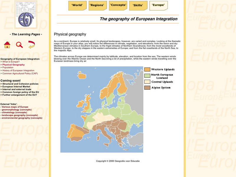
The Learning Pages: Geography of European Integration
This page has a map showing the 4 different types of land located in Europe. Information is provided on Europe as well as links to more maps and information.
ClassFlow
Class Flow: European Capitals Quiz
[Free Registration/Login Required] Using the Activote system, students will look at a map of Europe to identify the country and then select that country's capital city. There are 28 questions.
Antonio Salinas and Maria Jesus Egea
Vedoque: Geografia De Europa
This game is about the various countries of Europe. It has a set of questions about their locations on the map, their capitals and their flags.
National Geographic Kids
National Geographic Kids: Greece
Click-through facts-and-photo file about Greece's geography, nature, history, people and culture, and government. Includes a map of the country that pinpoints its European location and a video about the Parthenon, an ancient temple built...


