Other
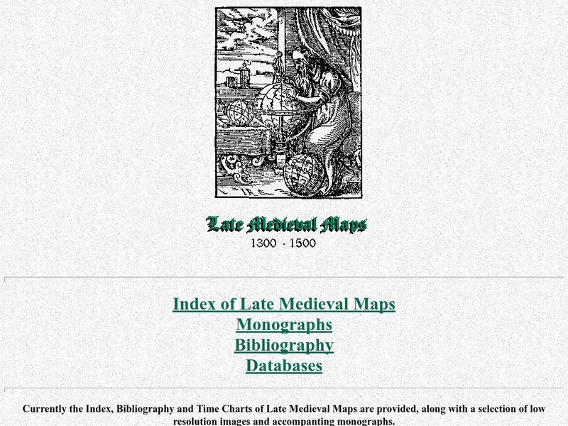
Cartographic Images: Late Medieval Maps 1300 1500
Find some incredible maps of early cartographers. What did they know of the world then? Did they know it was round? Take a look at this site.
Ducksters
Ducksters: Geography for Kids: European Countries
Learn about Europe and the countries of Europe. Facts such as geography, flags, maps, exports, natural resources, and languages are on this website.
Ancestry
Europe 1820
Although there is no key, the map shows provinces, country boundaries, and the German Confederation boundary of 1820.
World Atlas
World Atlas: Europe
A comprehensive guide to Europe including a variety of maps, statistics, facts, and information on history, geography, flags, symbols, travel, and much more.
Ducksters
Ducksters: Geography Games: Capital Cities of Europe
Play this fun geography map game to learn about the capital cites of the countries of Europe.
Other
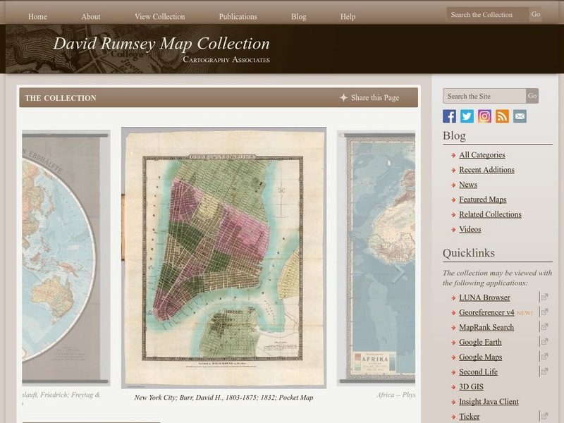
The David Rumsey Historical Map Collection
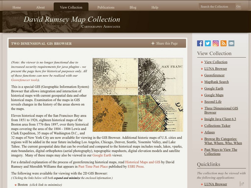
"The David Rumsey Historical Map Collection focuses on rare 18th and 19th century North and South America cartographic history materials. Historic maps of the World, Europe, Asia, and Africa are also represented. The collection...
Other
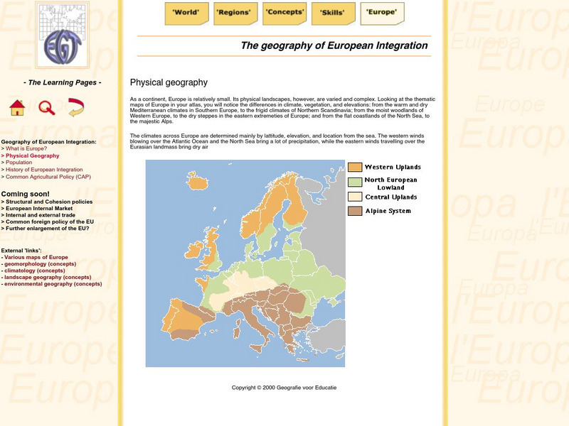
The Learning Pages: Geography of European Integration
This page has a map showing the 4 different types of land located in Europe. Information is provided on Europe as well as links to more maps and information.
Other
Seterra: Europe: Countries Map Quiz Game
Test your geographical knowledge of Europe and see if you can place all the countries of Europe in their correct spot!
Nations Online Project
Nations Online: Luxembourg
A great reference source for getting a country profile of the little European nation of Luxembourg. Offers background details, and numerous links to key information on the nation's culture, history, geography, economy, environment,...
Other
Harper College: Map Quiz Tutorial
A great way to learn about and then test yourself on Europe's geography. Includes three map tutorials. Good tool for visual learners!
Digital Dialects
Digital Dialects: Geography Games: Countries of Europe
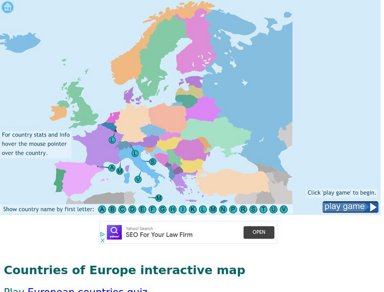
Study a map showing the countries in Europe, and then try to match their names to their locations on a blank map.
Ducksters
Ducksters: Geography Games: Flags of Europe
Play this fun geography map game to learn about the flags of the countries of Europe.
Other
David Rumsey Historical Map Collection
The collection of more than 150,000 maps focuses on rare 18th and 19th-century maps of North and South America, although it also has maps of the World, Asia, Africa, Europe, and Oceania. The collection includes atlases, wall maps,...
University of Florida
Baldwin Library: The Eclectic Elementary Geography by American Book Company
This is an online photocopy of the original text of the children's book The Eclectic Elementary Geography by American Book Company (1883), an elementary geography textbook including maps, information about areas and people of the United...
Other
Ordnance Survey: Map Zone
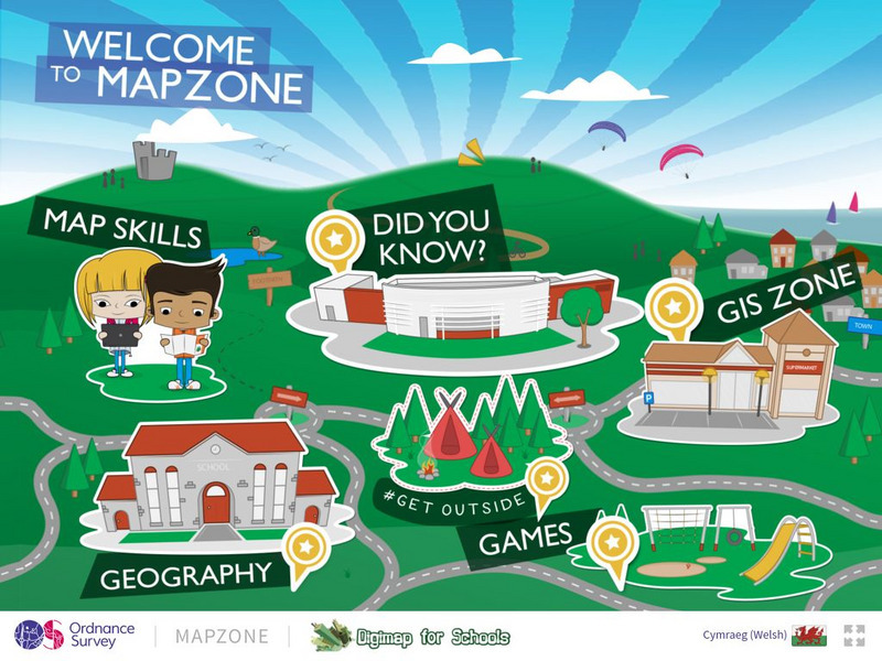
All kinds of fun and interesting ways to learn about maps and acquire mapping skills.
National Geographic
National Geographic: Observing Physical and Cultural Landscapes
In this lesson, students examine photographs of Europe as they learn to distinguish between physical and cultural characteristics of a landscape, and make observations and inferences about the places and people in the photographs. They...
That Quiz
Geografia Europa: That Quiz: Europe
Interactive practice to learn the countries of Europe. It keeps track of right and wrong answers and the time in which it takes to identify the maps.
SMART Technologies
Smart: World Map
This lesson features a world map with labeled countries, a global map, and an interactive map of the seven continents.
National Geographic Kids
National Geographic Kids: Portugal
Follow this interactive overview of the country's history, geography, people, government, nature, and more. A map and video are included. Adobe Flash Required.
Lizard Point Quizzes
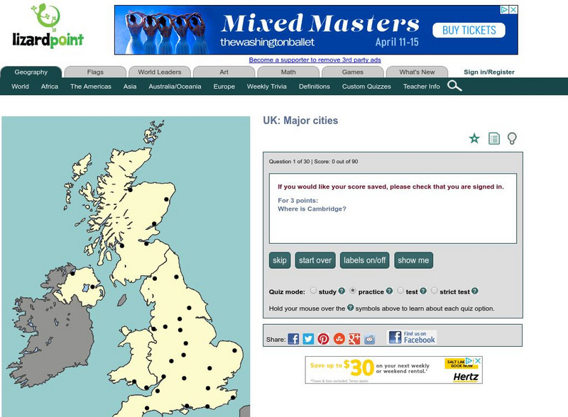
Lizard Point: United Kingdom: Major Cities Quiz
Test your geography knowledge by taking this interactive quiz over the major cities in the United Kingdom.
ClassFlow
Class Flow: European Capitals Quiz
[Free Registration/Login Required] Using the Activote system, students will look at a map of Europe to identify the country and then select that country's capital city. There are 28 questions.
Nations Online Project
Nations Online: Austria
Features a country profile of Austria, background details, and numerous links to comprehensive information on the country's culture, history, geography, economy, environment, population, news, government, maps, and much more tourism...
Antonio Salinas and Maria Jesus Egea
Vedoque: Geografia De Europa
This game is about the various countries of Europe. It has a set of questions about their locations on the map, their capitals and their flags.
Other
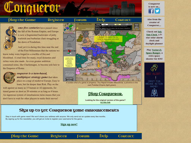
Conqueror
Conqueror is a multiplayer strategy game that takes place on a map of medieval Europe at the end of the first millennium. A player takes control of a certain nation based on the European map and plays against either Al or other players...
