Hi, what do you want to do?
Information Technology Associates
Ireland Geography: 2003
Information about the geography of Ireland from the CIA World Factbook (2003).
Other
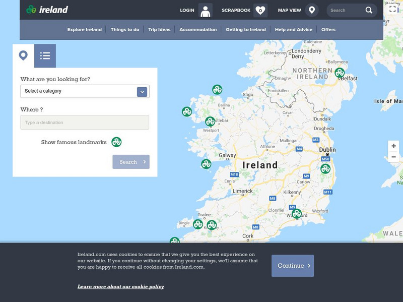
Ireland: Explore by Map
An interactive map of Ireland, with the ability to zoom-in or zoom-out, plus detailed maps of regions and cities. A link to the current weather in Ireland is also available.
Lizard Point Quizzes
Lizard Point: Ireland: Counties Quiz
Try this interactive geography quiz which tests your knowledge about the counties of Ireland.
Information Technology Associates
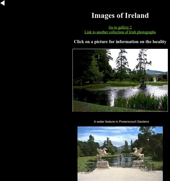
Ireland Photos: Countryside in Ireland
A photo of the Irish countryside.
Information Technology Associates
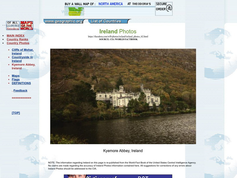
Ireland Photos: Kyemore Abbey
A photo of the castle at Kyemore Abbey in Ireland.
Information Technology Associates
Ireland Photos: Cliffs of Mohar, Ireland
A picture of the Cliffs of Mohar in Ireland.
National Geographic Kids
National Geographic Kids: Ireland
Welcome to Ireland! Follow this interactive overview of the country's history, geography, people, government, nature, and more. A map and video are included.
Encyclopedia Britannica
Encyclopedia Britannica: Britannica Kids: Ireland: Land and Climate
A description of Ireland's climate.
Curated OER
Information About Ireland: An Outline Geography of Ireland
A general description of Ireland, including the physical landscape, rivers, climate, vegetation, urban settlement, manufacturing, agriculture, and others.
Enchanted Learning
Enchanted Learning: Zoom School: Uk of Great Britain and Northern Ireland
Use this site to explore the United Kingdom. Learn about the UK's flag, geography, map, explorers, animals, scientists, explorers and more.
Nations Online Project
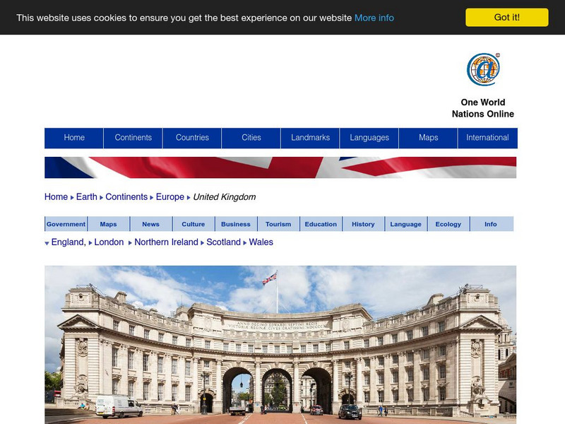
Nations Online: United Kingdom
A great country profile that takes you on a virtual trip to the United Kingdom. An overview is given on its art, culture, people, environment, geography, history, economy, and government. There are numerous links available that will...
Curated OER
Geology.com: Ireland Map Ireland Satellite Image
Check out this great satellite image of Italy from Google Earth. Scroll past the informative political map to see the image. There is more information about the country below the satellite map.


