Teach Engineering
Where Are the Plastics Near Me? (Mapping the Data)
The last activity in a nine-part series has teams create a Google Earth map using the data they collected during a field trip. Using the map, groups analyze the results and make adjustments to the map to reflect their analysis. A short...
NSTATE
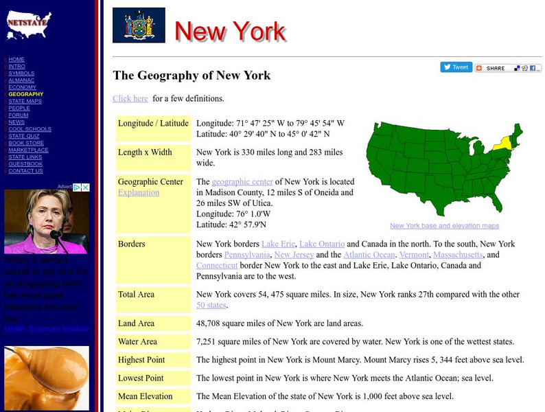
Net State: The Geography of New York
Learn about the geography of New York. Includes latitude and longitude information, as well as information about the highest and lowest areas of land.
Johns Hopkins University
The Johns Hopkins University: New York State Maps
This site on maps is provided for by The Johns Hopkins University Applied Physics Laboratory. Have you ever wondered what New York state looks like from a satellite image? Find out by using this website. There are several other maps to...
Cayuse Canyon
The Us50: New York
Features excellent information regarding New York history, famous people, cities, geography, state parks, tourism, and historic sites. A fact sheet of information and a quiz are also available.
50 States
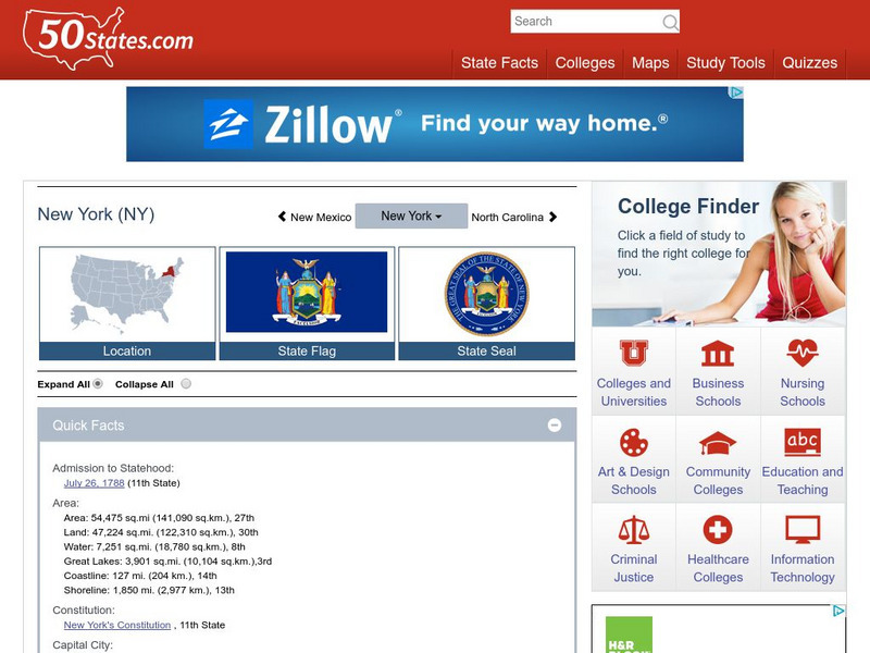
50 States: New York (Ny)
Find here a collection of links to information about the state of New York. Categories include facts, government, geography, education, people, attractions, history, industry, and miscellaneous.
Cayuse Canyon
The Us50
This clickable map of the United States gives students access to research information from history and tourism to attractions and famous historic figures.


