Hi, what do you want to do?
Other
Esc 20: How Does Changing the Land Change Your Life? [Pdf]
In this lesson unit, students learn about the impact of changing the environment on people's lives, in both the past and in present-day Texas. They then complete a project and present it.
Curated OER
National Park Service: Padre Island National Seashore
Padre Island National Seashore is rich in history and biodiversity. Peruse this resource for an in depth look at this beautiful part of southern Texas.
Curated OER
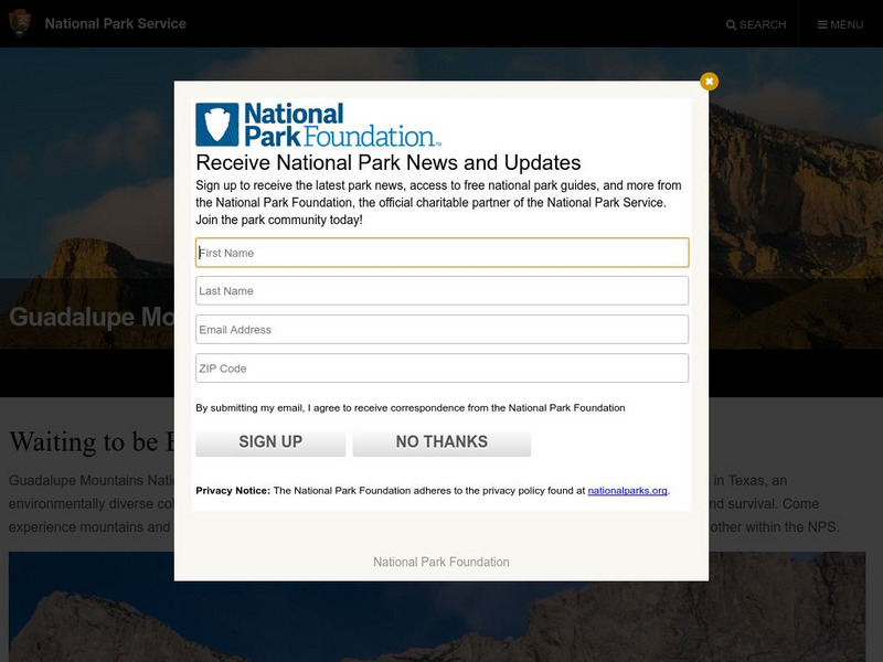
National Park Service: Guadalupe Mountains
For over 10,000 years folks have been drawn to the Guadalupe Mountains in western Texas originally for its beauty, resources, and in more recent years its history. One of the most fascinating features to this national park is that in the...
Curated OER
National Park Service: Guadalupe Mountains
For over 10,000 years folks have been drawn to the Guadalupe Mountains in western Texas originally for its beauty, resources, and in more recent years its history. One of the most fascinating features to this national park is that in the...
Texas State Historical Association
Texas State Historical Association: Water Resources [Pdf]
An activity guide where pupils refer to the Texas Almanac, which is free to download, for information needed to complete assigned tasks. In this lesson, they learn the difference between primary and secondary streams, then research and...
Texas Instruments
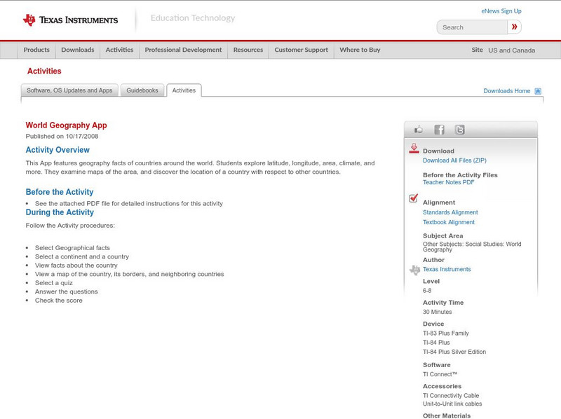
Texas Instruments: World Geography App
This classroom activity features geography facts of countries around the world. Students explore latitude, longitude, area, climate, and more. They examine maps of the area, and discover the location of a country with respect to other...
Texas Education Agency
Texas Gateway: Democracy Project: Honk if You Agree
In this extensive instructional activity, young scholars will learn to identify issues of importance, form their opinions, and support those opinions with evidence and reason. They will also learn how to state their feelings in a...
ClassFlow
Class Flow: Texas Regions
[Free Registration/Login Required] Students will identify 7 major Texas regions. The flipchart has links to the Texas Parks and Wildlife website with characteristics of each region. There are 20 Activote assessment questions at the end...
Other
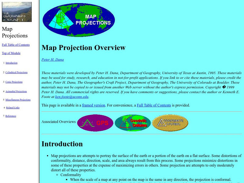
University of Connecticut: The Geographer's Craft: Map Projection Overview
An advanced overview of map projections with illustrative graphics. Created by Peter H. Dana, Department of Geography, University of Texas at Austin in 1995.
University of Texas at Austin
Perry Castaneda Library Map Collection: u.s. Maps
At this site find any type of map on the U.S. and any of its states here. Great site for teachers to print out maps to use in the classroom.
Other
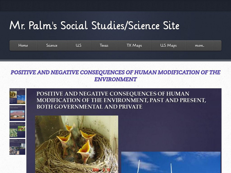
Mr. Palm:positive/negative Consequences of Human Modification of the Environment
A short slideshow explaining several ways that changes to the environment can have both positive and negative consequences.
Texas Instruments
Texas Instruments: Navigating the Usa With the Coordinate Plane
The students will be plotting points on the United States Map. This background and activity could be used and/or modified to fit any social studies class. Students could explore topics ranging from graphing coordinates in pre-algebra to...
Texas Education Agency
Texas Gateway: Ch. 18: Diversity of Countries and Economies Across the World
By the end of this section, you will be able to do the following: Analyze GDP per capita as a measure of the diversity of international standards of living; Identify what classifies a country as low-income, middle-income, or high-income;...
Curated OER
National Park Service: Big Bend
Deemed more than just a desert, Big Bend is indeed that! Find excellent narrative on the history and culture of this incredible park as well as notes on nature and science. Be sure to click on Visitor Photo Gallery for stunning views.
Curated OER
National Park Service: Alibates Flint Quarries National Monument
Alibates Flint Quarries, the only national monument located in Texas, is home to roughly 700 flint quarries. Peruse this resource and uncover its rich history, the culture, the significance of the Alibates flint and more.
Curated OER
National Park Service: Alibates Flint Quarries National Monument
Alibates Flint Quarries, the only national monument located in Texas, is home to roughly 700 flint quarries. Peruse this resource and uncover its rich history, the culture, the significance of the Alibates flint and more.
University of Texas at Austin
Perry Castaneda Library Map Collection: Tennessee Maps
A listing of online historical and current maps for the State of Tennessee. Part of the Perry-Castaneda Library Map Collection.
University of Texas at Austin
The Perry Castaneda Library Map Collection
This collection contains more than 250,000 maps covering all areas of the world, and ranging from political and shaded relief maps to the detailed and the historical. Select from a region of the world or an area of highlighted interest.
University of Texas at Austin
Perry Castaneda Library Map Collection: Mexico Maps
This site provides a wealth of maps relating to the country of Mexico.
Encyclopedia of Earth
Encyclopedia of Earth: Rio Grande
Read here about the infamous Rio Grande Rivers. This article includes information regarding its history and various facts and figures about it including its agriculture, major cities, dams and other issues.
A&E Television
History.com: The States
Learn unique facts about each American state. You can also read a more in-depth history of each state, watch videos and play a game about all the states.
Other
Mr. Palm: Ways People Have Adapted to and Modified Their Environment in Texas
Ways that Texans have altered the environment in order to improve their living conditions are presented, for example, through forest clearing, irrigation, and dams.
Curated OER
National Park Service: Big Thicket National Preserve
Not too far northeast from Houston lies over one hundred thousand acres that make up Big Thicket National Preserve. The National Park Services boasts an incredible example of biodiversity within this Preserve.
Curated OER
National Park Service: Big Thicket National Preserve
Not too far northeast from Houston lies over one hundred thousand acres that make up Big Thicket National Preserve. The National Park Services boasts an incredible example of biodiversity within this Preserve.


![Esc 20: How Does Changing the Land Change Your Life? [Pdf] Lesson Plan Esc 20: How Does Changing the Land Change Your Life? [Pdf] Lesson Plan](https://static.lp.lexp.cloud/images/attachment_defaults/resource/large/FPO-knovation.png)


