Other
Seterra: South America: Countries Map Quiz Game
Test your knowledge and see if you can place all the countries of South America in their correct spot!
Information Technology Associates
Brazil Geography 2007
Detailed information describing the geography of Brazil. Click here to learn fascinating information about the dynamics of Brazil's geography.
Central Intelligence Agency
Cia: World Factbook: Panama
This resource from the CIA World Factbook provides a detailed fact sheet of Panama. The content covers the country's geography, people, government, economy, communications, transportation, military, and transnational issues. It includes...
Central Intelligence Agency
Cia: World Factbook: United States
This resource from the CIA World Factbook provides a detailed fact sheet of United States. The content covers the country's geography, people, government, economy, communications, transportation, military, and transnational issues. It...
Other
Rothman and Burdumy: Trans Atlantic Slave Trade Visualization
Time-lapsed heatmap visualization of the Trans Atlantic Slave Trade. Data from Transatlantic Slave Trade Database mapped in a three-part depiction of voyages, ship disembarkment location and ship arrival location in the Americas.
Central Intelligence Agency
Cia: World Factbook: Ecuador
The CIA World Factbook provides an extensive page of information on Ecuador, a neighbor to Colombia. Includes information on this country's economy, climate, geographical location, government, size, and much more.
Other
Geo Hive: Paraguay
Good resource that provides a list of the administrative divisions of Paraguay, the capitals of these divisions, their area, and population.
Other
Geo Hive: Uruguay
Good statistical resource that provides a list of the administrative divisions of Uruguay, the capitals of these divisions, their area, and population. It also lists the main cities in Uruguay with their population.
Other
Geo Hive: Venezuela
Good statistical resource that provides a list of the administrative divisions of Venezuela, the capitals of these divisions, their area, and population. It also lists the main cities in Venezuela with their population.
Other
Geo Hive: Colombia
Good statistical resource that provides a list of the administrative divisions of Colombia, the capitals of these divisions, their area, and population. It also lists the main cities in Colombia with their population.
Country Studies US
Country Studies: Guyana: Climate
This resource provides a descriptive overview of the climate of Guyana.
Country Studies US
Country Studies: Bolivia: Climate
Offers a description of the varying Bolivian climate conditions broken down by the different lowland and mountain areas.
Countries and Their Cultures
Countries and Their Cultures: Garifuna
Provides an overview of the traditional culture and lifestyle of the Garifuna who live in Central America. Gives basic facts about location, language, folklore, foods, social customs, family life, education, religion, pastimes, societal...
Houghton Mifflin Harcourt
Harcourt: School Publishers: You're a Grand Old Flag
"Every country has a flag. A flag stands for a country and the people who live there. What do you know about flags? Click on one of the choices to find out more."
Annenberg Foundation
Annenberg Learner: Teaching Geography: North America
Media-rich site that explores North America. The first part of this workshop focuses on the general human behavior in urban settings looking for and interpreting those patterns. The second portion draws attention to urban issues such as...
National Geographic Kids
National Geographic Kids: Peru
Welcome to Peru! Follow this interactive overview of the country's history, geography, people, government, nature, and more. A map and video are included.
Smithsonian Institution
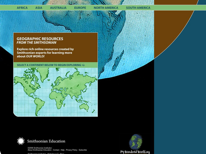
Smithsonian Education: My Wonderful World
Interactive map of the world in which students select a continent and begin exploring using online resources from the Smithsonian Institute.
Read Works
Read Works:north America:comparing Data From Different Countries Around the World
[Free Registration/Login Required] A chart with land and population data from Canada, the United States of America, the United Kingdom, and Japan. A question sheet is available to help students build skills in reading comprehension.
Other
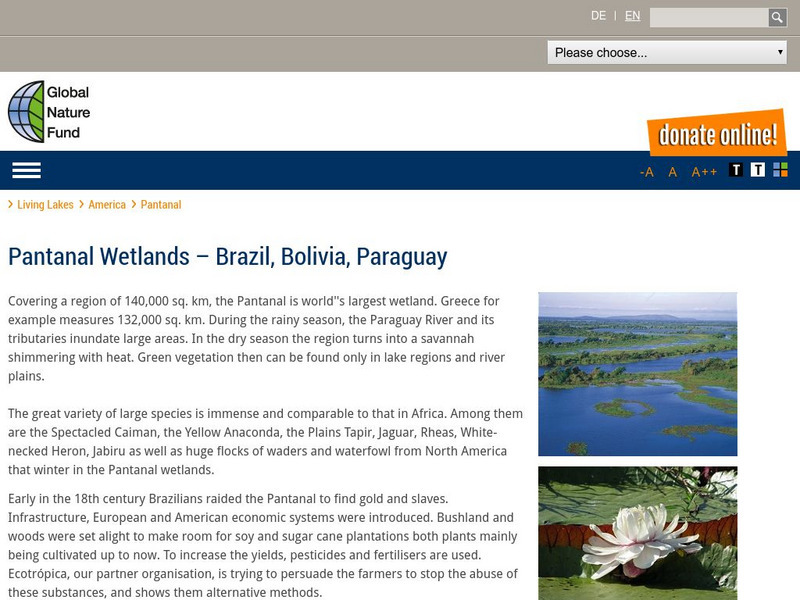
Global Nature Fund: Pantanal
A web resource that describes the Pantanal, the "world's largest wetland". It covers parts of Brazil, Bolivia, and Paraguay. Click on 'detailed data' to read lots of factual information.
Legends of America
Legends of America: Texas Legends: San Antonio a Mecca for History Buffs
A history buff's delight with this brief look at the history of the city of San Antonio, Texas.
University of Waterloo (Canada)
University of Waterloo: Archaeology in Arctic North America
A resource regarding the Arctic region and a look at some of the recent archaeological projects there. The introduction offers a short look at the geography and history of the area.
US National Archives
Nara: A New Deal for the Arts: Rediscovering America
As part of the artistic nationalism that took place during the Great Depression, this website from the National Archives and Records Administration focuses on many American scenes. Lots of focus on small-town life and various regions.
US Department of Education
Nces: The Nation's Report Card (Naep)
The Nation's Report Card, the National Assessment of Educational Progress (NAEP), is the only nationally representative and continuing assessment of what America's students know and can do in various subject areas. Since 1969,...
Library of Congress
Loc: Portuguese Mapping the New World
The Library of Congress provides a discussion of the importance of Portugal in the "European Age of Discovery and Exploration." Includes links to related pages within this same Library of Congress site.


