Hi, what do you want to do?
Franco Cavazzi
Roman empire.net: Roman Italy Map
This site from Roman-Empire.net is an interactive map of Roman Italy. Areas, Regions, Tribes, Towns, Cities, Rivers, Lakes, and Mountains can be searched for with pull-down menus.
Cynthia J. O'Hora
Mrs. O's House: Sheets Island Archipelago
The city of Harrisburg, Pennsylvania and Central Pennsylvania Conservancy are deciding who should own a small island in the Susquehanna River, deeded to the city by it's original inhabitant, James McCormick, in 1912 under the conditions...
Geographic
Map of Canada
Basic map of Canada. Includes major cities, coastlines, major lakes and rivers, and bays.
InterKnowledge Corp.
Inter Knowledge Corp: South Africa
InterKnowledge Corp provides basic facts about the location, geography, climate, history and culture of South Africa.
InterKnowledge Corp.
Inter Knowledge Corp: Ghana
InterKnowledge Corp provides basic facts about the location, geography, climate, history and culture of the country Ghana.
State Library of North Carolina
N Cpedia: Fontana Dam
Fontana Dam, the largest dam of the Tennessee Valley Authority (TVA) system, is located on the Little Tennessee River in Graham County. Completed in 1945, it is a gravity-type concrete structure 480 feet high, 2,365 feet long, and 376...
State Library of North Carolina
N Cpedia: Lake Mattamuskeet
Lake Mattamuskeet-so named by Algonquian Indians-is North Carolina's largest natural lake. The ancient body of water has not escaped man's intervention. Originally, Mattamuskeet was a shallow, self-contained lake without creeks or rivers...
State Library of North Carolina
N Cpedia: Dismal Swamp Canal
Dismal Swamp Canal, believed to be the oldest existing excavated waterway in America, runs generally north and south for 22 miles between Deep Creek, Va., and South Mills, N.C. The canal connects the Elizabeth and Pasquotank Rivers,...
InterKnowledge Corp.
Inter Knowledge Corp: Zimbabwe
InterKnowledge Corp provides basic facts about the location, geography, climate, history and culture of the country Zimbabwe.
Curated OER
Information About Ireland: An Outline Geography of Ireland
A general description of Ireland, including the physical landscape, rivers, climate, vegetation, urban settlement, manufacturing, agriculture, and others.
Wonderville Media
Wonderville: The Space Needle
Seattle, Washington, is home to an iconic tower called the Space Needle. It is 605 feet tall and 138 feet wide. At the time it was built, it was the tallest building west of the Mississippi River. Learn about The Space Needle in this...
Other
Monroe County Women's Disability Network: Maps & Globes: Water Forms
This site is provided for by the Monroe County Women's Disability Network. Some basic information about water on our planet and the various water forms that make up three-quarters of the earth's surface. Includes some simple quizzes to...
ClassFlow
Class Flow: National Geographic Survey
[Free Registration/Login Required] How much do you know about the world around us? Questions provided by National Geographic Survey. http://www.nationalgeographic.com/roper2006/findings.html
Andre Dollinger
Reshafim: The Nile
Along with a map of the Nile, read about settlements in the area and the importance of the Nile and its flooding to the ancient Egyptians. Follow hyperlinks to additional information.
Latimer Clarke Corporation
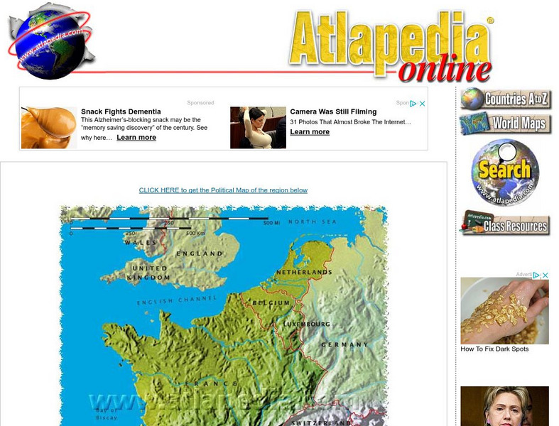
Physical Map of France
Map of France showing mountain ranges, rivers, and coastlines.
Forum Romanum
Outlines of Roman History: Beginnings of Rome: The Situation of Rome
The seven hills of Rome are shown on two maps, showing the hills and their relation to neighboring lands on the Italian peninsula. There is a brief discussion on the geographic importance of the hills.
Eduweb
Eduweb: Amazon Interactive
Games and activities help students explore the Ecuadorian Amazon. Learn about the rainforest and the Quichua people who call it home, and experiment with running a community-based ecotourism project along the Rio Napo.
US Geological Survey
U.s. Geological Survey
The U.S. Geological Survey reports on the latest news affecting the earth today, as well as providing a wealth of data, reports, and information.
Library of Congress
Loc: Map Collections 1500 2002
This collection provides maps dating back to 1500 up to the present. The collection includes: cities, towns, discovery and exploration, conservation and environment, military battles, cultural landscapes, transportation, communication,...
Wikimedia
Wikipedia: Indus Valley Civilisation
At this Wikipedia site you can read about chronology, geography and history of the Harappan civilisation in the Indus River Basin.
European Union
European Environment Agency: Nature and Wildlife
This site has the summary of a report on nature and wildlife in Europe. Read about the natural environment, changes resulting from human activity, or access a table of contents to read more.
Pennsylvania Historical and Museum Comission
Explore Pa History: Pennsylvanians and the Environment
Discover the relationship between Pennsylvanians and the environment through this detailed, historical account which contains links to audio, video, pictorial images of the era.
Curated OER
National Park Service: Grand Canyon National Park
The official site from the National Park Service. Includes information to plan a trip there, its geologic significance, its biological diversity, natural features, and ecosystems.
INTERNET Red 2000
All About Spain: Spain a Z
A wonderful alphabetized listing from All About Spain of towns, cities, monuments, facts, and major attractions in the "All About Spain" website. Find your location and click on the link. This site is available in Spanish, English, and...
Other popular searches
- Ireland Geography Rivers
- Rivers and Lakes Geography
- Geography Rivers Year 3
- Geography Rivers Fieldwork
- Geography Rivers and Floods
- Geography Rivers Poems
- Geography Rivers of Canada
- Geography Rivers Thames
- Geography Rivers in Texas
- U. S. Geography Rivers
- U S Geography Rivers


