Hi, what do you want to do?
National Park Service
Leave it to Beavers
Many people know cats mark their territories by rubbing the back of their necks to leave a scent, but not many people know beavers also leave a scent to mark their territories. During the first activity of two, scholars use their noses...
Curated OER
State Research
Young scholars apply previous knowledge of the United States to label a classroom map and then work independently to complete an online scavenger hunt. This instructional activity is intended for an upper-elementary classroom studying...
Curated OER
Geography and Technology: Think the World of Your Community
Students recognize the meaning of the word community, the historical development of communities in Nebraska and the impact that technology has had and continue to have on the creation and growth of communities.
Curated OER
The Gulf Coast Region: Georgraphy, Demographics and the Effects of Hurricane Katrina
Students research Hurricane Katrina and create a Cause and Effect graphic organizer or a Chain of Events graphic organizer.
Curated OER
Walking on Maps
Students are introduced to the various types of maps and their functions. As a class, they play a game similar to twister to review map concepts. They answer questions about the map and use the internet to view larger maps of the world.
Curated OER
Biomes -- Part II
Students use the internet to gather information on the biomes of the world. They identify the climate and unique characteristics of each biome along with any threat to them. They create their own campaign to preserve wildlife.
Curated OER
Wetland Safari!
Students identify how humans, fish, plants, birds, insects and other wildlife benefit from wetland environments. They observe a wetland and its inhabitants, draw a migration map that represents how birds use wetlands in traveling long...
Curated OER
The Largest Volcano on Earth
Pupils create time-lines of tow major eruptions and use this information to determine what happens during an eruption. In this volcano lesson students read information about previous eruptions and create a time line.
Other
Groundspeak Inc.: Geocaching the Official Global Gps Cache Hunt Site
Geocaching is a unique online treasure hunt game. Players 'hide' a cache anywhere on the globe and other players must follow the clues to locate the cache. Great for getting practice using GPS. There is plenty of guidance to playing, as...
Read Works
Read Works: The Treasure Hunt
[Free Registration/Login Required] A literary text about some kids who surprise their friend Jordan with a treasure hunt for her birthday. A question sheet is available to help students build skills in reading comprehension.
Other
Classtools.net: Map Treasure Hunt
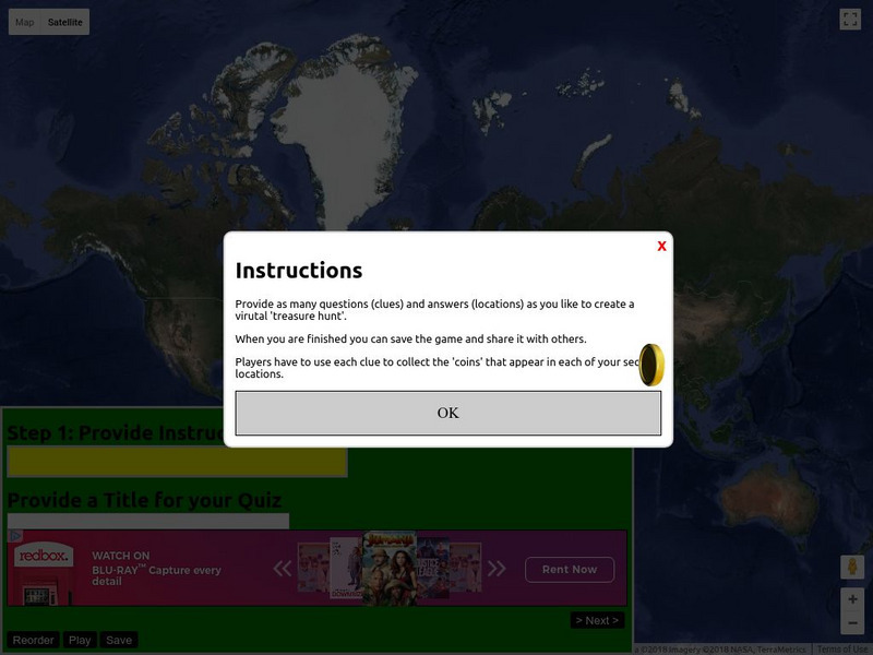
Use this tool to create a 'treasure hunt' based on Google maps. The teacher provides clues and locations, then saves the game and shares it with students and/or others. Players use the clues to collect the 'coins' that appear at each...


