Hi, what do you want to do?
PBS
Pbs Learning Media: Buster's Egyptian Adventure
Students join Buster Baxter on a ancient Egypt, in this geography lesson plan. Students learn about Cairo, ancient Egypt, the pyramids, the Nile River, and relevant vocabulary terms. Then students write about what they've learned in the...
Other
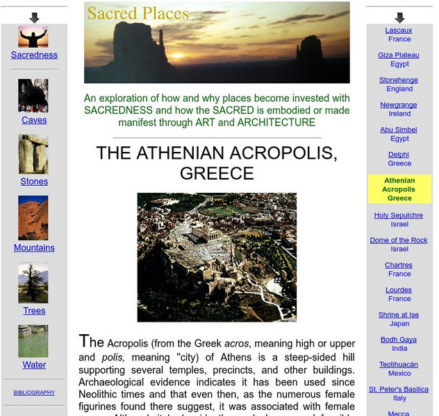
Sweet Briar College: Athenian Acropolis, Greece
An explanation of the term "acropolis" as well as a description of how the acropolis was used in classical Greece. Also contains extensive information about the Parthenon and Erechtheum, which were built on the Acropolis.
Smart History
Smarthistory: Latin American Art: An Introduction
Smarthistory presents a scholarly discussion on Latin American art. Along with photos and images, Dr. Maya Jimenez introduces the importance of studying Latin American art, defines the term Latin America and descirbes geographical...
Indiana University
Indiana University Bloomington: Abc's of Indiana Geology 4 [Pdf]
One of four sets of 26 ABC cards that have definitions and descriptions of geologic terms and earth science concepts. This set looks at significant geological locations in Indiana.
US Department of Education
Nces: The Nation's Report Card (Naep)
The Nation's Report Card, the National Assessment of Educational Progress (NAEP), is the only nationally representative and continuing assessment of what America's students know and can do in various subject areas. Since 1969,...
National Humanities Center
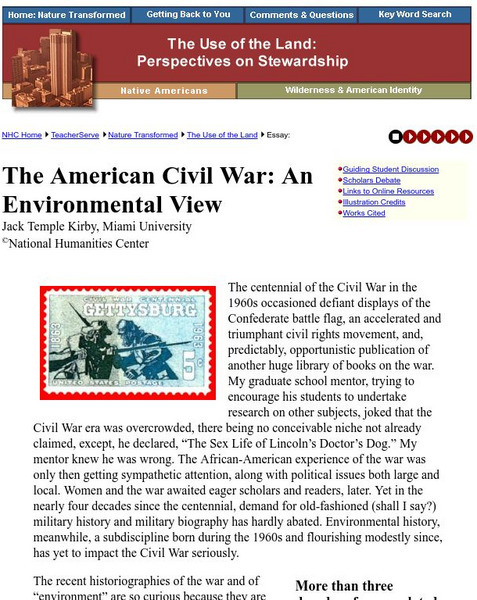
National Humanities Center: Teacher Serve: The American Civil War: An Environmental View
The telling of the Civil War from an ecological view from the National Humanities Center. The toll of life taken of young men and animals, the devastation of cities, towns, farmland, trees, and forests - all these factors are discussed...
ClassFlow
Class Flow: Geographic Terms
[Free Registration/Login Required] These five Activote questions will help determine if students can identify major geographic features to include fjords, canyons, cliffs, channels, sea, bay, and isthmus.
Scholastic
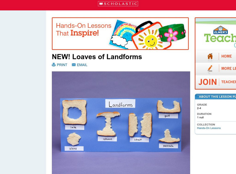
Scholastic: Loaves of Landforms
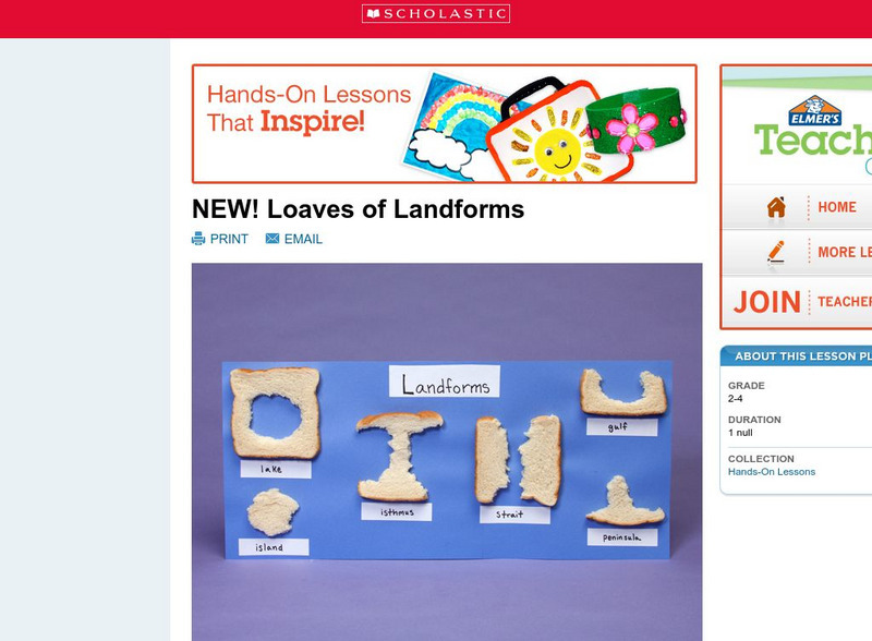
This is a comprehensive lesson plan to teach primary students about landforms. A foundation in geography begins with an understanding of the terms geographers use to describe the features of Earth. Help students grow their vocabulary and...
ClassFlow
Class Flow: The Tides
[Free Registration/Login Required] This flipchart provides a comprehensive study of the tides with the use of pictures, graphs, tables, Internet web sites, animations, and student interaction with the ACTIVboard, a glossary of tide...
Other
Monroe County Women's Disability Network: Maps & Globes: Water Forms
This site is provided for by the Monroe County Women's Disability Network. Some basic information about water on our planet and the various water forms that make up three-quarters of the earth's surface. Includes some simple quizzes to...
Enchanted Learning
Enchanted Learning: Types of Maps
Enchanted Learning provides an easy-to-understand explanation of projections. Site also provides a graph of related terms such as conic projection, cylindrical projection, Mercator projection, and more.
Scholastic
Scholastic: Loaves of Landforms!
A foundation in geography begins with an understanding of the terms geographers use to describe the features of Earth. This instructional activity is designed to help learners grow their vocabulary and learn to recognize common landforms...
PBS
Pbs Teachers:the Gulf Coast Region: Effects of Katrina
Research and discuss the history, topography, economics and demographics of the Gulf Coast Region to explain how and why Hurricane Katrina caused such devastation. Predict the long-term effects of this storm on the geography of the region.
Other popular searches
- Geography Terms Smartboard
- Basic Geography Terms
- Geography Terms Smart Board
- Esl Geography Terms
- Basic Geography Terms Lesson
- Sixth Grade Geography Terms
- H2o Geography Terms
- Geography Terms Lesson
- Geography Terms Flashcards
- Geography Terms Lesson Plans


