Curated OER
Venezuela Political Map
Colorful detailed map and satellite image of Venezuela from Google Earth.
Curated OER
Burma Political Map
An easy to read political map of Burma. Be sure to scroll down to see a satellite image of Burma from Google Earth. You can also find some facts about Burma at the bottom of the page.
Science Buddies
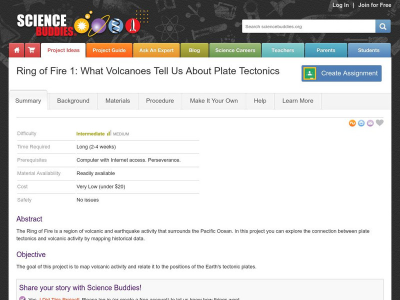
Science Buddies: Ring of Fire 1: What Volcanoes Tell Us About Plate Tectonics
The Ring of Fire is a region of volcanic and earthquake activity that surrounds the Pacific Ocean. In this project you can explore the connection between plate tectonics and volcanic activity by mapping historical data.
Ohio Department of Natural Resources
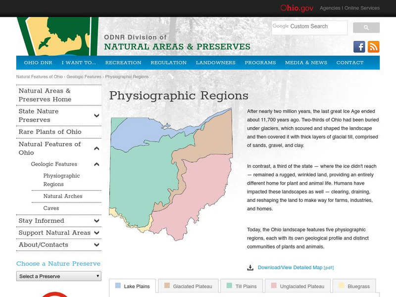
Ohio's Five Physiographic Regions
Gives characteristics and history of Ohio's different regions. Map included. Very detailed descriptions of rivers and nature perserves in the State.
Encyclopedia of Earth
Encyclopedia of Earth: Antarctica
Facts about the location, human geography, physical geography, climate, geology, and topography of Antarctica.
PBS
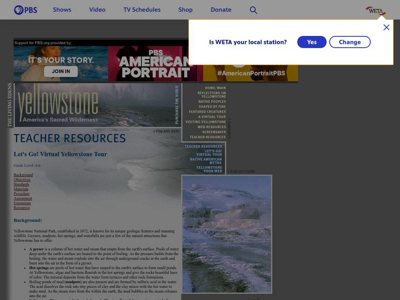
Pbs Teachers:yellowstone: Let's Go! Virtual Yellowstone Tour
Define the terms geyser, mud pot, hot springs, erosion and uplift. Identify the geologic wonders of Yellowstone National Park and write a description of the geologic features to be included on a map for a self-guided tour for park visitors.
Wikimedia
Wikipedia: Mayon Volcano
A Wikipedia entry on the Mayon Volcano, the most active volcano in the Philippines. Excellent photos and maps. Includes a log of recent eruptions.
US Geological Survey
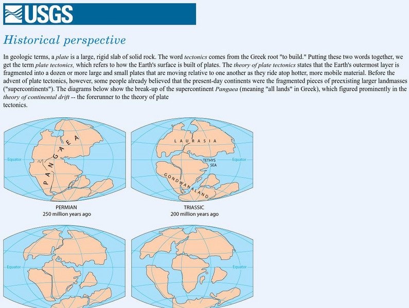
Usgs: Historical Perspective
A graphic map of Lauraisia is provided at this site on continental drift and the history of the Earth. You can also search text to find reference to Laurasia.
American Geosciences Institute
American Geosciences Institute: Earth Science Week: Places on the Planet: Latitude and Longitude
Students learn how citizen scientists involved in the Geological Society of America's EarthCaching project use GPS technology and latitude and longitude coordinates to find special places on the Earth.
US Geological Survey
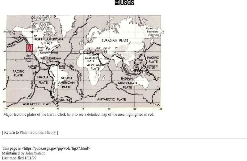
Usgs: Major Tectonic Plates of the Earth
A map of major tectonic plates of the Earth showing where the Eurasian and Indo-Australian plates are located.
NOAA
Noaa: Explorations
This resource page contains an exhaustive list of pictures and videos of sea floor structures found all over the world.
City University of New York
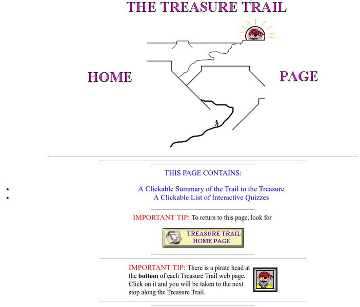
Earth and Environmental Sciences: Treasure Hunt
Looking for enrichment? Here's an online treasure hunt requiring skill with directions, distance, contour maps, latitude, and longitude. Also supplementing the activity are interactive quizzes on latitude, longitude, and other related...
Curated OER
Madagascar Satellite Photo
Check out this great satellite image of Madagascar from Google Earth. Scroll past the informative political map to see the image. There is more information about the country below the satellite map.
PBS
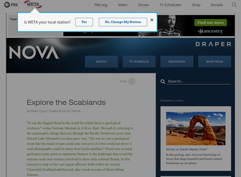
Nova: Mystery of the Megaflood
This interactive site provides geologic evidence for one of the world's largest prehistoric floods. Nova's interactive map has numerous pictures of the Scabland's geologic features formed when Glacial Lake Missoula's ice dam gave way and...
Texas A&M University
Ocean World: The Dust Bowl and Aftermath
Description of the Dust Bowl from a geological and climatological perspective and the human impact on these processes. Includes maps, photos, references, and links to related material.
Oregon State University
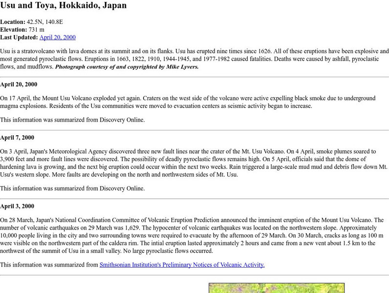
Volcano World: Japan's Volcanic Region
View photographs and maps as well as read a geological article about the volcanic region of Mt. Usu and Mt. Toya near Hokkaido, Japan.
Curated OER
Educational Technology Clearinghouse: Clip Art Etc: William Smith
William Smith (March 23, 1769 - August 28, 1839) was an English geologist, credited with creating the first nationwide geological map.
US Geological Survey
Usgs: Mid Oceanic Ridge
This site from USGS provides a map of the mid-oceanic ridge in the sea floor of oceans.
European Space Agency
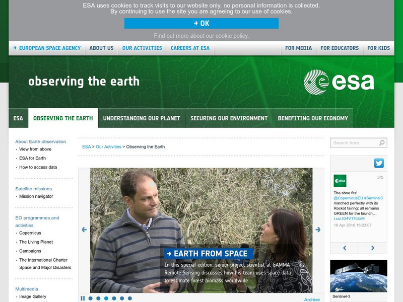
European Space Agency: Observing the Earth
This resource provides information about the Earth, as well as satellite images and videos of what is taking place on the earth currently.
Other
Grand Canyon Explorer: Continental Drift
Maps and detailed descriptions of the breakup of Pangea due to a great rift opening.
Other popular searches
- Geologic Mapping Loveland
- Geologic Mapping of Loveland
- Geologic Mapping Love Land
- Creating a Geologic Map
- Geologic Mapping of Love Land

