Curated OER
"Czech It Out" - A Look at Eastern Europe
Learners research several countries in Eastern Europe. Students compare and contrast several Eastern European countries and then choose a specific country to research and prepare a class presentation with their findings.
Curated OER
The Roman Empire
Fourth graders identify the reasons behind the fall of the Roman Empire and describe the changes that occurred after the fall of the Roman Empire.
Curated OER
Around The World
Students search the Internet through a sequence of steps to reach the country of their nationality. They research and collect information about their country.
Curated OER
East Asia--The Asian Holocaust
Ninth graders study the effects of the Asian Holocaust by comparing it to the Nazi Holocaust. They view a Power Point and discuss the comparisons between both Holocausts. As they compare and contrast both, they discuss their reactions...
Curated OER
Battle of the Bulge
Students identify the date and location of the Battle of the Bulge and the sides battling in it and who the military leaders were. They identify what each side did in the battle, who the victor was, and the condition each side was in...
Other
Yahoo Kids World Factbook: Germany
A resource about Germany. Learn about the country's geography, population, economy, government, military, foreign relations. View statistical facts, a country map, and the national flag.
Other
Stadtplandienst Map Service
A helpful tool in finding locations in Germany. Just type in an address or town/city, or click on the interactive map, and receive a map of your destination. This site is only in German.
University of Texas at Austin
Ut Library: Perry Castaneda World War Ii Maps
An excellent collection of WWII maps. Scroll down for selections from the European Theater of the war.
Other
Modern City and Country Maps of Germany
A German Government user-friendly site that gives links to sites with excellent, up-to-date maps of Germany.
Central Intelligence Agency
Cia: World Factbook: Germany
This resource from the CIA World Factbook provides a detailed fact sheet of Germany. The content covers the country's geography, people, government, economy, communications, transportation, military, and transnational issues. It includes...
Nations Online Project
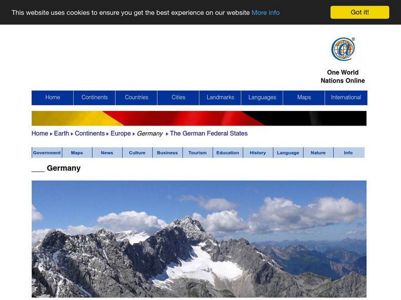
Nations Online: Germany
Provides a country summary and destination guide to Germany, background details, and numerous links to key information on the nation's culture, history, geography, economy, environment, population, news, tourism, government, maps, and more.
Lizard Point Quizzes
Lizard Point: Germany: States Quiz
Test your geography knowledge by taking this interactive quiz over the states in Germany.
Library of Congress
Loc: World War Ii Military Situation Maps
World War II Military Situation Maps contains maps showing troop positions beginning on June 6, 1944 to July 26, 1945. Starting with the D-Day Invasion, the maps give daily details on the military campaigns in Western Europe, showing the...
Other
Golf Europe: Golf Clubs in Germany/other
"Germany has 500+ golf clubs with some 300,000+ members which may come as a surprise to some. The game enjoys increasing popularity, attracts respectable sponsorship money and boastsone of the the finest European golfers ever, in the...
University of South Florida
Holocaust Timeline: The Nazification of Germany
This incredible site outlines the rise and implementation of the Nazi Party in Germany. While learning about Hitler's transformation of Germany, explore the incredible pictures, audio clips, maps, video clips, and an interactive quiz.
US Holocaust Memorial Museum
U.s. Holocaust Memorial Museum: World War Ii in Europe: Animated Maps
The maps on this website show the ebb and flow of Germany's initial domination of Europe, and then the allies' retaking of the territory in WW II. Audio commentary describes the changes from 1939 to 1945.
Google
Google Maps: Virtual Tour of Pergamon Museum, Berlin
Take a virtual tour through the Pergamon Museum located on Museum Island in Berlin. This world famous museum has life-size, reconstructed monuments from ancient civilizations, including the Pergamon Altar of Zeus, the Roman Market Gate...
American-Israeli Cooperative Enterprise
Jewish Virtual Library: Jewish Emigration From Germany 1933 1939 Map
This map shows the places to which Jews emigrated between 1933 and 1939, and the numbers of emigrants to each place. Thousands were able to escape Germany, but millions more were not able to.
Latimer Clarke Corporation
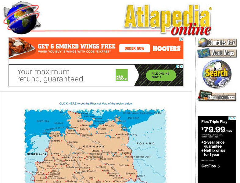
Political Map of German Speaking Countries
Map of Germany, Austria, Liechtenstein and Switzerland showing major cities and rivers, as well as neighboring countries.
Latimer Clarke Corporation
Physical Map of German Speaking Countries
Map of Germany, Austria, Liechtenstein and Switzerland showing topographical features of the German-speaking countries and their neighbors.
Encyclopedia of Earth
Encyclopedia of Earth: Germany
The Encyclopedia of Earth provides an overview of Germany, including its geography, natural resources, history, government, economy, and much more. Maps and images are also included, along with sources used to create the entry.
World Atlas
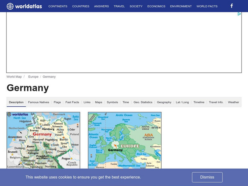
World Atlas: Germany
WorldAtlas.com looks at Germany, including quick facts and figures and many maps.
Other popular searches
- Map of Germany
- Map of Germany 1933
- Outline Map of Germany
- Picture Map of Germany
- Germany Map Study
- Germany Map Activity
