Edline
How Did the Unification of Germany Change the Course of World History?
Here you'll find a nice guided notes learning exercise on Otto von Bismarck, which details Bismarck's plan to unify Germany, as well as asks learners to analyze his motivations and overall impact.
Curated OER
Getting To Know Germany
In this getting to know Germany worksheet, students use map skills (map not included) to answer 14 questions, then draw a map of Germany labeling the capital and major cities.
Curated OER
Getting to Know Austria- Map Skills
In this Austria map skills worksheet, students apply map skills to answer 14 fill in the blank questions about the country. They determine border countries, identify regions, find the capitol, and name rivers. They draw a map of Austria...
Curated OER
Germany States Map Quiz
In this online interactive geography quiz worksheet, students examine the map that includes 12 German states. Students match the names of the states to the appropriate locations on the map.
Curated OER
Germany
In this map of Germany worksheet, students view a map of Germany and then label its regions, major cities and important landmarks on a paper version of a map of Germany.
Curated OER
Mapping Germany
In this Germany worksheet, students label the map of Germany with different landmarks. Students label the map with 10 different cities, rivers, and borders.
Curated OER
Mapping World War II: During and After
In this World War II learning exercise, students follow the provided instructions to mark 2 maps according to events and outcomes of the war.
Curated OER
Germany : 1500-present
In this German history study guide worksheet, students read a brief overview pertaining to the history of Germany from 1500 to the present.
Curated OER
Prisoner of War Camps in Germany
In this prisoner of war camps worksheet, students study a map of the prisoner of war camps in Germany. Students read information about the conditions in the German POW camps of World War II.
Curated OER
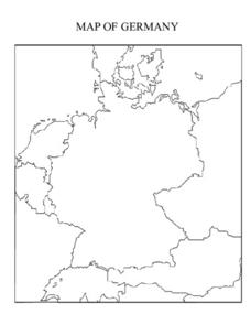
Map of Germany
In this map worksheet, pupils can color and label a blank map of Germany. This map show Germany and it's surrounding neighbors.
Curated OER
Creating a Map of France
In this crating a map of France learning exercise, students find and label important parts of France, bodies of water, mountains and surrounding countries.
Mrs. Robbins' Social Studies Site
The Berlin Blockade
The Berlin Blockade may not take up as much space in the history books as other events of the Cold War, but for the citizens of west Berlin in 1948—and the events to follow between the Soviet Union and the United Stattes—those 318 days...
Curated OER
The Treaty of Versailles: An Outside Perspective
In this World War I worksheet, students read an article about the Treaty of Versailles and examine 2 maps. Students then respond to 8 short answer questions based on the information.
Curated OER
Sixth Grade Social Studies Quiz
In this social studies instructional activity, 6th graders complete multiple choice questions about economics, climate, maps, and more. Students complete 15 questions.
Curated OER
Project Map: Latitude And Longitude Worksheet
In this latitude and longitude worksheet, students find the coordinates of 14 cities around the world and use this information to complete 14 short answer questions. This worksheet includes online atlas web links.
Curated OER
Europe 1914
In this Europe 1914 map worksheet, pupils note the 9 regions of the Europe labeled on the map and their relevance to World War II.
Curated OER
Renaissance and Reformation Chapter Test
This is a traditional textbook chapter test on the Renaissance and Reformation, complete with eight multiple choice questions, six fill-in-the-blank, and a 10-question matching section identifying key individuals and terms from the...
Curated OER
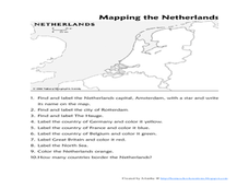
Mapping the Netherlands
In this Netherlands instructional activity, students label cities, countries, landforms, and more. Students label 10 places in the Netherlands.
Curated OER
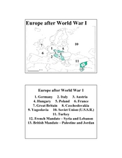
Europe after World War I
In this Europe after World War I map worksheet, learners note the 11 regions of the Europe labeled on the map.
Curated OER
European History
In this world history worksheet , 5th graders look for information related to the history of Europe. They view the facts from a map and apply them to different activities.
Curated OER
Number the Stars Geography
In this geography and literature worksheet, students explore the location of the 3 countries mentioned repeatedly in Lois Lowry's novel Number the Stars. Students color the countries on a map of Europe and create a key to match the...
Curated OER
Choral Music II
In this music worksheet, students look at a map of the world and find the places where the Santa Fe, New Mexico Desert Chorale has traveled. There is little information about music on this page.
Curated OER
Open Cities: Europe
In this European cities activity, 10th graders find the countries of Europe on a map, match countries with capital cities, categorize different types of cities and identify cities from pictures and on a map.
Curated OER
Drifting Continents
In this plate tectonics worksheet, learners study the continents map and complete 8 short answer questions related to them. They predict what the Earth will look like millions from now.
Other popular searches
- Map of Germany
- Map of Germany 1933
- Outline Map of Germany
- Picture Map of Germany
- Germany Map Study
- Germany Map Activity


