Hi, what do you want to do?
Curated OER
Our Barrio: Our Community/Adams & Normandie
Third graders examine various structures and people, including the region of Adams and Normandie, in Los Angeles. They conduct Internet research, and identify and locate features in the Adams/Normandie region during the past 60/70 years.
Curated OER
The AIDS/HIV Pandemic in Sub-Saharan Africa
Young scholars become aware of the level of the impact on the current and future socio-economic structures of sub-Saharan Africa by the AIDS pandemic.
Curated OER
What Do We Do About Dues?
Students analyze whether the U.S. should pay dues to the United Nations. They discuss the purposes of the U.N., conduct Internet research on the U.N. website, and summarize the activities and accomplishments of one of the U.N. agencies.
Curated OER
Onikolha (wampum) Belts
Students study the seven wampum belts displayed on the outside of the Turtle School. They create a team project using hyper studio on wampum belts. They study the important historical role and significant details of the wampum belts and...
Curated OER
World War I: Overview of the Great War
Ninth graders read first hand accounts of soldiers' lives during World War I, examine historical timeline of major events during war, and research and listen to clips of popular music of the time.
Curated OER
The American Dream
Students expand their knowledge by researching on the Internet the African American civil rights movement and compiling a timeline of events and heroes. In addition to the civil rights timeline, students identify the key historical sites...
Curated OER
Lesson L - Hit The Road Jack (or Jill)
Students discuss forms of transportation in Delaware during 18th Century, find approximate area of court order on current map of state, draw layout of their school, and decide where new hallway or outside pathway would be most needed.
Curated OER
Give Me the C and D Canal!!!
Students estimate the distance between Baltimore to Philadelphia via the water route before the Chesapeake and Delaware Canal was built. They familiarize themselves with canals and how transporation and economic necessities dictate the...
Curated OER
Ancient Greece: The Olympics and the Gods
Research Ancient Greece, the Olympic games, and Greek mythology. Young historians will research Ancient Greece and complete multiple activities about the history and culture. This is a unit of lessons.
American Geosciences Institute
American Geosciences Institute: Earth Science Week: Exploring 'Wild' Places With Gis
This lesson plans uses Geographic information systems (GIS) technology to explore the local geography.
American Geosciences Institute
American Geosciences Institute: Earth Science Week: Exploring Energy With Gis
In this lesson, students will learn how Geographic Information Systems technology is used to locate energy reserves around the Earth. Provides link to website with lessons on using GIS. (Due to site changes, you may need to search for...
American Geosciences Institute
American Geosciences Institute: Earth Science Week: Global Gis Lesson: Exploring North American Earthquakes
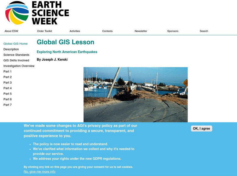
In this series of lessons, students use Geographic Information Systems (GIS) together with the tools and data from the North America Global GIS CD to investigate earthquakes, volcanoes, and population from a local to global scale....
American Geosciences Institute
American Geosciences Institute: Earth Science Week: Exploring Change With Gis
Gives an overview of how Geographic Information Systems technology is used to monitor changes in conditions on the Earth. Provides a link to the website with lessons on using GIS. (Due to site changes, you may need to search for teachers...
American Geosciences Institute
American Geosciences Institute: Earth Science Week: Gis and Careers
Learners learn about GIS technology for solving problems and learn how employers seek workers who know how to make good decisions in a complex world.
Science Education Resource Center at Carleton College
Serc: Mapping Local Data in a Gis
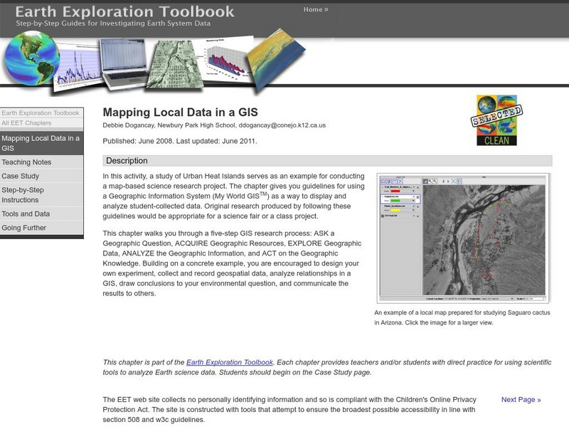
In this activity, students will learn how to conduct a map-based science research project using a Geographic Information System (GIS). They will design an experiment, collect and record geospatial data, analyze geospatial relationships...
Other
Esri Gis Education Community
Educators can incorporate ESRI GIS into their classroom to enrich geography lessons and use this community to trade ideas with other educators.
Science Education Resource Center at Carleton College
Serc: Looking Into Earth With Gis
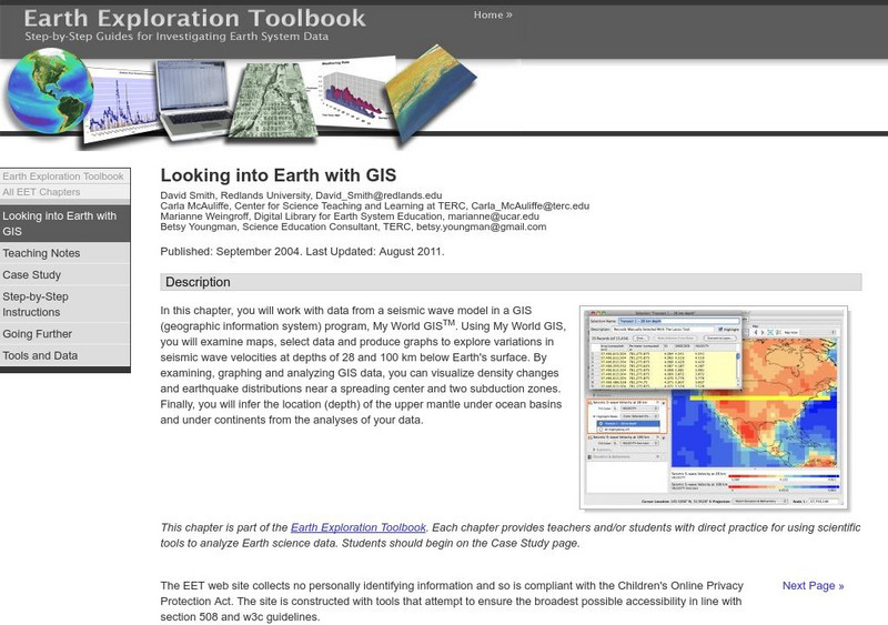
Multi-lesson activity where students will work with data from a seismic wave model in a GIS (geographic information system) program. They will examine maps, select data, and produce graphs to explore variations in seismic wave velocities...
TeachEngineering
Teach Engineering: What Is Gis?
Geographic information systems (GIS) are important technology that allows rapid study and use of spatial information. GIS have become increasingly prevalent in industry and the consumer/internet world in the last 20 years. Historically,...
National Geographic
National Geographic: The Politics of Place Naming
Students use an online geographic information system (GIS) to uncover the geographic and social context of streets named after Martin Luther King, Jr. They map street locations to identify regional patterns in honoring King, consider...
Science Education Resource Center at Carleton College
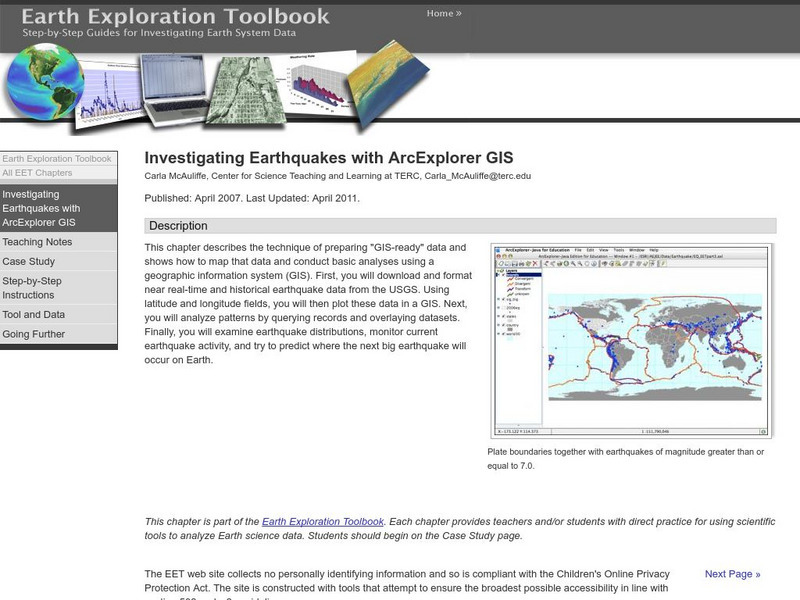
Serc: Investigating Earthquakes With Arc Explorer Gis
This activity allows students to predict future earthquake activity by interpreting the results of geographic information system (GIS) analysis.
Science Education Resource Center at Carleton College
Serc: Exploring Ncar Climate Change Data Using Gis
With ArcGIS and climate data from the National Center for Atmospheric Research Climate Change Scenarios GIS Data Portal, students learn the basics of GIS-based climate modeling.
Science Education Resource Center at Carleton College
Serc: Gis Exploration Using the High Plains Aquifer Databases
Students work with databases and GIS to develop saturated thickness maps. Each database consists of observations made by drillers where they have encountered the High Plains aquifer base and the annual water-level measurements taken in...
Science Education Resource Center at Carleton College
Serc: Using Gis to Map Emergency Response to Municipal Flooding
In this lesson learners will work with municipal data and computer mapping to determine the priorities of emergency response to flooding in a local town. This can be used as a lab activity or as a group or individual project, and can be...
TeachEngineering
Teach Engineering: Projections and Coordinates: Turning a 3 D Earth Into Flatlands
Projections and coordinates are key advancements in the geographic sciences that allow us to better understand the nature of the Earth and how to describe location. These innovations in describing the Earth are the basis for everything...
Other popular searches
- Gis Data
- Gis Map
- Gis Software
- Gis Environment
- Gis and Gps Technology
- Gis Gps
- Gis and Remote Sensing
- Gis Data Map
- Geography, Gis
- Gis Lesson Plans
- Gps/gis
- Gis Water


