Teach Engineering
Projections and Coordinates: Turning a 3D Earth into Flatlands
Introduce your class to map projections and coordinates, the basics for the work done in a GIS, with an activity that uses Google Earth to challenge learners to think about the earth's shape.
Aurora Trust
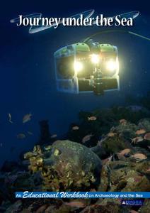
Journey Under the Sea
Discover the interesting world of maritime archaeology and explorations under the sea with this nice set of worksheets, which cover such topics as search tools and techniques of underwater archaeology, carbon dating, vessel types, and...


