Hi, what do you want to do?
American Geosciences Institute
American Geosciences Institute: Earth Science Week: Exploring Change With Gis
Gives an overview of how Geographic Information Systems technology is used to monitor changes in conditions on the Earth. Provides a link to the website with lessons on using GIS. (Due to site changes, you may need to search for teachers...
TeachEngineering
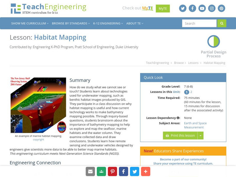
Teach Engineering: Habitat Mapping
The marine environment is unique and requires technologies that can use sound to gather information since there is little light underwater. In this lesson, the students will be shown benthic habitat images produced by GIS. These images...
TeachEngineering
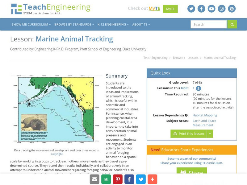
Teach Engineering: Marine Animal Tracking
This lesson engages students in an activity to monitor animal foraging behavior on a spatial scale. The students will break into groups and track each other's movements as they move through a pre-determined course. The results will be...
Other popular searches
- Gis Data
- Gis Map
- Gis Software
- Gis Environment
- Gis and Gps Technology
- Gis Gps
- Gis and Remote Sensing
- Gis Data Map
- Geography, Gis
- Gis Lesson Plans
- Gps/gis
- Gis Water


