University of California
Us Geological Survey: Cartogram Central
The USGS offers detailed information on Types of Cartograms, Congressional Districts, Software for Cartograms, Publications, and a Carto-Gallery.
Other
Nyc.gov: Ny City Map
Enter an address or area into NYCityMap and not only will it be highlighted on the map, but you will also be able to find schools, libraries, hospitals, parks, markets, wifi hotspots, etc. that are in close proximity to the address.
Other
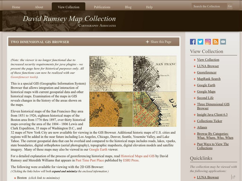
David Rumsey Historical Map Collection
The collection of more than 150,000 maps focuses on rare 18th and 19th-century maps of North and South America, although it also has maps of the World, Asia, Africa, Europe, and Oceania. The collection includes atlases, wall maps,...


