Curated OER
What Does Your First Day of Winter Look Like?
Students brainstorm the characteristics of winter. Using an email program, they share their characteristics of winter with those in another part of the country. They compare and contrast each letter they receive with their own criteria...
Curated OER
Missing Masterpieces
Students investigate a fictitious crime involving stolen art masterpieces. They work collaboratively in teams to solve the fictitious crime. Students return the stolen paintings in a Microsoft PowerPoint "portfolio" to their owner. They...
Curated OER
Chemical Changes by Gems
Seventh graders observe that heat is produced when two substances are combined. They brainstorm how, and then experiment to find out which of two chemicals created the heat.
Curated OER
Pollution Solution
Fourth graders examine how trees help to absorb the pollution that is emitted from automobiles. They review the process of photosynthesis and determine how forest management is important on their reservation. They think about the...
Curated OER
Drifting Continents, Dynamic Results
High schoolers plot earthquake and volcano data using a Compass Rose Plotting. They explain the relationship between plate movement and connection. They draw conclusions that earthquakes and volcanoes occur in predictable locations.
Curated OER
Trekking to Timbuktu
Students view a television show to provide a context for conducting research into the location and culture of Timbuktu. The students complete a report on the subject in the form of a research paper.
Curated OER
Fundamentalism
Eighth graders explore the historical roots of fundamentalism and determine whether fundamentalism is a religion or a political ideology. They will examine different religious fundamentalist movements around the world noting any...
Curated OER
Help Save the Polar Bear
Students use ice cubes to demonstrate how the polar ice caps are melting and how it effects the polar bears. In this polar bear lesson plan, the teacher explains how polar bears live on the north pole and how they are having trouble due...
Curated OER
Geography Made Fun with Technology
Students incorporate knowledge box into their classroom activities. In this technology integration lesson, students fill out a graphic organizer using Glossopedia to analyze a new subject.
Curated OER
Critical Literacy In The 21st Century
Pupils read the book Sitti's Secrets and complete prediction and comprehension activities. In this literacy lesson plan, students also write questions and comments they have on chart paper.
Curated OER
Introduction to Junkanoo! A Bahamian Festival
Learners examine a Bahamian festival called Junkanoo. They analyze how group cooperation is related to the festival. They finally identify how factions form and how they can help or hurt a community.
Curated OER
Loggerhead Nest Management Program
Students identify the sea turtle management documentary and complete an activity for each slide. They plot the location of nests laid on the island they patrol and discuss their rationale for management decisions. Finally, students...
National Endowment for the Humanities
Neh: Edsit Ement: Mapping Our Worlds
In this lesson, introduce your learners to the world of maps and discover a world of information online. Students learn how to identify different types of maps, comparing maps to the rooms of a house.
The Newberry Library
Newberry: Political and Military History: Map 15: The World at War, 1944
Lesson for K-12 using historical map teaches students about the relationship between perspectives of the world and map projections.
BSCS Science Learning
Bscs: Globe at Night Dark Skies
In this inquiry, students predict the best place to stargaze in Arizona based on the brightness of the night sky. Students are introduced to the concept of light pollution and Globe at Night, a global citizen science project in which...
BSCS Science Learning
Bscs: Globe at Night Dark Skies
In this inquiry, students predict the best place to stargaze in Arizona based on the brightness of the night sky. Students are introduced to the concept of light pollution and Globe at Night, a global citizen science project in which...
American Geosciences Institute
American Geosciences Institute: Earth Science Week: Exploring Color Maps
An activity where students study the Ozone Hole poster used that brings together colorful images of over 30 years of satellite observations of the ozone hole. Students interpret the color on the globes to see how the ozone hole has...
Mariners' Museum and Park
Mariners' Museum: Education: Create a Globe [Pdf]
Simple instructions on how to make a globe using a pattern provided, scissors, glue, and a balloon. PDF
Utah Education Network
Uen: Around the World
Provides continent and ocean games to learn more about maps, globes, and the world.
Alabama Learning Exchange
Alex: Come With Me to the Islands
Students will explore several islands by watching a multimedia presentation prepared by the teacher on islands and how they were formed. Students will then use globes and maps to find various islands using cardinal directions given by...
Climate Literacy
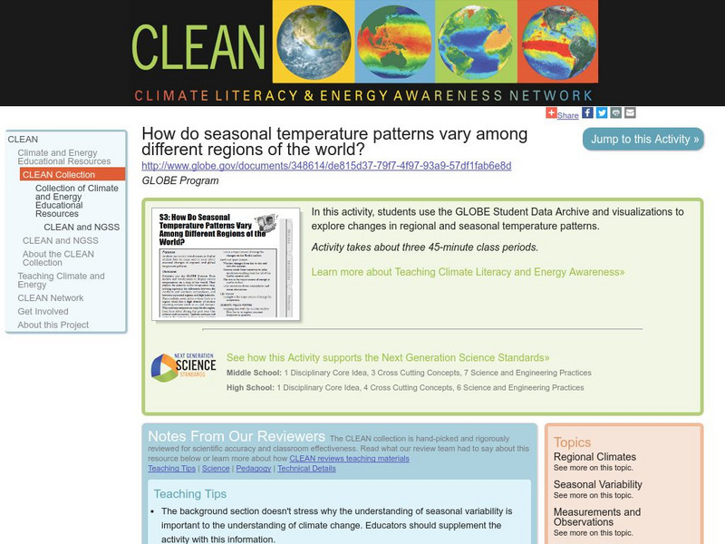
Clean: Seasonal Temperature Pattern Variation in Different Regions of the World
Students use GLOBE climate science visualizations to display student data on maps and to learn about seasonal changes in regional and global temperature patterns.
Other popular searches
- Maps and Globes
- Comparing Maps and Globes
- Reading Maps and Globes
- Communities Maps and Globes
- Examining Maps and Globes
- Using Maps and Globes
- Free Maps and Globes
- Maps and Globes Activity
- Maps and Globes Migration
- Maps & Globes
- Maps, Globes and Atlases
- Maps Skills and Globes


