Hi, what do you want to do?
Other
Jayzeebear.com: The World Online Map Game
Want a fun way to practice map skills and to learn geography? This colorful interactive online game is great for students.
National Geographic
National Geographic: Mapping Ocean Currents
An unfortunate spill of 92,000 rubber ducks into the ocean in 1992 elicited invaluable information about global ocean currents as scientists tracked their journeys around the world. In this lesson, students first learn about the Ocean...
Read Works
Read Works: The Difference Between Maps and Globes
[Free Registration/Login Required] This informational text passage shares the difference between maps and globes. This passage is a stand-alone curricular piece that reinforces essential reading skills and strategies and establishes...
National Geographic
National Geographic: Exploring Maps and Models of Earth
Young learners will discover what maps and globes look like and understand their functions.
Social Studies for Kids
Social Studies for Kids: Latitude and Longitude
A collection of latitude and longitude mapping activities ranging from pin-pointing exact locations on the globe to researching the history behind this basic geography concept.
Other
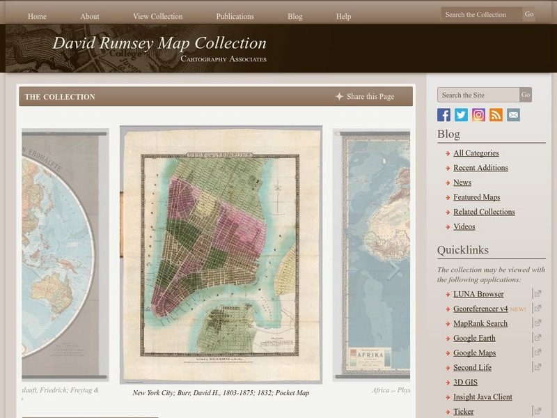
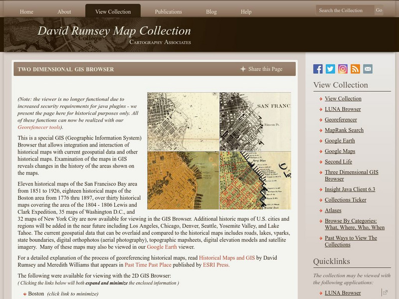
The David Rumsey Historical Map Collection
"The David Rumsey Historical Map Collection focuses on rare 18th and 19th century North and South America cartographic history materials. Historic maps of the World, Europe, Asia, and Africa are also represented. The collection...
Princeton University
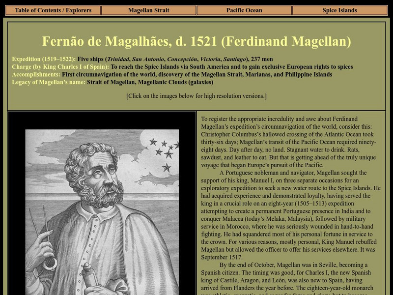
Strait Through: Magellan to Cook & the Pacific: Ferdinand Magellan
An interesting site that recounts Ferdinand Magellan's voyage and his goal of circumnavigating the globe. Included are portraits, drawings, and maps from the Princeton University Library.
Utah Education Network
Uen: Around the World
Provides continent and ocean games to learn more about maps, globes, and the world.
Other
Boat Safe Kids: Longitude and Latitude
This website starts at the very beginning and explains how round globes are transferred to flat maps. Then they explain the use of longitude and latitude.
Mariners' Museum and Park
Mariners' Museum: Education: Create a Globe [Pdf]
Simple instructions on how to make a globe using a pattern provided, scissors, glue, and a balloon. PDF
Other
Mcwdn: Maps & Globes: Landforms Mountains
Informative site about mountains. Look at the picture and read all about mountains, then take a quiz to show how much you know!
Bob Dunn
History Globe: The Oregon Trail: 1843 Map
Take a virtual tour of the historic Oregon Trail and see photos of the landmarks along the way. Compare the map of 1843 with a modern map of today.
Other
David Rumsey Historical Map Collection
The collection of more than 150,000 maps focuses on rare 18th and 19th-century maps of North and South America, although it also has maps of the World, Asia, Africa, Europe, and Oceania. The collection includes atlases, wall maps,...
Curated OER
Google for Education: Children and Technology: Google Earth
A demo presentation using Google Earth to fly around the world, visiting notable visitor points around the globe.
Hans Lohninger
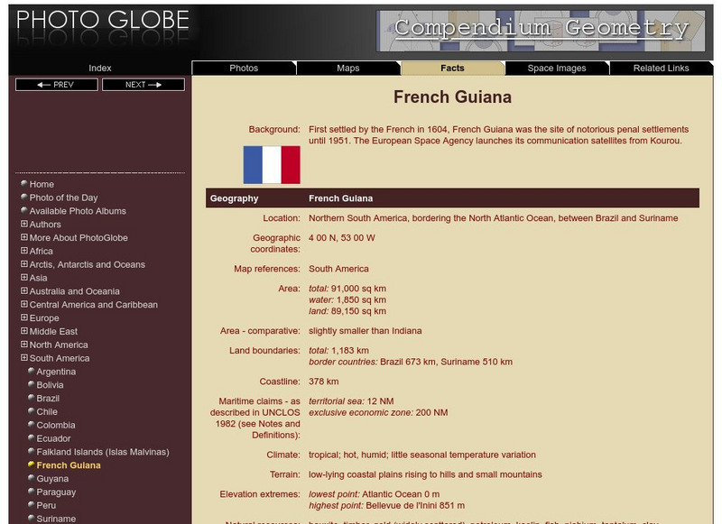
Photo Globe: French Guiana
Features many country specific facts about French Guiana in a well organized chart form. Content includes: geography, people, government, economy, communications, transportation, military, and transnational issues. This site is enriched...
Hans Lohninger
Photo Globe: Guyana
Offers general country specific facts about Guyana in a well organized chart form. Content includes: geography, people, government, economy, communications, transportation, military, and transnational issues. This site is enriched by a...
Hans Lohninger
Photo Globe: Paraguay
Provides many general country facts about Paraguay in a well organized chart form. Content includes: geography, people, government, economy, communications, transportation, military, and transnational issues. This site is enriched by a...
Hans Lohninger
Photo Globe: Suriname
Examines general country specific facts about Suriname in a well organized chart form. Content includes: geography, people, government, economy, communications, transportation, military, and transnational issues. This site is enriched by...
Hans Lohninger
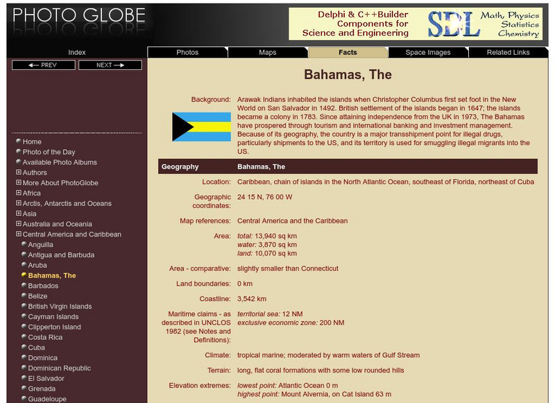
Photo Globe: The Bahamas
Presents many general country facts about the Caribbean Island of the Bahamas in a well organized chart form. This site is enriched by links to maps and an image of the flag.
Hans Lohninger
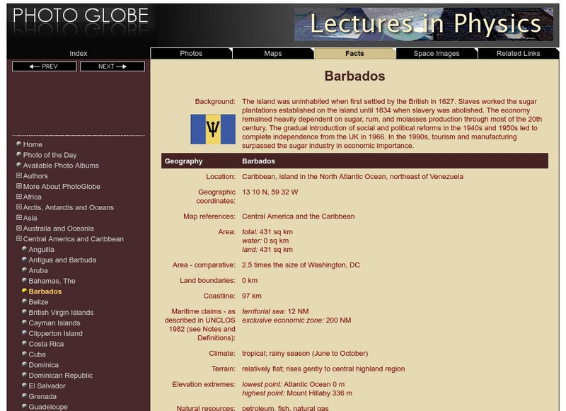
Photo Globe: Barbados
Provides many country specific facts about Barbados in a well organized chart form. Content includes: geography, people, government, economy, communications, transportation, military, and transnational issues. This site is enriched by...
Hans Lohninger
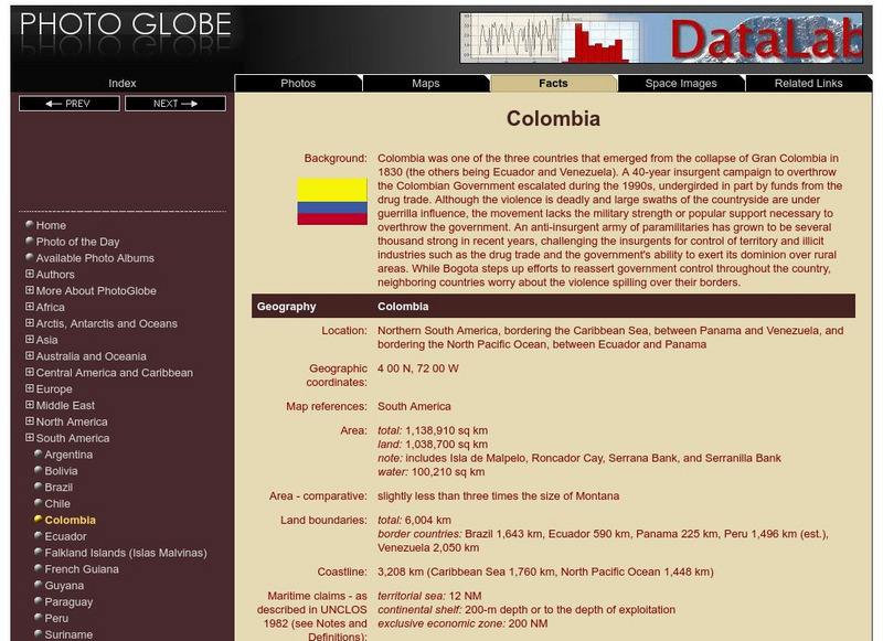
Photo Globe: Colombia
Presents many general country facts about Colombia in a well organized chart form. Content includes: geography, people, government, economy, communications, transportation, military, and transnational issues. This site is enriched by...
Hans Lohninger
Photo Globe: Uruguay
Explores general country facts about Uruguay in a well organized chart form. Content includes: geography, people, government, economy, communications, transportation, military, and transnational issues. This site is enriched by links to...
Hans Lohninger
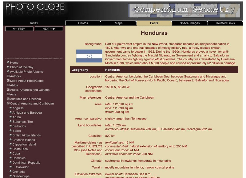
Photo Globe: Honduras
Presents country specific facts about Honduras in a well organized chart form. Content includes: geography, people, government, economy, communications, transportation, military, and transnational issues. This site is enriched by links...
Hans Lohninger
Photo Globe: Belize
Provides many general country facts and statistics about Belize in a well organized chart form. This site is enriched by links to maps and an image of its flag.
Other popular searches
- Maps and Globes
- Comparing Maps and Globes
- Reading Maps and Globes
- Communities Maps and Globes
- Examining Maps and Globes
- Using Maps and Globes
- Free Maps and Globes
- Maps and Globes Activity
- Maps and Globes Migration
- Maps, Globes and Atlases
- Maps Skills and Globes
- Globes and Maps Continents


