Hi, what do you want to do?
Hans Lohninger
Photo Globe: Costa Rica
Provides general country specific facts and statistics about Costa Rica in a well organized chart form. This site is enriched by links to maps and an image of its flag.
Hans Lohninger
Photo Globe: Dominican Republic
Offers background as well as many general country facts and statistics about the Dominican Republic in a well organized chart form. This site is enriched by links to maps and an image of its flag.
Hans Lohninger
Photo Globe: Grenada
Provides many general country facts and statistics about Grenada in a well organized chart form. This site is enriched by links to maps and an image of its flag.
Hans Lohninger
Photo Globe: Nicaragua
Provides many general country facts and statistics about Nicaragua in a well organized chart form. This site is enriched by links to maps and an image of its flag.
Hans Lohninger
Photo Globe: Brazil
Presents many general country specific facts about Brazil in a well organized chart form. Content includes: geography, people, government, economy, communications, transportation, military, and transnational issues. This site is enriched...
Hans Lohninger
Photo Globe: Cuba
Provides background and general country facts and statistics about Cuba in a well organized chart form. This site is enriched by links to maps, space images, and a picture of its flag.
Hans Lohninger
Photo Globe: Dominica
Presents background and general country facts and figures about Dominica in a well organized chart form. This site is enriched by links to maps and an image of its flag.
Hans Lohninger
Photo Globe: Haiti
Offers background and many general country facts and statistics about Haiti in a well organized chart form. This site is enriched by links to maps and an image of its flag.
Hans Lohninger
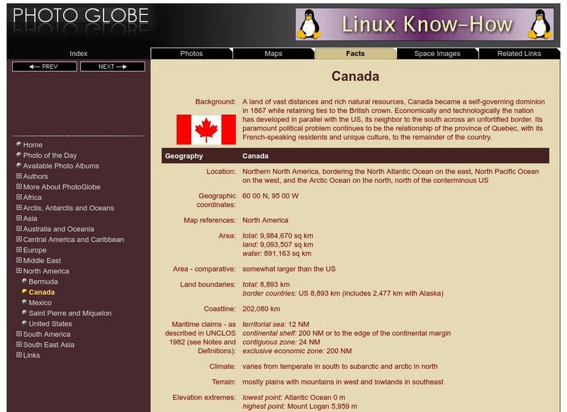
Photo Globe: Canada
Presents many general country facts about Canada in a well organized chart form. Content includes: geography, people, government, economy, communications, transportation, military, and transnational issues. This site is enriched by links...
Hans Lohninger
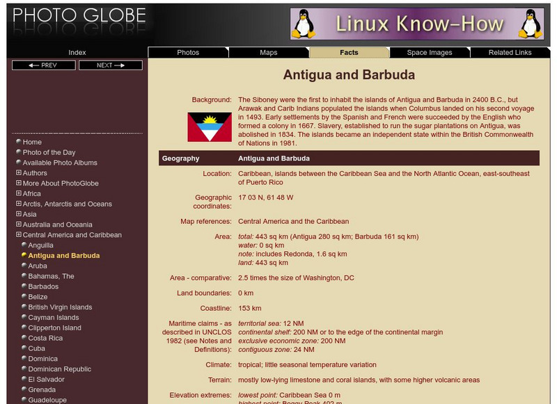
Photo Globe: Antigua and Barbuda
Provides a brief overview and many general country facts and statistics about Antigua and Barbuda in a well organized chart form. This site is enriched by links to maps and an image of its flag.
NOAA
Noaa: Ngdc: Images, Visualizing Data
The National Geophysical Data Center has transformed extensive ocean research into colorful video, 3D maps, charts posters and more! This site starts off with a film clip of a dive into the Marianas trench and then lead you to other...
ClassFlow
Class Flow: Maps and Globes
[Free Registration/Login Required] This flipchart reviews map and globe features. The seven continents, four oceans, and city-county-state-country relationships are also explained. Student assessment on directions is included.
SMART Technologies
Smart: Final Project Map Skills
This lessons explores the different ways we can view our world along with the different parts of a map or globe.
Other
Reach the World: Geogames Build Planet Earth
Practice your mapping skills with Build Planet Earth! This animated 3D globe challenges players to locate the Poles, continents, countries, and cities. Colorful graphics and sound effects as well as a teacher's lesson plan are included.
National Geographic
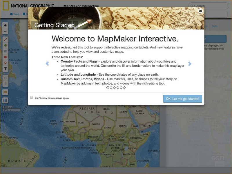
National Geographic: Mapmaker Interactive
Interactive map maker in which students can manipulate world maps adding layers and data with multiple sources of information.
Geographyiq
Geography Iq
Detailed geographical information on any country is available at this site. Within the World Map section, you can get facts and figures about each country's geography, demographics, government, political system, flags, historical and...
Other popular searches
- Maps and Globes
- Comparing Maps and Globes
- Reading Maps and Globes
- Communities Maps and Globes
- Examining Maps and Globes
- Using Maps and Globes
- Free Maps and Globes
- Maps and Globes Activity
- Maps and Globes Migration
- Maps, Globes and Atlases
- Maps Skills and Globes
- Globes and Maps Continents


