Curated OER
Lesson on GPS
Students investigate global positioning systems. In this technology and mapping lesson, students view a PowerPoint presentation in which they identify the features of a GPS, state its uses, and follow steps to find a waypoint.
Curated OER
Boy Scout Merit Badge: Surveying
In this boy scout merit badge: surveying worksheet, 8th graders research the websites listed to answer 8 detailed questions about first aid, surveying projects, GPS, the impact of surveying and careers.
Curated OER
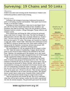
Surveying: 19 Chains and 50 Links
Through an interdisciplinary lesson, emerging engineers explore the history of surveying systems. After discussing various systems, they perform surveys on printable pages. Using their geometric skills, they physically stake out plots...
Curated OER
GPS Art
Middle schoolers design their own logo or picture and use a handheld GPS receiver to map it out. They write out a word or graphic on a field or playground, walk the path, and log GPS data. The results display their "art" on their GPS...
Curated OER
GPS Ecosystem (Ecotone) Scavenger Hunt
Students describe the characteristics of an ecotone. In this ecotone lesson, students pick out their area and describe the visual appearance, conditions, ecosystem, biodiversity, predators, prey, and trees in their ecotone. They create a...
Curated OER
Mapping My Community
Ninth graders are introduced to GPS technology. They complete fieldwork as they visit a specific area of their community to identify and map types of land use in the surveyed area. They use the collected data to create a digital map.
Curated OER
I Know Where You Are!
Students study what a GPS is and use it to challenge themselves and find positions on a map. For this investigative lesson students find various points on a map using a GPS system and answer questions on a worksheet.
Curated OER
19 Chains and 50 Links
Learners investigate surveys as it relates to chains and links. In this math lesson, students relate math to history and surveys done above, below and on the earths' surface. They review vocabulary pertaining to this lesson before moving...
Curated OER
Caching in Pine's Treasures
Students compile image information about the Junior High School using a digital camera. They survey the area making observations and recording them with the help of portable technology and transferring the data to a spreadsheet and...
Curated OER
Mapping Deep-Sea Habitat
Students create a two-dimensional topographic map and a 3-D model of landforms. In this creative lesson students create 2 and 3-D objects and learn how to interpret the data from these things.
Curated OER
Floodplains in the field (with GIS)
Students measure a topographic and geologic cross-section across a floodplain by simple surveying and auguring techniques. They consider the spatial context of the field observations, use GPS measurements, and desktop GIS analyses.
Curated OER
Can You Dig It?
Learners investigate a fossil site and diagram a site map. They role play as paleontologists.
Aurora Trust
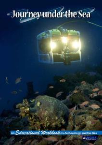
Journey Under the Sea
Discover the interesting world of maritime archaeology and explorations under the sea with this nice set of worksheets, which cover such topics as search tools and techniques of underwater archaeology, carbon dating, vessel types, and...
Curated OER
Geography Awareness Week: Practice Mapping Skills
You won't get lost, after learning map skills during Geography Awareness Week.
Curated OER
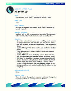
All Shook Up
Students measure movements in the Earth's crust due to seismic activity. Students calculate the amount of displacement in horizontal and vertical direction due to an earthquake.
Curated OER
All Shook Up
Pupils calculate the amount of displacement after an earthquake. In this seismic event lesson plan students research the Internet, and fill out a CORS data sheet.
Curated OER
Exploring channel change using historic maps and field investigation
Students map historic flood induced channel change in the Gila River. In this investigative lesson students create a hypothesis and test it through field investigations.


