Curated OER
Educational Technology Clearinghouse: Maps Etc: Arizona, 1920
A map of Arizona from 1920 showing the State capital of Phoenix, counties and county seats, major cities and towns, railroad lines, mountains, rivers, and the Grand Canyon.
Curated OER
Educational Technology Clearinghouse: Maps Etc: Arizona, 1920
A map of Arizona from 1920 showing the State capital of Phoenix, counties and county seats, major cities and towns, railroad lines, mountains, mesas and plateaus, rivers, and the Grand Canyon.
Curated OER
Educational Technology Clearinghouse: Maps Etc: Arizona, 1919
A map of Arizona from 1919 showing the State capital of Phoenix, counties and county seats, major cities and towns, railroad lines, Indian reservations, mountains, rivers, and the Grand Canyon.
Curated OER
Educational Technology Clearinghouse: Maps Etc: Arizona , 1920
A map of Arizona from 1920 showing the State capital of Phoenix, counties and county seats, major cities and towns, railroad lines, mountains, mesas and plateaus, rivers, and the Grand Canyon. A grid reference in the margins of the map...
Curated OER
Educational Technology Clearinghouse: Maps Etc: Arizona, 1904
A map of Arizona from 1904 showing the State capital of Phoenix, major cities and towns, railroad lines, Indian reservations, mountains, rivers, and the Grand Canyon. The map notes the area in square miles (112.920), number of counties...
Curated OER
Educational Technology Clearinghouse: Maps Etc: Arizona, 1914
A map of Arizona from 1914 showing the State capital of Phoenix, counties and county seats, major cities and towns, Indian reservations, railroad lines, mountains, mesas and plateaus, rivers, and the Grand Canyon. A grid reference at the...
Curated OER
Educational Technology Clearinghouse: Maps Etc: The Arizona Territory, 1892
A map of Arizona from 1892 showing the Territory capital of Phoenix, counties and county seats, major cities and towns, railroad lines, mountains, plateaus, rivers, and the Grand Canyon.
Curated OER
Wikipedia: National Historic Landmarks in Arizona: El Tovar Hotel
Classic lodge at South Rim of Grand Canyon.
PBS
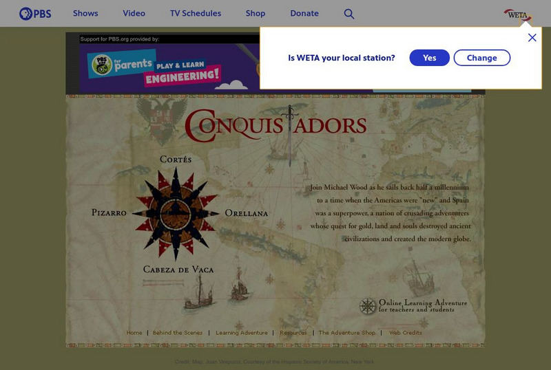
Pbs: The Conquistadors
A huge website that provides a virtual field trip exploring the Spanish adventurers who quested for gold and land in the New World. The site has information on Pizarro, Orellana, Cabeza de Vaca, Cortes as well as extensive information...
Other
Native Peoples of North America: Agricultural Societies in Pre European Times
A good introduction to the three major Native American cultures in the Southwest prior to European contact. Find information about the Mogollon, Anasazi, and Hohokam cultures. Read how they influenced each other, and what was unique...
Other
The Colorado River
Features basic information on the Colorado River including a map of the states it flows through.
Curated OER
National Park Service: Science in Yellowstone National Park
Yellowstone National Park was established in 1872 and "is one of the last, nearly intact, natural ecosystems in the temperate zone of Earth. The Science Learning Centre provides information on numerous topics that include; biological and...
Other popular searches
- Wind Erosion Grand Canyon
- The Grand Canyon
- Geology and Grand Canyon
- Erosion Grand Canyon
- Art Grand Canyon
- Grand Canyon Geography
- Explorers Grand Canyon
- Erosion in Grand Canyon
- Grand Canyon of Pennsylvania
- Grand Canyon Activity
- Mammals of the Grand Canyon
- The Grand Canyon Worksheet


