Hi, what do you want to do?
United Nations
United Nations: Cartographic Section: Great Lakes Region (Map 1) [Pdf]
The United Nations offers this very clear map of part of the Great Lakes region in eastern Africa. The lakes, of course, are labeled, as are the rivers, major cities, and countries.
Other
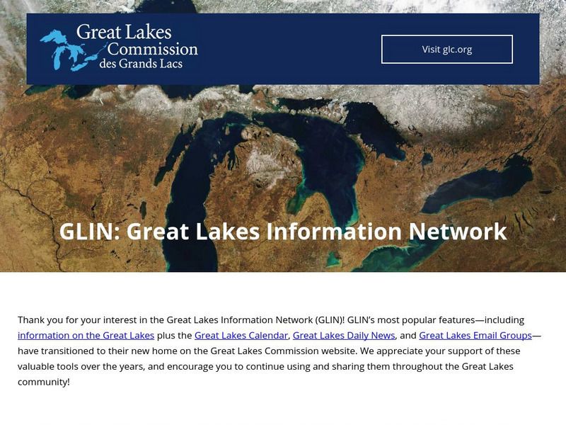
Great Lakes Information Network
The Great Lakes Science Center provides research on various topics concerning the Great Lake environment such as fish advisories, contaminants, threatened species, low water levels, and sustainable development of the Lakes.
Other
Wisconsin Historical Society: Wisconsin's Great Lakes Shipwrecks
This dramatic interactive delves into the depths to explore the many shipwrecks which have taken place off the coast of Michigan's Great Lakes. Each of the four main topics opens into additional extensive and detailed information. Click...
Other
Current Great Lakes St. Lawrence Water Levels
This page has a map showing the Great Lakes and the gauging stations located on the various lakes.
University of Michigan
University of Michigan: The Great Lakes: An Environmental History [Pdf]
The University of Michigan provides a PowerPoint presentation on the environmental history of the Great Lakes. Provides aerial shots of the Great Lakes from a satellite, various geographical maps over the Great Lake Region, and pictures...
University of Regina (Canada)
University of Regina: Math Central: Map of First Nations Peoples Pre Contact Culture Areas
A color coded map of North America which contains the regions inhabited by different aboriginal nations.
Curated OER
University of Texas: Kenya: Relief Map
A relief map of Ethiopia clearly showing the Great Rift Valley, mountains, and plains. Clicking on the map will enlarge it. From the Perry Castaneda Collection.
Curated OER
University of Texas: Central Africa: Relief Map
A good relief map of the countries of Central Africa showing mountains, lakes, and valleys. Clicking on the map will enlarge it. From the Perry Castaneda Collection.
Lonely Planet
Lonely planet.com: Color Map of Nicaragua
This site has a great full color map of Nicaragua complete with cities, rivers and lakes detailed. Or you can choose the "zoom out" feature and see all of Central America and the Caribbean.
Curated OER
Map of Great Lakes Tribes. Click for Larger Image.
This site provides information on the Indians that inhabited the Great Lakes Region upon settlement by Europeans.
Ohio History Central
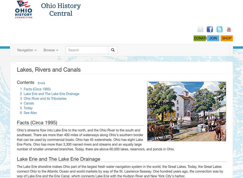
Ohio History Central: Lakes, Rives, & Canals
This site provides a brief introduction to the river system and canals of Ohio. Includes a history of the canal system, details and maps of the drainage throughout the state, and how the river systems are used today.
Curated OER
Etc: Maps Etc: Automobile Routes of the Great Lake Vicinity, 1920
A map from the 1920 Automobile Club of Rochester showing automobile routes in the Great Lakes Region, around western Lake Ontario, and the Canadian portion of Lake St. Clair and southern Lake Huron. The map shows route numbers, mileages...
Curated OER
Educational Technology Clearinghouse: Maps Etc: Great Lakes Region, 1906
A map from 1906 of the Great Lakes Region, showing major cities and ports, canals (including the Erie Canal), rivers, and steamship routes across the lakes, including routes of the St. Lawrence and Lake Champlain.
Curated OER
Educational Technology Clearinghouse: Maps Etc: The Great Lakes, 1812
A map of the Great Lakes region at the outbreak of the War of 1812, showing the sites of initial English successes, including Fort Mackinaw, Fort Dearborn (Chicago), and Detroit, which was surrendered to the English by General Hull.
Curated OER
Clip Art by Phillip Martin: The Great Lakes
Map highlighting the Great Lakes of North America.
Curated OER
Etc: Settlement Along Upper Mississippi and Around Great Lakes, 1840 1850
Showing area along the Upper Mississippi and around the Great Lakes.
NOAA
Noaa: Ngdc: Images, Visualizing Data
The National Geophysical Data Center has transformed extensive ocean research into colorful video, 3D maps, charts posters and more! This site starts off with a film clip of a dive into the Marianas trench and then lead you to other...
Curated OER
Educational Technology Clearinghouse: Maps Etc: Lake Agassiz, 1911
A map of the Laurentide era glacial Lake Agassiz in the present day region of the northern United States and southern Saskatchewan, Manitoba, and Ontario. The lake was present during the last glacial period, and covers an area larger...
Curated OER
Educational Technology Clearinghouse: Maps Etc: Ontario, 1911
A map from 1911 of the southern part of Ontario from the Algoma and Nipissing districts south to the Great Lakes and St. Lawrence River. The map shows district and county boundaries, major cities and towns, forest reserves, the Algonquin...
Curated OER
Educational Technology Clearinghouse: Maps Etc: Northern Campaign, 1812 1814
A map of the Great Lakes region of North America showing the area of conflict during the northern campaign of the War of 1812, from Lake Michigan east to Lake Champlain and the Hudson River. The map shows the routes of Hull, Wilkinson,...
Curated OER
Educational Technology Clearinghouse: Maps Etc: Ontario, 1903
A map from 1903 of the Ontario province south of Lake Nipissing and the Ottawa and French Rivers. The map shows county boundaries, major cities and towns, railways, rivers, lakes, and islands of the Great Lakes.
Curated OER
Etc: Maps Etc: Canada, Railways and Economic Regions, 1911
A map from 1911 of Canada showing the principal economic regions, railway network, and shipping routes in the Great Lakes and Hudson Bay. The map is color-coded to show the industrial districts, agricultural lands, grazing lands, and...
Curated OER
Educational Technology Clearinghouse: Maps Etc: Settled Ontario, 1920
A map from 1920 showing the most populous portions of the Canadian provinces of Ontario and Quebec along the Great Lakes and St. Lawrence River. The map shows major cities and towns, railways, lakes, and rivers in the area.
Curated OER
Educational Technology Clearinghouse: Maps Etc: Mississippi Valley, 1672 1673
A facsimile from the collection of Francis Parkman (1865) of an early map of the Mississippi River Valley from the Great Lakes to the Gulf of Mexico, showing the explorations of Father Jacques Marquette (1672-1673). The map shows Lac de...


![United Nations: Cartographic Section: Great Lakes Region (Map 1) [Pdf] Graphic United Nations: Cartographic Section: Great Lakes Region (Map 1) [Pdf] Graphic](https://static.lp.lexp.cloud/images/attachment_defaults/resource/large/FPO-knovation.png)


