Curated OER
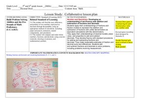
Decimals: Collaborative Lesson
Pupils explore mathematics by participating in a group activity. In this number value lesson, students identify the uses for decimals and how to best estimate whole numbers based on decimals and fractions. Pupils collaborate with...
Curated OER
Coordinating Coordinates
Third graders explore coordinate pairs and coordinate grids. They use a grid on which each letter of the alphabet is assigned a coordinate pair, 3rd graders decipher a coded message. Pupils compare coordinate pairs on a coordinate grid...
Curated OER
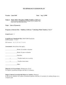
Lines of Symmetry
First graders create symmetrical designs using a computer program. For this lines of symmetry lesson, 1st graders review their symmetrical designs and discuss other ways symmetrical designs can be made. Students work in pairs...
Curated OER
Hurricane Frequency: Identifying Regions with Similar Numbers of Hurricanes
For this earth science worksheet, students answer 6 questions about the hurricane map and data provided. They create a data table based on the information provided on the map.
Curated OER
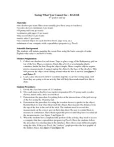
Seeing What You Cannot See--RADAR
Student imitate mapping the ocean floor using the basic concepts of radar. Then they explain what radar is and how it workds. All of their measurements are recorded on a data sheet. Then the data is entered into a spreadsheet program. A...
Curated OER
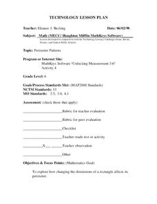
Perimeter Patterns
Sixth graders calculate perimeter of rectangles with different dimensions. In this perimeter lesson, 6th graders define length, width and perimeter. Students complete a perimeter activity using a web tool to change the...
Curated OER
My Own Private Idaho; Using Social Studies to Explore Idaho
Students engage in several activities to explore Idaho and Social Studies themes. Using an variety of media, students become familiar with Idaho's geography and geology.
Curated OER
Park Brochures
Sixth graders investigate natural environments by researching national parks. In this brochure making lesson, 6th graders explore a specific national park and research it's information by utilizing the web. Students create travel...
Curated OER
Dot to Dot: Patterns in the Night Sky
Sixth graders are introduced to several major constellations and locate them in the night sky. They graph the constellations on grid paper and work in groups to research common myths and stories associated with specific constellations.
Curated OER
Latitude on World Maps
Sixth graders examine the purposes of maps. In this Geography lesson, 6th graders practice using latitude and longitude on a map.
Curated OER
The Seven Continents Scavenger Hunt
Who doesn't enjoy an engaging scavenger hunt? Here, scholars listen to, and discuss, the informative text, Where is my Continent? by Robin Nelson. They then explore the seven continents and four major oceans using...
University of Colorado
Are All Asteroids' Surfaces the Same Age?
Did you know scientists can tell the age of an asteroid by looking closely at its craters? This final instructional activity of a six-part series focuses on two asteroids, Gaspra and Ida, in order to demonstrate the concept of dating...
Curated OER
Robot Cartography
Students identify points plotted on the coordinate plane. In this geometry lesson, students learn to read a map using concepts of a coordinate plane grid. They find the path given a map to tell them where to go.
Curated OER
Geological Forces and Topography
Learners discuss and research the Earth's geological processes. In this geology lesson, students study maps of Utah and the United States to learn about geological features. Learners then complete the research cards for each area of...
Curated OER
Fly on the Ceiling
Fourth graders complete activities to increase their understanding of coordinates. They listen to Julie Glass' book, The Fly on the Ceiling, before playing fly tic-tac-toe and Swat the Flies, in which they use ordered pairs to state the...
Curated OER
Native Americans and Topography at Rose Bay
Students visit a wetland ecosystem. While they are there, students explore how to read topography maps of Rose Bay.
Curated OER
Landforms
Students begin their examination of landforms. Using a map, they locate and identify the major landforms on Earth. They discuss how landforms affect the lifestyle of the community and determine which goods and services the community...
Curated OER
Introduction to Archaeology
Students view a PowerPoint presentation called, Archaeological Terms then discuss the job of an archaeologist and new vocabulary. They view the teacher made "artifact grid" and photograph the grid from different angles. They work in...
Curated OER
Arctic Microclimates
Learners identify, measure, and average micro-climatic temperatures in a particular region. They draw a small-scale map of an area to be sampled (classroom, playground, park, backyard) and identify potential locations for...
Curated OER
School Word Search
In this school activity worksheet, students use the 20 words in the word bank to locate and identify them in the word search puzzle.
Curated OER
"Hard" Data from Space
Students use satellite images to analyze development patterns within Baltimore City. They prepare a land cover map for Baltimore indicating the prevalence of impervious surfaces and explore how these patterns affect water pollution.
Curated OER
Biodiversity Memory Match Up
Learners are introduced to the animals of Asia. In this biodiversity lesson, students use interactive maps to identify animals from Asia, then play a memory game to reinforce the information.
Curated OER
Plotting Points
In this coordinate pairs worksheet, students learn to plot points on a graph. Students study the examples and then complete 20 questions. This is intended as an online activity, but may be completed with pencil and paper.
Curated OER
Lost Roman Treasure
Young scholars simulate what it would be like to be archeologists. They evaluate a quadrant area of a lost Roman treasure map. They generate their findings on the map into specific categorizes.
