Curated OER
Why Archaeologists Dig Square Holes
Students examine how archaeologists establish and maintain the context of artifacts. They interpret a plan view of an archaeological site and explain the importance of the grid system.
Baylor College
There's Something in the Air
Clever! In order to compare indoor and outdoor dispersal rates for the movement of gases and particles through air, collaborators will participate in a classroom experiment. Set up a circular grid and set students on lines that are...
Curated OER
Metrics And Measurements
Students engage in a study of measuring distances between geographical locations on a map. They are able to define and use the map scale in conjunction with the metric system. For this lesson they make their own maps and measure the...
Curated OER
Linear Graphs and Equations 5.1
In these identifying coordinates on a grid, linear graphs, and equations worksheets, 6th graders draw the shapes and letter, complete a table and use it to draw a graph, calculate gradients of lines, determine equations of lines, solve...
Department of Education (Ireland)
Assertive Communication
Assertive communication is an acquired skill. Teaching young people to ask for what they need and to believe that they have a right to ask is at the core of a unit on assertive communication. Over the course of the unit, middle and high...
Curated OER
Latitude on World Maps - World Map Activity 2
Learners explore the concept of latitude. In this geography activity, students discover the global grid system and complete a map activity which require them to record the latitude of various cities in the world.
Virginia Department of Education
Greenhouse Gas Modeling Activity
Why are greenhouse gases called greenhouse gases? Young Earth scientists learn about greenhouse gases though experimentation in the second installment of a 3-part series. They use lamps to model radiant energy as well...
Curated OER
Searching the Attic
Students conduct field research, including the use of a grid system, in order to discover important or interesting family artifacts.They map discoveries of important artifacts on a grid map in order to track and better analyze...
Curated OER
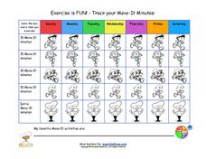
Exercise is Fun! - Track Your Move-It Minutes
Get your class up and moving with a fun exercise tracking chart. Kids will be able to see just how much exercise they get in a single week as they color in the grid to indicate how much they moved each day. The grid provides five boxes...
Curated OER
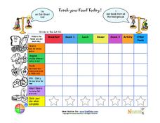
Track Your Food Today
A colorful chart to record what one eats over the course of a day. The grid is broken down to meal times and five food groups.
Colorful
There are description of each food group
Pictures of foods for each food group
Curated OER
Solar System Distance Activity
Learners examine the distances between the Sun, planets, and smaller objects in the Solar System. They design a model using beads that shows the scale distances of the Solar System using astronomical units converted into a 10 centimeter...
Curated OER
Algebraic Processes And Its Connections To Geometry
Youngsters explore number patterns within a Hundreds Chart. They discover six specific patterns from six teacher-directed rules in cooperative groups and describe in words ONE of the three patterns in their Learning Logs. They prove for...
Curated OER
Tuck Everlasting
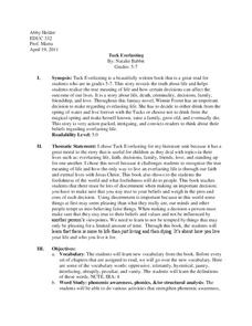
Clearly written as an assignment for a higher-level education class, this formal lesson plan contains some fun and well-researched strategies for teaching the novel Tuck Everlasting by Natalie Babbitt. Among the best ideas...
Curated OER
Point Comparisons
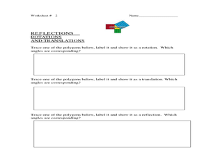
Young geometers investigate two-dimensional figures using coordinate grids. They identify polygons and draw examples of their reflection, rotation, and translation on a coordinate grid. And they complete a worksheet practicing examples...
Royal Society of Chemistry
Born-Haber Cycle: NaCl
Max Born and Fritz Haber developed the Born-Haber cycle in 1916, which is used for measuring enthalpy that otherwise couldn't be measured. Young scientists solve four matching puzzles using their knowledge of the stages, standard...
National Security Agency
What’s Your Coordinate?
Your middle schoolers will show what they know with their bodies when they become the coordinate plane in this conceptual development unit. Starting with the characteristics of the coordinate plane, learners develop their skills by...
University of Colorado
Are All Asteroids' Surfaces the Same Age?
There are more than 600,000 asteroids in our solar system. Pupils analyze images of two asteroids in order to determine if they are the same age. They count craters for each asteroid and compare numbers.
Curated OER
Rivers And Capitals
Students become familiar with the use of GIS for research and become aware of the importance of rivers to cities. They also analyze the placement of cities and learn the names of rivers in the United States.
Curated OER
Indiana Tornado Project
Learners become familiar with the use of GIS for research, natural phenomena in Indiana, and analyzing collected information.
Curated OER
Solutions, Solutions, Could it Be?
Learners graph and solve linear system of equations. In this algebra lesson, students use algebraic and graphing methods to solve their systems. They find the point of intersection for their solution and draw inference from their data.
Curated OER
Dough Lake Topology
High schoolers practice coordinates and measurements, develop 2D, 3D topological map, construct grid with string on real surface, establish "level" fixed point for measurements, take and record data points of elevation, and enter data on...
Curated OER
X Marks the Spot
Fourth graders use games and puzzles to explore co-ordinate systems and their uses. Students are given the opportunity to invent their own systems by locating counters on a sheet of paper and by finding the dead center of a set of objects.
Curated OER
Concept: Points on a Grid
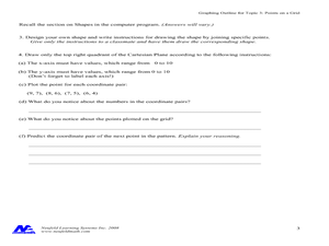
In this coordinate grid graphing worksheet, students play a game of Battleship on the computer. They answer 21 questions about the coordinate grid and graphing.
Curated OER
Traveling Through the Solar System
Students use calculator and non-calculator methods for analyzing data. They apply data collection and analysis in a study of mass and weight. Students enhance and apply the concept of line of best fit. They master graphing in a plane,...
Other popular searches
- Global Grid System
- Grid System Drawing
- Mapping Grid System
- Grid System Art
- Drawing With a Grid System
- Texas Grid System
- Grid System Worksheets
- Map Features Grid Systems
- Map Features "Grid Systems
- Map Features "Grid Systems"
- Alphanumeric Grid Systems


