Hi, what do you want to do?
Curated OER
Hernando de Soto Explores Florida
Print this resource or save it to your desk top. It contains five activities and eleven vocabulary words related to Hernando de Soto and his exploration of Florida. Each activity provides targeted skills practice to prime learners for a...
Curated OER
Hernando De Soto's Trip Through South Carolina
Fourth graders become familiar with the explorations of Hernando DeSoto. In this DeSoto lesson, 4th graders recognize the routes and territories of DeSoto's explorations. Students use primary and secondary sources and research to answer...
Curated OER
U.S. History: de Soto's Alternate Route
Eighth graders examine various maps associated with Hernando de Soto's expedition. By comparing their textbook maps with newer maps, they answer a battery of focus questions. Using Microsoft Word, 8th graders answer the questions...
Curated OER
de Soto's Expedition: An Alternate Route
Eighth graders interpret historical evidence presented in primary and secondary resources. In this Exploration Age instructional activity, 8th graders compare historical maps with new maps focusing on the route of Hernado de Soto.
Curated OER
Reading Comprehension: Louisiana
In this reading comprehension worksheet, students read a 2-page article regarding Louisiana and respond to 10 true or false questions regarding the selection about the state.
Other
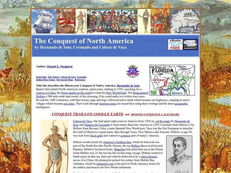
The Conquest of North America by Hernando De Soto, Coronado and Cabeza De Vaca
Describes the conquest of North America in the 1500s by the explorers Hernando de Soto, Vasquez de Coronado, and Cabeza de Vaca. The text has many embedded links to maps showing the routes they traveled as well as to additional information.
Other
American Journeys: Map of the Spanish Entrada Into North America [Pdf]
Map showing the routes taken by fourteen Spanish explorers in the Americas between 1509 and 1543.
Curated OER
Educational Technology Clearinghouse: Maps Etc: Route of De Soto, 1539 1542
A map of the supposed route of Hernando de Soto's expedition taken from Tampa Bay (1539) to the Mississippi River, first reached in 1541, and the site of his death in 1542. The map shows the winter quarters of the expedition in northern...
Curated OER
Educational Technology Clearinghouse: Maps Etc: The Route of De Soto, 1539 1542
A map of the supposed route of Hernando de Soto's expedition from Tampa Bay (1539) to the Mississippi River, first reached in 1541, and the site of his death in 1542. This map, from 1907, shows a route that has been disputed in later years.
Curated OER
Etc: De Soto's March From Tampa Bay to Mississippi, 1539 1542
A map of the route of Hernando de Soto's expedition taken from Tampa Bay (1539) to the Mississippi River, first reached in 1541, and the site of his death in 1542. This map, from 1891, shows a route that has been disputed in later years.
State of Florida
Florida Historical Resources: 16th Century Settlements in Florida
Follow the arrival of Europeans to Florida in the1500's and how the existing tribes of Native Americans were negatively affected.
Curated OER
Etc: Early Voyages of Spaniards in the West Indies, 1512 1580
A map of the Gulf of Mexico and Caribbean showing the voyage routes of the early European explorers in the region between 1512 and 1580. The map shows the routes of Alonzo de Ojeda to Darien Colombia, Balboa to the Pacific, Juan Ponce de...
Curated OER
Etc: Routes of Spanish Explorers, 1513 1565
A map of southern North America, Florida, and the Gulf of Mexico east the Mississippi Delta showing the routes of the early Spanish explorers Ponce de Leon (1513), De Narvaez (1528), and Hernando de Soto (1535-1542).


![American Journeys: Map of the Spanish Entrada Into North America [Pdf] Graphic American Journeys: Map of the Spanish Entrada Into North America [Pdf] Graphic](https://static.lp.lexp.cloud/images/attachment_defaults/resource/large/FPO-knovation.png)
