Curated OER
Buddy, Are You Ready?-Preparing for School Emergencies
Students explore natural disasters by reading stories about volcanoes, earthquakes, floods, and hurricanes. They explore safe behaviors in order to understand what to expect in a catastrophe. Students practice safe evacuation procedures...
Curated OER
Weather Watch
Young scholars complete a series of lessons in which they study daily weather patterns and examine extreme weather conditions. They complete activities that range from visual observation of daily weather to building a weather station and...
Curated OER
Troical Atlantic Aerosols
Students explore the effect aerosols have upon he weather and climate. They observe NASA satellite images to explore and draw conclusions about aerosol transport. From studying the images, students track the path of aerosols. They...
NOAA
Earth Origami
After reading a brief history of Carl Skalak's journey on the open waters, scholars make a three-dimensional model of the Earth out of an Origami balloon using a printable decorated as the Earth.
International Technology Education Association
Team Up on the Weather
There's a little bit about every aspect of weather in this trivia game. The lesson resource provides 36 questions and answers pertaining to four different topics related to weather: effects, science, technology, and statistics. Groups...
Curated OER
The Magic School Bus Kicks Up a Storm
Students learn along with Ms. Frizzle's class. In this Magic School Bus lesson plan, students discover small updrafts by making wind spirals.
Curated OER
Science: Reading a Compass
Pupils demonstrate how to take bearings using a compass. In pairs, they select objects in the classroom then write down its first initial and bearing. They exchange papers and try to disciver their partner's object.
Curated OER
The Joy of Natural Disasters
Simulate a natural disaster to inspire problem-solving, collaboration, creativity, and teamwork.
Curated OER
Predicting Severe Weather
Students recognize the range and variety of severe weather. They plan for severe weather conditions that they may experience on an immediate and long-term scale and use climate information to make personal choices about where to live and...
Curated OER
Latitude and Longitude: Geography and Geometry!
Second graders use latitude and longitude coordinates to pinpoint an exact location on the map. In this geography lesson, 2nd graders utilize handouts from the Maritime Museum in order to gain practice in finding locations throughout the...
Curated OER
Water to the Max
Students experiment with the angle that yields the greatest distance of water at constant pressure. In this experiment with the angle that yields the greatest distance of water at constant pressure activity, students shoot water...
Curated OER
Introduction to the e-Mission Operation Montserrat
Students read and discuss short articles which "brief" them on the coming mission. After they read each of the articles, they discuss the main ideas and the requirements for mission training. This is an introductory lesson to a...
Curated OER
From Where to Where?
Students find locations based upon their latitude and longitude coordinates. In this latitude and longitude instructional activity, students locate points on a grid and learn how to use an astrolabe.
Curated OER
Weather Watch
Learners examine weather patterns. In this weather lesson, students examine daily weather maps, identify weather patterns, and forecast weather based on the patterns they note.
Curated OER
Subsidence/ Erosion
Young scholars utilize prior knowledge about the Pontchartrain Basin. In this subsidence/erosion lesson plan, students study the chart on land subsidence and must them identify and find solution for problems caused by erosion.
American Geosciences Institute
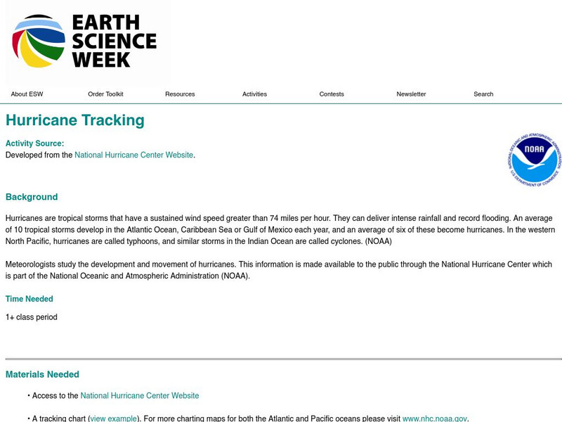
American Geosciences Institute: Earth Science Week: Hurricane Tracking
Students track and plot hurricanes paths for study.
TeachEngineering
Teach Engineering: Hurricane! Saving Lives With Reasoning & Computer Science
Students develop and apply the distance formula and an x-y coordinate plane on a hurricane tracking map, and then use a map scale to determine distance in miles. Then, using MATLAB computer science programming language, students help...
Tramline
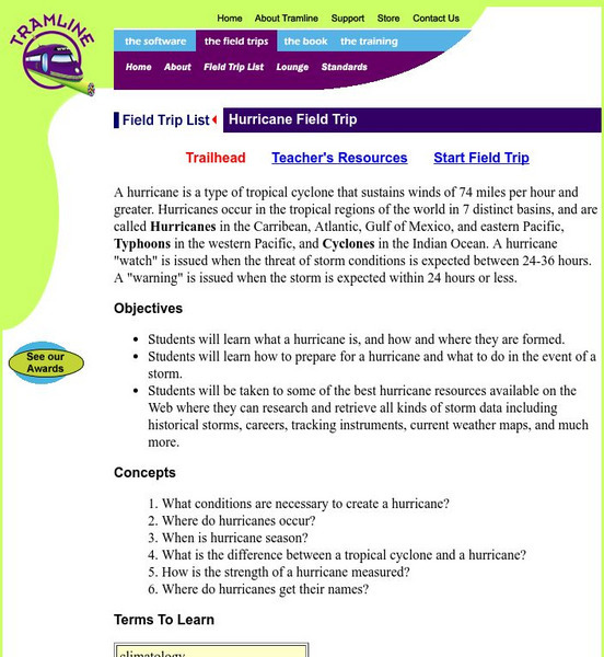
Hurricane Virtual Field Trip
What conditions are necessary to create a hurricane? Where do hurricanes occur? When is hurricane season? What is the difference between a tropical cyclone and a hurricane? How is the strength of a hurricane measured? Where do hurricanes...
University Corporation for Atmospheric Research
Ucar: Tracking Hurricane News
Young scholars read news articles about Hurricane Irene, present information with classmates, and construct a timeline to describe the hurricane's story over time and across geographic area, exploring what happened, how people were...
Dan Satterfield
Dan's Wild Weather Page: Hurricanes
Use this site to find out about hurricanes and how to track them.
Center for Educational Technologies
Exploring the Environment : Severe Weather:hurricanes
Learn about hurricanes by analyzing data and predicting possible new hurricanes. Lots of good background and some extension activities.
Texas Instruments
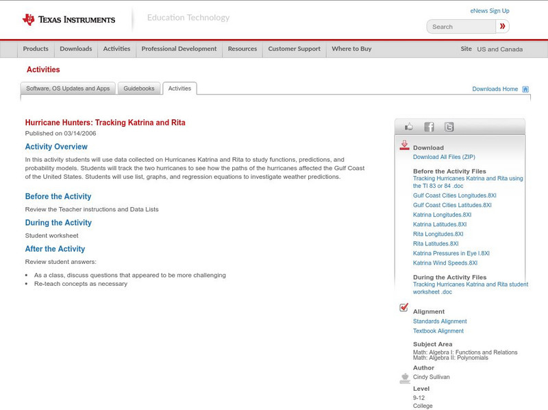
Texas Instruments: Hurricane Hunters: Tracking Katrina and Rita
In this activity students can use data collected on Hurricanes Katrina and Rita to study functions, predictions, and probability models. Students will track the two hurricanes to see how the paths of the hurricanes affected the Gulf...


