Hi, what do you want to do?
NOAA
Earth Origami
After reading a brief history of Carl Skalak's journey on the open waters, scholars make a three-dimensional model of the Earth out of an Origami balloon using a printable decorated as the Earth.
Weather Bug
WeatherBug
Exploring the weather has never been more intriguing! Whether you are looking for a quick glance at the 10-day forecast, trying to figure out if lightning is heading your way, or wondering what the pollen count is, you will find out...
Curated OER
Science: Hurricanes As Heat Engines
Students conduct Internet research to track the path of Hurricane Rita. They record the sea surface temperature of the Gulf of Mexico during and after the hurricane and draw conclusions about how hurricanes extract heat energy from the...
Curated OER
Troical Atlantic Aerosols
Students explore the effect aerosols have upon he weather and climate. They observe NASA satellite images to explore and draw conclusions about aerosol transport. From studying the images, students track the path of aerosols. They...
Curated OER
Introduction to the e-Mission Operation Montserrat
High schoolers read and discuss short articles which "brief" them on the coming mission. After they read each of the articles, they discuss the main ideas and the requirements for mission training. This is an introductory instructional...
Curated OER
Weather Watch
Students complete a series of lessons in which they study daily weather patterns and examine extreme weather conditions. They complete activities that range from visual observation of daily weather to building a weather station and...
Curated OER
Subsidence/ Erosion
Students utilize prior knowledge about the Pontchartrain Basin. For this subsidence/erosion lesson, students study the chart on land subsidence and must them identify and find solution for problems caused by erosion.
Science Education Resource Center at Carleton College
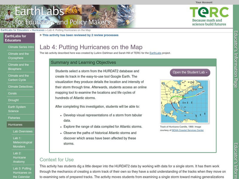
Serc: Lab 4: Putting Hurricanes on the Map
A lab experiment in a series of experiments that explores hurricanes. In this particular lab, students choose a storm through HURDAT data base. After choosing the storm, students use Google Maps, NHC Summary Report and NOAA's online...
Center for Educational Technologies
Exploring the Environment : Severe Weather:hurricanes
Learn about hurricanes by analyzing data and predicting possible new hurricanes. Lots of good background and some extension activities.
Texas Instruments
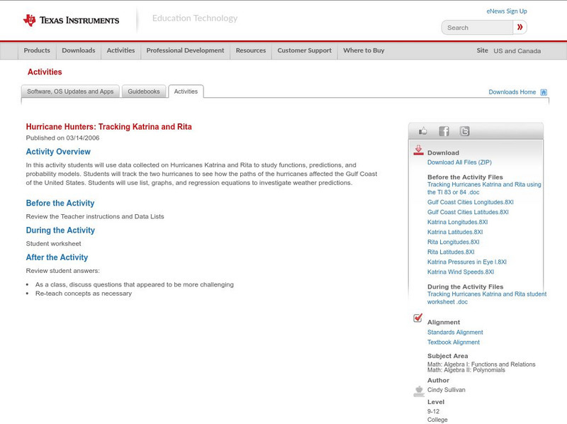
Texas Instruments: Hurricane Hunters: Tracking Katrina and Rita
In this activity students can use data collected on Hurricanes Katrina and Rita to study functions, predictions, and probability models. Students will track the two hurricanes to see how the paths of the hurricanes affected the Gulf...


