Curated OER
Victims of Geography
Students examine the toll taken on New Orleans by Hurricane Katrina. In this current events activity, students visit selected websites to discover details about the geography of the city and the hurricane itself.
Curated OER
Science: Hurricanes As Heat Engines
Students conduct Internet research to track the path of Hurricane Rita. They record the sea surface temperature of the Gulf of Mexico during and after the hurricane and draw conclusions about how hurricanes extract heat energy from the...
Curated OER
Latitude and Longitude: Geography and Geometry!
Second graders use latitude and longitude coordinates to pinpoint an exact location on the map. In this geography lesson, 2nd graders utilize handouts from the Maritime Museum in order to gain practice in finding locations throughout the...
Curated OER
Data Analysis and Measurement: Ahead, Above the Clouds
Learners explore and discuss hurricanes, and examine how meteorologists, weather officers, and NASA researchers use measurement and data analysis to predict severe weather. They plot points on coordinate map, classify hurricanes...
Weather Bug
WeatherBug
Exploring the weather has never been more intriguing! Whether you are looking for a quick glance at the 10-day forecast, trying to figure out if lightning is heading your way, or wondering what the pollen count is, you will find out...
Curated OER
Weather Watch
Learners examine weather patterns. In this weather lesson, students examine daily weather maps, identify weather patterns, and forecast weather based on the patterns they note.
Curated OER
Troical Atlantic Aerosols
Students explore the effect aerosols have upon he weather and climate. They observe NASA satellite images to explore and draw conclusions about aerosol transport. From studying the images, students track the path of aerosols. They...
Curated OER
The Joy of Natural Disasters
Simulate a natural disaster to inspire problem-solving, collaboration, creativity, and teamwork.
Curated OER
Weather Alert
Students become familiar with the effects of weather on humans. In this weather pattern instructional activity, students identify weather patterns and how people can prepare for them. Students complete a weather research sheet.
Curated OER
Subsidence/ Erosion
Young scholars utilize prior knowledge about the Pontchartrain Basin. In this subsidence/erosion lesson plan, students study the chart on land subsidence and must them identify and find solution for problems caused by erosion.
Curated OER
Science: Reading a Compass
Pupils demonstrate how to take bearings using a compass. In pairs, they select objects in the classroom then write down its first initial and bearing. They exchange papers and try to disciver their partner's object.
Middle School Science
Hurricane Unit
In this comprehensive site you will find links to the following topics: parts of the hurricane, naming hurricanes, stages of development, rating hurricanes, online tracking of hurricanes, printable tracking maps, hurricane safety,...
TeachEngineering
Teach Engineering: Hurricane! Saving Lives With Reasoning & Computer Science
Students develop and apply the distance formula and an x-y coordinate plane on a hurricane tracking map, and then use a map scale to determine distance in miles. Then, using MATLAB computer science programming language, students help...
Science Education Resource Center at Carleton College
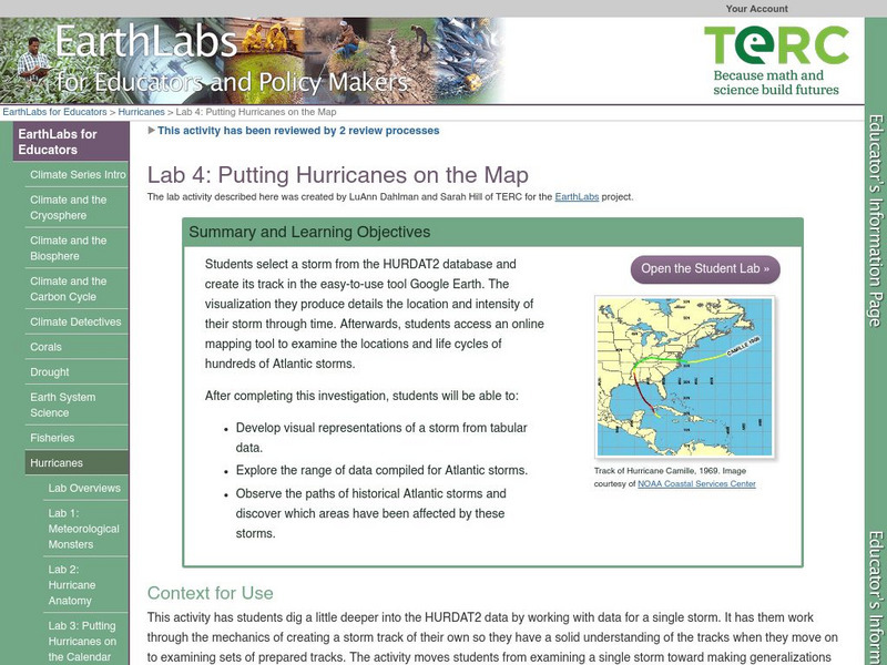
Serc: Lab 4: Putting Hurricanes on the Map
A lab experiment in a series of experiments that explores hurricanes. In this particular lab, students choose a storm through HURDAT data base. After choosing the storm, students use Google Maps, NHC Summary Report and NOAA's online...
Dan Satterfield
Dan's Wild Weather Page: Hurricanes
Use this site to find out about hurricanes and how to track them.
NASA
Nasa: Hurricanes
Learn about hurricanes and how they are created. Features include video animation, the histories of the most devastating hurricanes and topics such as hurricane naming and hurricane study.


