Hi, what do you want to do?
Curated OER
Breaking News English: The Year 2007 to be the Hottest Ever
In this English worksheet, students read "The Year 2007 to be the Hottest Ever," and then respond to 47 fill in the blank, 7 short answer, 20 matching, and 8 true or false questions about the selection.
Curated OER
What a Disaster!
High schoolers identify the causes of major natural disasters in a written response and on a poster. They explain with a written response, on a poster and to peers in an oral presentation, how people adapt to living in an environment...
Curated OER
Dive In: Biology At The Beach
Continue the spirit of summer by studying marine life in your classrooms.
Curated OER
The Magic School Bus Kicks Up a Storm
Students learn along with Ms. Frizzle's class. In this Magic School Bus lesson plan, students discover small updrafts by making wind spirals.
DiscoverE
Emergency Shelter
Save yourself! Groups create a sturdy emergency shelter out of bamboo. The shelter must be large enough to fit one person. Now the most important question: Which member of the group gets to use the shelter in an emergency?
Curated OER
Climate Change Quiz
In these climate change worksheets, students read through the fourteen questions about climate change. Students select the correct answer to complete the quiz.
Curated OER
Clara Barton Biography Reading Comprehension
In this reading comprehension activity, 4th graders will read a 3 page expository passage about Clara Barton, the founder of the American Red Cross. They will then answer 10 questions based on the passage.
Curated OER
Reading Comprehension: Weather
In this comprehension worksheet, students read a selection on the weather, then complete 3 short answer questions related to the selection.
Curated OER
Vocabulary Practice: Complete the Sentences With Words From the Word Pool
In this vocabulary learning exercise, students analyze ten sentences that have missing words. Students complete the sentences with the correct words from the word list.
Curated OER
Discovering the Northwest Territories Through the Five Themes of Geography
Students use the Atlas of Canada to find basic geographical information about the Northwest Territories.
Curated OER
Vocabulary Activity: Lara's Blog
In this vocabulary worksheet, students read a "blog" from the internet, then answer a set of 14 questions regarding the meaning of words in the passage, filling in the blanks.
Curated OER
Crossword
In this crossword activity that focuses on natural disasters, students find the vertical word in the colored squares by filling in the right words in ten lines in the horizontal boxes. Answers appear at the bottom of the activity.
TeachEngineering
Teach Engineering: Hurricanes
Students learn what causes hurricanes and what engineers do to help protect people from destruction caused by hurricane winds and rain. Research and data collection vessels allow for scientists and engineers to model and predict weather...
Geographypods
Geographypods: Hazards and Risk Management: Tropical Storms
This learning module looks at tropical storms. It explains the characteristics of a tropical storm, how they form, how they are predicted, and their frequency. Includes student tasks, graphs, videos, and an interactive animation of...
CNN
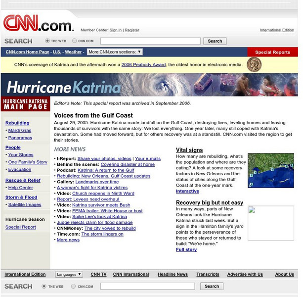
Cnn: Hurricane Katrina
Comprehensive look at Hurricane Katrina. Photos, interactive media, video, news stories, and a lot more can be found on this page.
CNN
Cnn: Hurricane Katrina: Rebuilding
Impressive interactive web page that has a great deal of information on Hurricane Katrina. Information on this site includes graph of population changes, updates on the status of housing, schools, utilities, and the status of New Orleans...
CNN
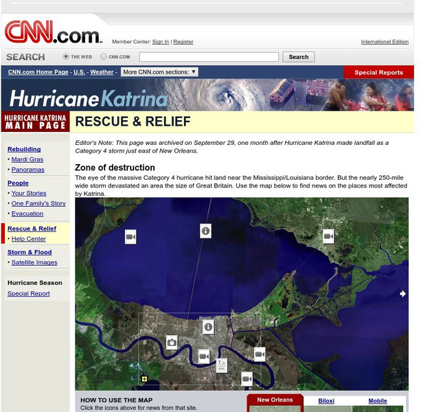
Cnn: Rescue and Relief
Interactive map that takes you to information, news, photos, and videos of Hurricane Katrina. Excellent source.
BBC
Bbc: In Pictures: New Orleans Before and After
Vivid slideshow of photographs of New Orleans during the flooding by Hurricane Katrina and two months later.
Other
Rita and Katrina: How Hurricanes Compare [Pdf]
Interesting map with information comparing Hurricanes Rita and Katrina.
A&E Television
History.com: How Levee Failures Made Hurricane Katrina a Bigger Disaster
By the time Hurricane Katrina made landfall near Buras, Louisiana early on the morning of August 29, 2005, the flooding had already begun. In all, levees and floodwalls in New Orleans and surrounding areas fell in more than 50 locations...
PBS
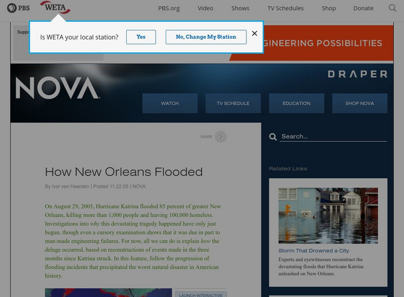
Nova: How New Orleans Flooded
View some before and after pictures of New Orleans to get an idea of the flood damage caused by Hurricane Katrina.
A&E Television
History.com: Hurricane Katrina: 10 Facts About the Deadly Storm and Its Legacy
Hurricane Katrina, the tropical cyclone that struck the Gulf Coast in August 2005, was the third-strongest hurricane to hit the United States in its history at the time. With maximum sustained winds of 175 mph, the storm killed a total...
University of Texas at Austin
University of Texas: Hurricane Rita Maps
Web page with a large quantity of links to information on Hurricane Rita including maps, aerial images, satellite images, data, and much more.
NASA
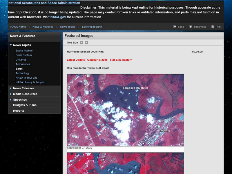
Nasa: Hurricane Season 2005: Rita
Outstanding web site from NASA that details Hurricane Rita and has a plethora of visuals such as interactive maps, aerial photographs, videos, and more. Great source.




![Rita and Katrina: How Hurricanes Compare [Pdf] Graphic Rita and Katrina: How Hurricanes Compare [Pdf] Graphic](https://static.lp.lexp.cloud/images/attachment_defaults/resource/large/FPO-knovation.png)
