Other
Forest Preserve District of Cook County (Illinois): River Steamboats
Information about the invention and development of steamboats as a mode of transportation.
University of Illinois
University of Illinois: Modern American Poetry
This rich source includes a biography of Edgar Lee Masters (1869-1950 CE), a bibliography of secondary sources, his comments on Spoon River Anthology, a look at him as a trial lawyer and critic, as well as external links.
Curated OER
Educational Technology Clearinghouse: Maps Etc: Illinois River System, 1916
A map from 1916 of the Illinois River drainage basin showing the primary and secondary tributaries from Lake Michigan to the Mississippi River.
John Wiley & Sons
John Wiley & Sons: Water Pollution & Treatment
Resource provides information on environmental issues of water pollution with an established learning objective. A case study about the Illinois River is provided explaining the environmental impact of water pollution. Environmental...
University of Illinois
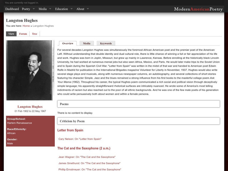
University of Illinois: Modern American Poetry: Langston Hughes
If you are looking for biographical information on Langston Hughes and/or excerpts and reviews of his work, this site is a bonanza! The table of contents makes it easy to click to the section you want.
Curated OER
Wikipedia: National Historic Landmarks in Illinois: Starved Rock
A Sandstone butte overlooking the Illinois River, purportedly the site of a massacre of the Illinois Confederation.
Curated OER
Wikipedia: National Historic Landmarks in Illinois: Old Kaskaskia Village
The best-documented Native American village in the Illinois River Valley.
Yale University
Avalon Project: Treaty of Greenville 1795
This is the text of the Treaty of Greenville which was negotiatied following the Battle of Fallen Timbers, and which ceded most Native American land in Ohio,Indiana and Illinois to the US government.
Curated OER
Etc: Maps Etc: The Upper Mississippi River, 1911
A map from 1911 showing the old and new channels of the Mississippi at the upper rapids, near Fulton, Illinois. The map shows bluffs and river valleys indicating past river channels.
Curated OER
Educational Technology Clearinghouse: Maps Etc: Illinois, 1920
A map from 1920 of Illinois showing the State capital of Springfield, counties and county seats, major cities and towns, railroads, canals, the shoreline of Lake Michigan, and the Mississippi and Ohio rivers. A grid reference in the...
Curated OER
Etc: Maps Etc: Prairie and Woodland in Illinois, 1911
A map from 1911 of Illinois showing the Grand Prairie and the pre-European extent of the woodlands in the area. The map is keyed to show areas of prairie and areas of woodlands, and shows major rivers.
Curated OER
Educational Technology Clearinghouse: Maps Etc: Illinois, 1891
A map from 1891 of Illinois showing the State capital of Springfield, major cities and towns, railroads, canals, the shoreline of Lake Michigan, and the Mississippi and Ohio rivers.
Curated OER
Educational Technology Clearinghouse: Maps Etc: Illinois, 1906
A map from 1906 of Illinois showing the State capital of Springfield, major cities and towns, railroads, canals, the shoreline of Lake Michigan, and the Mississippi and Ohio rivers.
Curated OER
Educational Technology Clearinghouse: Maps Etc: Illinois, 1909
A map from 1909 of Illinois showing the State capital of Springfield, major cities and towns, railroads, canals, the shoreline of Lake Michigan, and the Mississippi and Ohio rivers.
Curated OER
Educational Technology Clearinghouse: Maps Etc: Illinois, 1919
A map from 1919 of Illinois showing the State capital of Springfield, major cities and towns, railroads, canals, the shoreline of Lake Michigan, and the Mississippi and Ohio rivers.
Curated OER
Educational Technology Clearinghouse: Maps Etc: Illinois, 1922
A map from 1922 of Illinois showing the State capital of Springfield, major cities and towns, railroads, canals, the shoreline of Lake Michigan, and the Mississippi and Ohio rivers.
Curated OER
Educational Technology Clearinghouse: Maps Etc: Illinois, 1892
A map from 1892 of Illinois showing the State capital of Springfield, counties and county seats, major cities and towns, railroads, canals, the shoreline of Lake Michigan, and the Mississippi and Ohio rivers.
Curated OER
Educational Technology Clearinghouse: Maps Etc: Illinois, 1901
A map from 1901 of Illinois showing the State capital of Springfield, counties and county seats, major cities and towns, railroads, canals, the shoreline of Lake Michigan, and the Mississippi and Ohio rivers.
Curated OER
Educational Technology Clearinghouse: Maps Etc: Illinois, 1920
A map from 1920 of Illinois showing the State capital of Springfield, counties and county seats, major cities and towns, railroads, canals, the shoreline of Lake Michigan, and the Mississippi and Ohio rivers.
Curated OER
Educational Technology Clearinghouse: Maps Etc: Illinois, 1902
A map from 1902 of Illinois showing the State capital of Springfield, major cities and towns, railroads, canals, the shoreline of Lake Michigan, and the Mississippi and Ohio rivers. An inset map shows the vicinity of Chicago.
Curated OER
Educational Technology Clearinghouse: Maps Etc: Illinois, 1912
A map from 1912 of Illinois showing the State capital of Springfield, counties and county seats, major cities and towns, railroads, canals, lakes and rivers. An inset map shows the vicinity of Chicago. A grid reference in the margins of...
Curated OER
Educational Technology Clearinghouse: Maps Etc: Chicago, Illinois , 1914
A city plan from 1914 of greater Chicago showing the city limits, major streets, railroads and stations, parks, major landmarks, rivers, and the shoreline of Lake Michigan. A grid reference at the bottom of the map lists the principal...
Other
Ozark Mountains
Learn more about the lakes, rivers, caverns, and outdoor activities in the Ozark Mountains.
Curated OER
Educational Technology Clearinghouse: Maps Etc: Mississippi Valley, 1682
A facsimile of a map by Jean Baptiste Louis Franquelin (1682) of the Mississippi River Valley from the Great Lakes to the Gulf of Mexico showing the explorations of Robert LaSalle (Rene-Robert Cavelier, Sieur de la Salle) as far south as...


