Science Education Resource Center at Carleton College
Serc: Shrinking Forest Growing Problem
In this learning module, students will examine images of Brazil's Amazon rainforests that were captured by satellites between 1994-1996, to observe and measure the impact of deforestation over time. A download of a public domain software...
Other
Nesdis: Investigating Oceans: Algae Blooms
Explore how scientists use satellite data to detect and monitor Harmful Algal Blooms (HABs). HABs can be toxic to both humans and marine life. Students will learn how to read and interpret satellite images to better understand HAB events.
Other
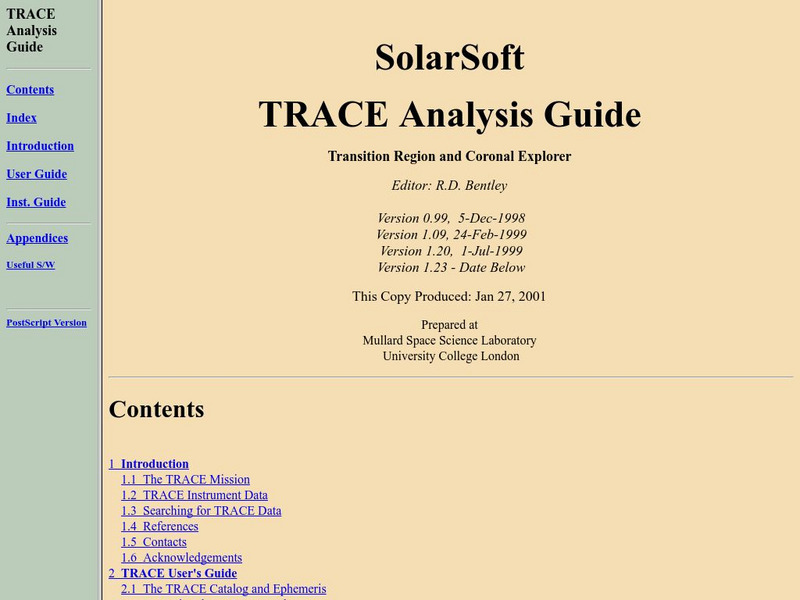
Solar and Astrophysics Lab: Trace Analysis Guide
This site provides a detailed overview of the TRACE (Transition Region and Coronal Explorer) satellite mission, data received, details about the instrumentation, and how to interpret the data.
NASA
Nasa: The Solar and Heliospheric Observatory (Soho)
NASA provides a detailed overview of the Solar and Heliospheric Observatory (SOHO), currently orbiting the sun and gathering information on the sun's structure, composition and dynamics. Site includes images, movies, data, solar lessons,...
Gulf of Maine Research Institute
Gulf of Maine Aquarium: Comparing Oceans: Warm Up to the Gulf Stream
This site features some background information and a satellite image of the Gulf Stream that you can analyze using information also given at the site. There is a link to an activity about the formation of eddies along the Gulf Stream as...
US Geological Survey
U.s. Geological Survey: Land Use History and Changing Landscapes
This resource provides links that overview the history of land use in the United States. Numerous satellite images of different areas are provided.
US Geological Survey
U.s. Geological Survey: Desertification
Read about the destructive process of desertification and how this impacts human beings, how satellite images provide data to document what is happening, and some solutions that have been developed to combat the problem.
NOAA
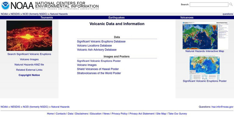
Noaa: Volcano Data at National Geophysical Data Center
National data bases provide information on significant volcanic eruptions, volcano location, volcano images, volcanic ash advisory, and satellite monitoring of volcanoes.
NASA
The Story of Echo the Bat
"Follow Echo the Bat through Arizona and learn about remote sensing and use false-color satellite images to help you find Echo."
NASA
Nasa: Earth Observatory
The purpose of NASA's Earth Observatory is to provide new satellite imagery and scientific information about our home planet to the public. The focus is on Earth's climate and environmental change.
Google
Google Maps
Explore the entire world or your local area through Google's maps, Street View photos, satellite images, and in a 360-degree panorama. Take a virtual field trip to an Arctic town or a Pacific island, a famous landmark, a bird sanctuary,...
NASA
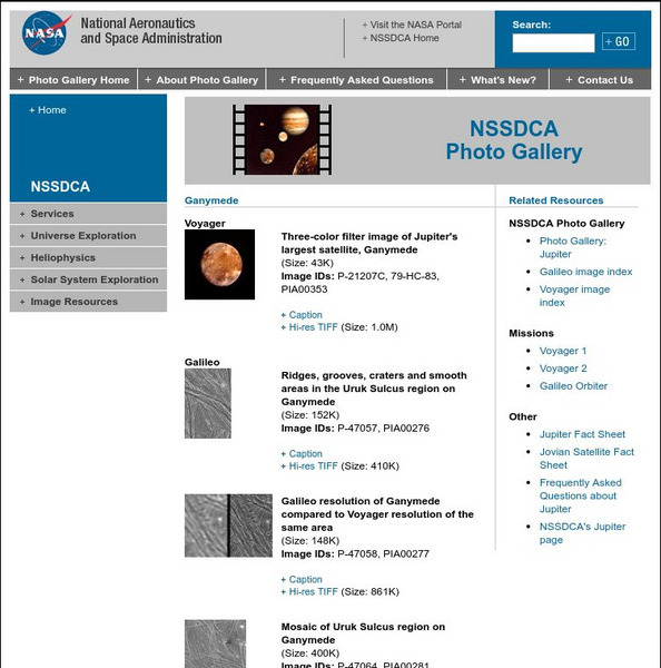
Nasa Space Science Data Archive: Photo Gallery: Ganymede
NASA offers acollection of the best images of Ganymede taken by Voyager and Galileo spacecraft. Includes links to all Voyager and Galileo images and information about the missions. Full captions for each image provides lots of...
NASA
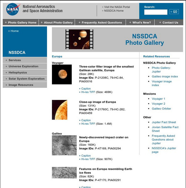
Nasa Space Science Data Archive: Photo Gallery: Europa
This NASA page is a collection of thumbnail images of Europa taken by the Voyager and Galileo missions. Thumbnails link to low and high resolution image files and complete caption files. Images are excellent examples of various surface...
NASA
Nasa Space Science Data Archive: Photo Gallery: Galileo
A well-indexed collection of NASA images taken by the Galileo spacecraft. Images include the spacecraft itself prior to launch and all of the solar system objects this incredible mission has visited.
Science Buddies
Science Buddies: Using the Soho to Determine the Rotation of the Sun
This project shows you how to use images from an orbiting observatory to measure how fast the Sun rotates.
NASA
The Solar Data Analysis Center (Sdac)
The Solar Data Analysis Center at NASA provides all the latest information learned about the sun. Content includes a look at information brought back by several satellites.
NASA
Nasa Jpl: Galileo Legacy Site
This site from NASA provides a detailed overview for the Galileo mission to Jupiter. Content ranges from the mission description to Jupiter images to educational resources.
NASA
Nasa: Cobe: Cosmic Background Explorer
The Cosmic Background Explorer, or COBE, satellite began its space mission in November of 1989. Its task was to measure radiation levels from the early stages of the universe. This site explains the mission goals, COBE's specialized...
Other
Adb: How Remote Sensing Technology Improves Efficiency of Irrigation Systems
With the increase of free satellite data combined with scientific algorithms and cloud computing capacity, developing affordable operational monitoring systems for irrigation management in Asia is now feasible. The use of virtual field...
European Space Agency
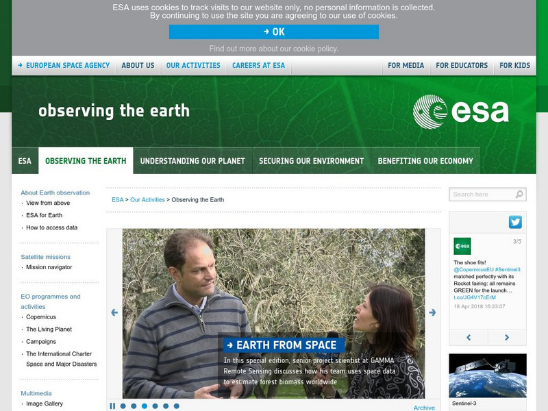
European Space Agency: Observing the Earth
This resource provides information about the Earth, as well as satellite images and videos of what is taking place on the earth currently.
Other
The Space Race
Although the space race was originally a competition between two Cold War foes,it ultimately resulted in many benefits for the people of the Earth. Find information on the Mercury, Gemini, and Apollo, and Soviet space programs,...
NASA
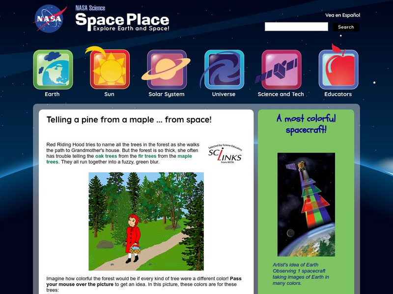
Nasa: The Space Place: Sorting Out Trees in the Forest
This site from the National Aeronautics and Space Administration provides fun information on the subject. "people can do their jobs even better if they have very accurate images of the ground. Oddly enough, the best way to see lots of...
Library of Congress
Loc: Earth as Art: A Landsat Perspective
A really cool site showing Satellite (Landsat 7) images of unique geographical and meteorological phenomena. Images show cloud formations to rainforest devastation.


