Other
Kidstorm: Hurricanes
Get the facts on hurricanes with this detailed information page. This page includes photos, charts and satellite images.
NASA
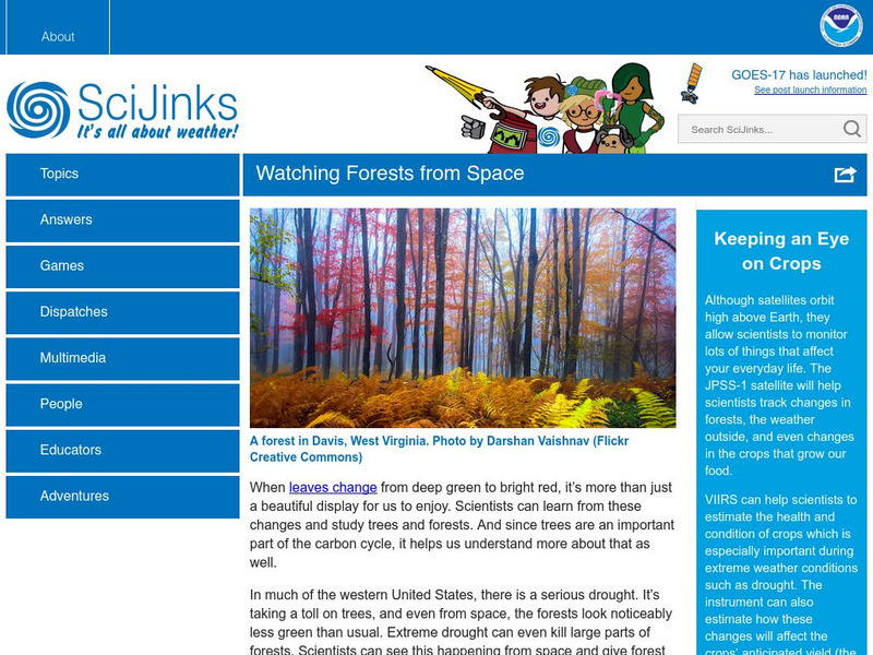
Sci Jinks: Watching Forests From Space
Check out how satellites help scientists study the Earth's forests. What can be learned through these images?
Fourmilab Switzerland
John Walker: Earth and Moon Viewer and Solar System Explorer
This website provides numerous images of the Earth and moon, shown from various vantage points.
Other
Sea Launch
This corporation launches rockets for businesses interested in a cost effective, reliable solution for sending satellites into orbit. Information, images, and detailed specifications can all be found here.
NASA
Nasa Earth Observatory: El Nino's Extended Family Introduction
This article discusses cycle of global weather patterns and its relation to El Nino. Learn how global weather patterns are being tracked by satellites and how scientists are predicting weather patterns up to a year in advance.
Other
Yohkoh Public Outreach Project: Yohkoh Movie Theater
The Yohkoh Public Outreach Project provides images, movies, and tours depicting our nearest star, the Sun. Content includes a wealth of information, learning activities, and much more.
Space Telescope Science Institute
Hubble Site: Hubble Monitors Weather
This site is from Hubblesite which is provided by the National Aeronautics and Space Administration. "What's the weather for Mars and Venus? The Hubble telescope has given astronomers a peak." Site provides images, video as well as...
NASA
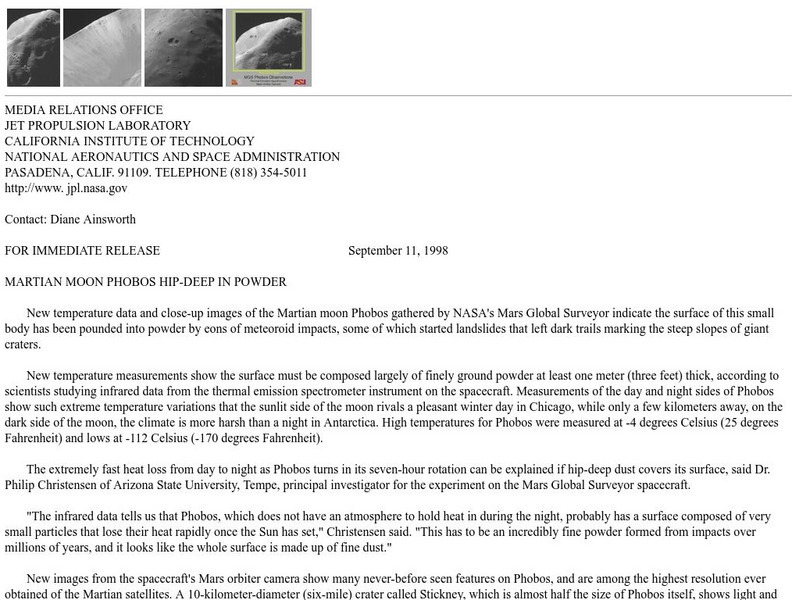
Nasa: Martian Moon Phobos Hip Deep in Powder
This press release from NASA, based on data from the Mars Global Survey/Mars Orbiter Camera describes Mars' moon Phobos. Included are small thumbanil images that link to more detailed GIF files.
NASA
Nasa Space Place: All About the Moon
Learn all about the moon, what makes it glow, and its phases. Includes some exciting images.
Smithsonian Institution
National Air and Space Museum: Looking at Earth
Resource provides information on studying Earth from space. Content includes many satellite images, as well as information gathered for environmental research, and many educational resources.
Science Education Resource Center at Carleton College
Serc: Visualizing Carbon Pathways
This lesson plan introduces students to visualization capabilities available through NASA's Earth Observatory, global map collection, NASA NEO and ImageJ. Students build several animations of satellite data that illustrate carbon...
Smithsonian Institution
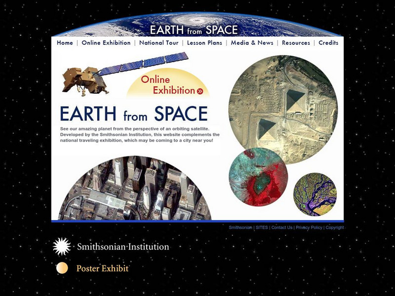
Smithsonian: Earth From Space
You may not have seen the monsoon rains in India or Mount Taranaki in New Zealand, but thanks to the Smithsonian's online exhibit, it's easy to observe the earths natural and man made features. Click on "Online Exhibition" to view and...
NASA
Nasa Space Science Data Archive: Photo Gallery: Jupiter
Images of Jupiter and its moons. Thumbnails lead to small JPEG graphic files. Some link to large, high-resolution TIFF files. Nearly all have a detailed caption file link.
Other
Discover and Learn: The Asteroid Belt
Read a very brief article on the asteroid belt. Includes an image of an asteroid, as well as a chart showing the asteroid belt's location in relation to Jupiter and Mars.
NASA
Nasa: Ganges River Delta
View a satellite image of the Ganges river delta. Click on the image to see a more detailed picture.
Curated OER
Kazakhstan Satellite Photo
Check out this great satellite image of Kazakhstan from Google Earth. Scroll past the informative political map to see the image. There is more information about the country below the satellite map.
Curated OER
Kyrgyzstan Satellite Photo
Check out this great satellite image of Kyrgyzstan from Google Earth. Scroll past the informative political map to see the image. There is more information about the country below the satellite map.
Curated OER
China Satellite Photo
Check out this great satellite image of China from Google Earth. Scroll past the informative political map to see the image. There is more information about the country below the satellite map.
Curated OER
Kuwait Satellite Photo
Check out this great satellite image of Kuwait from Google Earth. Scroll past the informative political map to see the image. There is more information about the country below the satellite map.
Curated OER
Albania Satellite Photo
Check out this great satellite image of Albania from Google Earth. Scroll past the informative political map to see the image. There is more information about the country below the satellite map.
Curated OER
Angola Satellite Photo
Check out this great satellite image of Angola from Google Earth. Scroll past the informative political map to see the image. There is more information about the country below the satellite map.
Curated OER
Botswana Satellite Photo
Check out this great satellite image of Botswana from Google Earth. Scroll past the informative political map to see the image. There is more information about the country below the satellite map.
Curated OER
Lesotho Satellite Photo
Check out this great satellite image of Lesotho from Google Earth. Scroll past the informative political map to see the image. There is more information about the country below the satellite map.
Curated OER
Madagascar Satellite Photo
Check out this great satellite image of Madagascar from Google Earth. Scroll past the informative political map to see the image. There is more information about the country below the satellite map.


