Curated OER
Geology.com: Burma Map: Burma Satellite Image
An easy to read political map of Burma. Be sure to scroll down to see a satellite image of Burma from Google Earth. You can also find some facts about Burma at the bottom of the page.
Center for Educational Technologies
Severe Weather: Hurricane Watch
Hurricanes are the most powerful of storms. Using satellite images, this site allows you to plot the path of a hurricane and predict when it will strike land.
Other
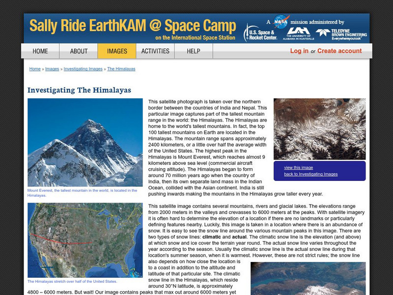
Nasa: Sally Ride Earth Kam: Investigating the Himalayas
Features satellite pictures of the Himalayas, home to the tallest mountains on Earth. Site also provides narrative on the snow line of the mountain range.
Exploratorium
Exploratorium: Third From the Sun
This site offers a short history of the evolution of the space program and man's quest for more revealing and detailed pictures of the earth.
University of Wisconsin
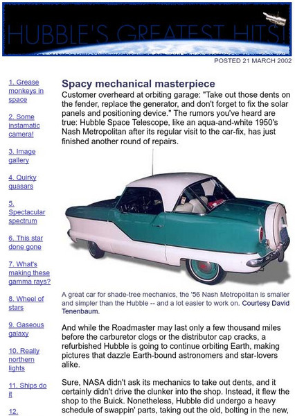
The Why Files: Spacy Mechanical Masterpiece
An interesting article describing repairs which were completed on the Hubble telescope in 1993 and 1997. Also contains links to pictures taken by the telescope.
Science Education Resource Center at Carleton College
Serc: Investigating the Ocean Algal Blooms
This NOAA computer-based activity is designed to teach students in grades 9-12 how satellite imagery and remote sensing can be used to monitor harmful algal blooms (HABs). This lesson teaches students how to read and interpret satellite...
University of Guelph
Canada's Polar Environments
This site is a set of images along with volumes of information make this site a treasure trove. The site has satellite images.
PBS
Pbs Learning Media: Mount St. Helens: Before and After
This multimedia resource produced for Teachers' Domain chronicles the 1980 volcanic eruption of Mount St. Helens. Featured are still images of the devastation, video of the eruption plume, and before-and-after satellite images of the...
Other
Simple Science: Snow and Ice Ii
The innovative resource compares snow and ice cover in the Northern Hemisphere over a period of 24 years. The images are obtained from satellite measurements of visible and microwave radiation. The activity has an interactive online...
Nature Conservancy
The Nature Conservancy: Introduction to Sustainable Forestry
In this lesson, students interact with Google Earth to identify forests that have been logged selectively versus those that have not. They also learn how to distinguish the appearance of forestry methods in satellite images.
Smithsonian Institution
National Air and Space Museum: Exploring the Planets: Venus
Get the facts on Venus. Resource offers a variety of satellite images and facts about the structure and features of Venus.
Other
Weather Underground: The Authority in Expert Weather
Weather maps, forecasts, radar, NEXRAD, satellite images, and lifestyle weather reports for the United States and world. Includes Dr. Dewpoint and Weather 101 sections for educational use.
Planetary and Space Science Centre
Passc: Earth Impact Database
A comprehensive site which allows you to do research on any impact crater found on the Earth. You can sort them by name, size or age. The site also contains maps of the continents marked with the locations of each crater. Satellite...
PBS
Pbs Learning Media: Deforestation in Bolivia
This visualization adapted from NASA features two satellite images from 1984 and 2000 that show the dramatic deforestation of the Bolivian rainforest. Includes background reading material and discussion questions.
Library of Congress
Loc: America the Beautiful
A resource page of online map resources, lesson plans, students activities and the transcript of a live chat on the geography of the United States.
Other
University of Alabama: Alabama Maps
This page contains 3575 maps of Alabama. Includes historical and contemporary maps.
Other
Lehigh University: Land Use Change
An inquiry-based science unit for middle school students centered on how human activities affect environmental changes related to land use. The lessons integrate technology and lab activities while teaching about today's land use and how...
The Washington Post
The Gulf Coast in Katrina's Wake
This vivid look at New Orleans and the surrounding areas truly gets to the core of the destruction imposed by Hurricane Katrina. A graphic overview, panoramic photographs, and short videos are just a few of the amazing resources offered...
Other
Geology.com: United States of America
The following website includes a satellite image of the United States. It also includes a list of bordering countries, cities, locations, natural resources, natural hazards, and environmental issues.
Curated OER
Picture of a Gps Satellite
Where are you and where are you going? Visit this site and learn the discovery and purpose of GPS, Global Position Systems.
Science Education Resource Center at Carleton College
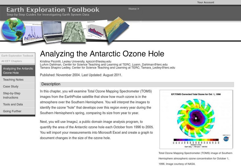
Serc: Analyzing the Antarctic Ozone Hole
In this chapter, you will examine Total Ozone Mapping Spectrometer (TOMS) images from the EarthProbe satellite that show how much ozone is in the atmosphere over the Southern Hemisphere. You will interpret the images to identify the...
Curated OER
Satellite Image of Flooding in New Orleans, August 2005
In-depth coverage of Hurricane Katrina from the BBC. Photographs, animated maps, video clips, and other resources can be found.
Curated OER
Visual Satellite Observer: Mir Space Station's 15 Years in Space Ends
Details of Mir's re-entry into the Earth's atmosphere after 15 years in space. Includes information on Mir's mission, configuration, and history.
Curated OER
Viewers in Baghdad Watching Al Arabiya Satellite Tv Station, 2004
The BBC provides a general overview of the country of Iraq. Content includes a focus on Saddam Hussein, Iraq's press and media, an Iraqi timeline of key events, and much more.


