Curated OER
Hdf Image From Cdat
This site provides a concise explanation of the bleeching process, its effect on corals, and the causes of bleeching.
Johns Hopkins University
Johns Hopkins University: Arizona State Maps
This site from the Johns Hopkins University Applied Physics Laboratory provides several maps of Arizona including a county map, shaded relief map, and a satellite image.
Johns Hopkins University
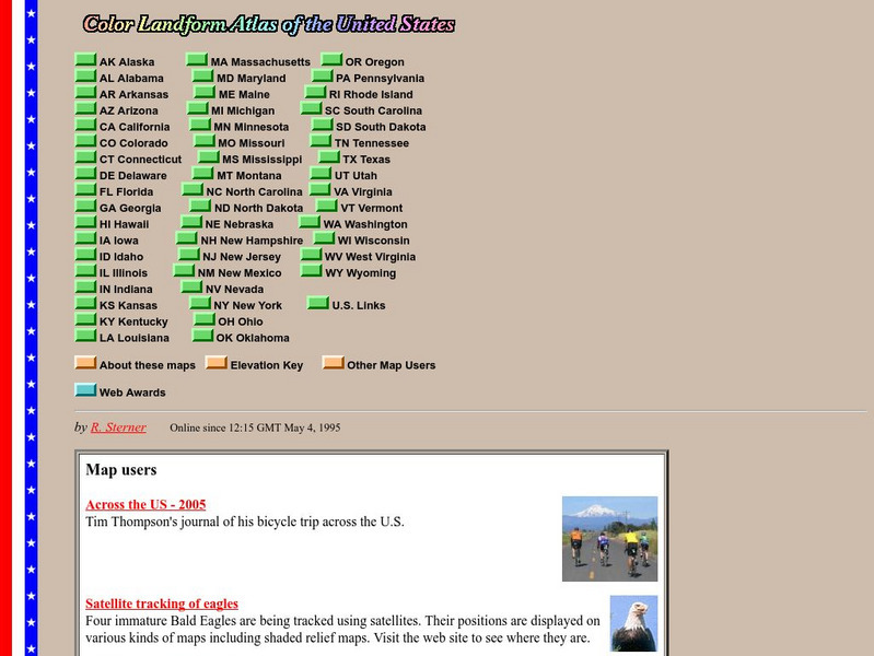
John Hopkins University: Color Landform Atlas of the u.s.
This site from John Hopkins University provides detailed maps of and physical information on each of the 50 states. Maps range from relief maps to satellite images, to historical maps.
Johns Hopkins University
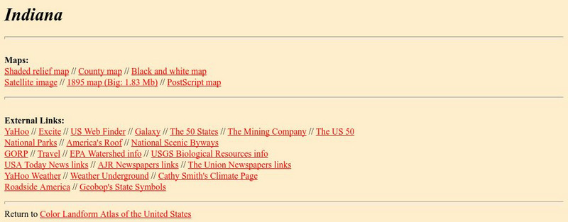
The Johns Hopkins University: Indiana State Maps
At this site from The Johns Hopkins University Applied Physics Laboratory, you can learn more about the state of Indiana through this informative map resource. This website has a shaded relief map, a county map, a black and white map, a...
Johns Hopkins University
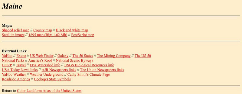
Johns Hopkins University: Maine State Maps
This site is presented by the Johns Hopkins University Applied Physics Laboratory. Have you ever wondered what Maine would look like from a satellite image? If you have more questions like this one use this website. It features several...
Johns Hopkins University
The Johns Hopkins University: Mississippi State Maps
This site from The Johns Hopkins University Applied Physics Laboratory allows you to check out a view of Mississippi from a satellite image. This map along with several others are available on this website.
Johns Hopkins University
The Johns Hopkins University: New York State Maps
This site on maps is provided for by The Johns Hopkins University Applied Physics Laboratory. Have you ever wondered what New York state looks like from a satellite image? Find out by using this website. There are several other maps to...
Johns Hopkins University
The Johns Hopkins University: Oklahoma State Maps
This site from The Johns Hopkins University Applied Physics Laboratory contains links to a shaded relief map, county map, black and white map, satellite image, 1895 map, and a PostScript map.
Johns Hopkins University
The Johns Hopkins University: Oregon State Maps
This site from The Johns Hopkins University Applied Physics Laboratory contains links to a shaded relief map, county map, black and white map, satellite image, 1895 map, and a PostScript map.
Johns Hopkins University
Johns Hopkins University: Rhode Island State Maps
This site from the Johns Hopkins University Applied Physics Laboratory contains links to a shaded relief map, county map, black and white map, satellite image, 1895 map, and a PostScript map.
Johns Hopkins University
The Johns Hopkins University: South Carolina State Maps
At this site from The Johns Hopkins University Applied Physics Laboratory, you can learn more about this fascinating state through various types of maps. This site contains links to a shaded relief map, county map, black and white map,...
Johns Hopkins University
The Johns Hopkins University: Utah State Maps
At this site from The Johns Hopkins University Applied Physics Laboratory, you can learn more about Utah through these different types of maps. This site contains a black and white map, a county map, a satellite image map, a shaded...
Johns Hopkins University
The Johns Hopkins University: Virginia State Maps
This site from The Johns Hopkins University Applied Physics Laboratory allows you to learn more about Virginia through these different types of maps. This site contains a black and white map, a county map, a satellite image map, a shaded...
Johns Hopkins University
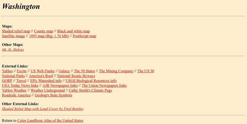
The Johns Hopkins University: Washington State Maps
This site from The Johns Hopkins University Applied Physics Laboratory allows you to learn more about Washington through these different types of maps. This site contains a black and white map, a county map, a satellite image map, a...
Johns Hopkins University
The Johns Hopkins University: West Virginia State Maps
This site from The Johns Hopkins University Applied Physics Laboratory contains a black and white map, a county map, a satellite image map, a shaded relief map. Check out West Virginia's landforms.
Johns Hopkins University
Johns Hopkins University: Wyoming State Maps
At this site from the Johns Hopkins University Applied Physics Laboratory, you can learn more about this vast state of Wyoming through several different maps. This site contains a shaded relief map, a satellite image map, a black and...
California Institute of Technology
The Discovery of Eris, the Largest Known Dwarf Planet
Until the discovery of Eris, Pluto was known as the largest Keiper belt object. This dwarf planet has replaced Pluto in size and is accompanied by a satellite that has been given the name Dysnomia. Learn about this distant world here...
BBC
Bbc News: Hurricane Rita Lashes Gulf Coast
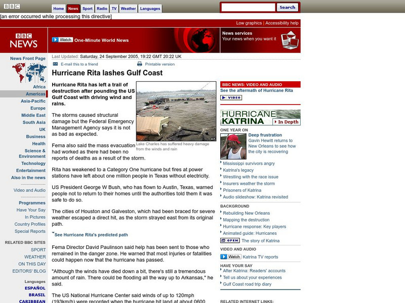
In this September, 2005, report, the Gulf Coast is hit by Hurricane Rita. Along with report, is a photographic slideshow, satellite images, and links to other articles.
Other
Radley College Geography Department: Latest Weather
Many weather maps including world satellite images, jet streams, tropical storm trackers, temperatures and many more.
Read Works
Read Works: Head Count
[Free Registration/Login Required] An informational text about scientists who use satellite imaging to count endangered animals. A question sheet is available to help students build skills in reading comprehension.
American Geosciences Institute
American Geosciences Institute: Earth Science Week: Exploring Color Maps
An activity where students study the Ozone Hole poster used that brings together colorful images of over 30 years of satellite observations of the ozone hole. Students interpret the color on the globes to see how the ozone hole has...
Planetary and Space Science Centre
Earth Impact Database: Kara Kul Crater
View satellite images of the Kara-Kul Crater along with data such as its age, diameter, and exact location. The site links with a comprehensive database that allows you to compare impact craters found around the world.
Planetary and Space Science Centre
Earth Impact Database: Siljan Crater
View satellite images of the Siljan Crater along with data such as its age, diameter, and exact location. The site links with a comprehensive database that allows you to compare impact craters found around the world.
NASA
Nasa: Japan Quake
NASA provides technical calculations on the 9.0 quake and tsunami that hit Japan in March, 2011. Find satellite images, as well as narrative on the effects of the quake on Japan and the Earth itself.


