Curated OER
Bbc News: Hurricane Rita Lashes Gulf Coast
In this September, 2005, report, the Gulf Coast is hit by Hurricane Rita. Along with report, is a photographic slideshow, satellite images, and links to other articles.
Curated OER
Le Relief Du Jura
Four maps that include 3 satellite photographs of the Jura mountains and one drainage map, with links to maps of specific portions.
Curated OER
L'hydrographie Du Jura
Four maps that include 3 satellite photographs of the Jura mountains and one drainage map, with links to maps of specific portions.
Curated OER
Le Relief De La Franche Comt
Four maps that include 3 satellite photographs of the Jura mountains and one drainage map, with links to maps of specific portions.
Curated OER
Franche Comt
Four maps that include 3 satellite photographs of the Jura mountains and one drainage map, with links to maps of specific portions.
Curated OER
Carte Des Voies Ferr
Four maps that include 3 satellite photographs of the Jura mountains and one drainage map, with links to maps of specific portions.
Curated OER
Bbc News: Hurricane Rita: The Impact
Web page focused on the impact of Hurricane Rita on the Gulf Coast. Find a map of the path of the hurricane, satellite photo, graphic of New Orleans levee, information on the oil industry, and more.
Curated OER
Bbc News: Hurricane Rita: The Impact
Web page focused on the impact of Hurricane Rita on the Gulf Coast. Find a map of the path of the hurricane, satellite photo, graphic of New Orleans levee, information on the oil industry, and more.
Curated OER
Bbc News: Hurricane Rita: The Impact
Web page focused on the impact of Hurricane Rita on the Gulf Coast. Find a map of the path of the hurricane, satellite photo, graphic of New Orleans levee, information on the oil industry, and more.
Curated OER
New Orleans Graphic
Web page focused on the impact of Hurricane Rita on the Gulf Coast. Find a map of the path of the hurricane, satellite photo, graphic of New Orleans levee, information on the oil industry, and more.
Curated OER
Bbc News: Hurricane Rita: The Impact
Web page focused on the impact of Hurricane Rita on the Gulf Coast. Find a map of the path of the hurricane, satellite photo, graphic of New Orleans levee, information on the oil industry, and more.
Curated OER
Reference Map of Antarctic Ice Shelves
View satellite pictures of 19 different areas of the ice shelves surrounding Antarctica. Each picture is labeled and can be viewed in the thermal or visible parts of the spectrum.
University of Michigan
University of Michigan: Usa Weather
This site gives current weather information by state.
Science Education Resource Center at Carleton College
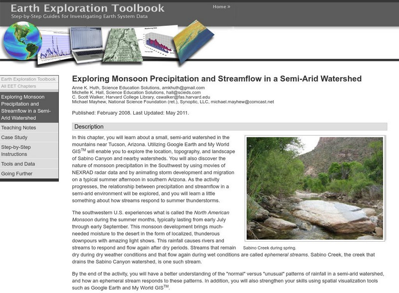
Serc: Exploring Monsoon Precipitation and Streamflow in a Semi Arid Watershed
Students use both My World GISTM and Google Earth maps to investigate streamflow and precipitation relationships in the vicinity of Tucson, AZ.
NASA
Nasa: Earth Science Games
Have fun while exploring earth science. NASA offers seven games online games: Droplet and the Water Cycle, What on Earth?, Word Puzzles, Drag 'n Drop Puzzles, Pangaea Map Game, Tectonics Quiz, and Color Me!
American Geosciences Institute
American Geosciences Institute: Earth Science Week: Space Archaeology
Want to be an archaeologist without leaving school? Use a computer to become a space archaeologist and identify burial sites on Earth.
Curated OER
Kazakhstan Political Map
Check out this great satellite image of Kazakhstan from Google Earth. Scroll past the informative political map to see the image. There is more information about the country below the satellite map.
Curated OER
Kyrgyzstan Political Map
Check out this great satellite image of Kyrgyzstan from Google Earth. Scroll past the informative political map to see the image. There is more information about the country below the satellite map.
Curated OER
China Political Map
Check out this great satellite image of China from Google Earth. Scroll past the informative political map to see the image. There is more information about the country below the satellite map.
Curated OER
Kuwait Political Map
Check out this great satellite image of Kuwait from Google Earth. Scroll past the informative political map to see the image. There is more information about the country below the satellite map.
Curated OER
Albania Political Map
Check out this great satellite image of Albania from Google Earth. Scroll past the informative political map to see the image. There is more information about the country below the satellite map.
Curated OER
Angola Political Map
Check out this great satellite image of Angola from Google Earth. Scroll past the informative political map to see the image. There is more information about the country below the satellite map.
Curated OER
Botswana Political Map
Check out this great satellite image of Botswana from Google Earth. Scroll past the informative political map to see the image. There is more information about the country below the satellite map.
Curated OER
Lesotho Political Map
Check out this great satellite image of Lesotho from Google Earth. Scroll past the informative political map to see the image. There is more information about the country below the satellite map.


