Curated OER
TOEFL Structure Practice Quiz #3
In this language arts worksheet, students prepare for the TOEFL test by answering 5 questions. Students read a sentence which has a missing phrase and choose the answer which best completes the sentence.
Curated OER
Florida: Reading Comprehension
In this Florida reading comprehension worksheet, students read a 2-page selection regarding the state and then respond to 10 true or false questions.
Curated OER
Oceans
In this oceans worksheet, student use clues from a song titled "Oceans," then locate and label the 5 oceans. An answer key is given but page doesn't included a song link.
Other
Cabrillo College: Native People of North America: Great Basin Culture Area
Contains detailed information on the culture and history of the ancient people who lived in the Great Basin area, and also tells of their culture, religion, and way of life.
Other
Native Peoples of North America: Paleo Indian Period and Tradition
An overview of the three major Paleo Indian cultures, Clovis, Folsom, and Plano, found in North America from about 11,400 BC to 8,000 BC.
National Institutes of Health
Paleoindian Large Mammal Hunters on the Plains of North America (1998)
Published journal article that details faunal studies, hunting, weaponry, hunting strategy, butchering, and ritual activities. Seven cultural complexes are considered: Clovis, Goshen, Folsom, Agate Basin, Hell Gap, Alberta, and Cody.
The British Museum
British Museum: Explore World Cultures: Native North America
Learn about the art of native North Americans in this overview descriptions with accompanying image gallery with a detailed description of each piece.
Other
An Introduction to North America's Native People: Plains Culture Area
A wonderful website from Cabrillo College on the Plains Indians can be found here. It gives an in-depth historical overview, profiles of numerous Plains tribes, the significance of the horse, and great information on their culture and...
Other
A Gathering of Nations: Images of History of the Indian Tribes of North America
A selection of twenty-four images from The History of the Indian Tribes of North America, each representing a different Native American Nation. Each image is accompanied by a brief description.
National Humanities Center
National Humanities Center: Toolbox Library: Indian Relations, American Beginnings: 1492 1690
One modern historical assessment and several original accounts of the mistrust, negotiations, alliances, trading, and disease transmission between European colonizers and native peoples in North America.
Curated OER
Etc: Maps Etc: Population of North America, 1898
A map from 1898 showing the population distribution of North America, Central America, and Caribbean to Puerto Rico. The map shows areas of sparse to heavily populated concentrations at the time. "Many thousands of white men from western...
Library of Congress
Loc: America's Story: North Dakota
What does "Dakota mean" in French? What tribe did Sacajawea belong to? The Library of Congress's America's Story has answers and more about the state of North Dakota.
Other
Native Languages of the Americas: Native American Headdresses: Facts for Kids
Describes the different types of headdresses worn by Native American groups across North, Central and South America. (Note: some links to larger images no longer work.)
Other
State of Iowa Historical Museum: Evidence of Paleo Indian Culture
Read about the evidence arrow points made Paleo-Indians in North America. See pictures of Clovis and Folsom points.
Open Door Team
Open Door Web Site: The Struggle Between France and Britain for North America
Although France and England were fighting in Europe, wars spilled over into North America too before the French and Indian Wars.
Annenberg Foundation
Annenberg Learner: America's History in the Making: Contested Territories
This site highlights the westward expansion of settlers in North America and the effects this expansion had on Native Americans between the Revolutionary and Civil Wars.
Other
Adriaen Block, the Discovery of Long Island Sound and the New Netherlands Colony
An interesting and comprehensive essay on Adriaen Block, the development of New Netherlands, Dutch trade, and the impact of the Little Ice Age in Europe on fur trade in North America.
Other
Council on Spiritual Practices: A Brief History of the Native American Church
An informative account of the Native American Church in North America and its use of the peyote cactus in its religious services.
Curated OER
Educational Technology Clearinghouse: Maps Etc: North America, 1858
A map from 1858 of North America showing the boundaries at the time for Russian America (Alaska), Greenland, British America or New Britain, Canada East and Canada West, the United States, Mexico, Central America, and the West Indies...
Curated OER
Educational Technology Clearinghouse: Maps Etc: North America, 1689
A map of North America, Central America, and the West Indies in 1689 at the beginning of the King William's War (1689-1697), the first of the French and Indian Wars. The map is color-coded to show the claims of the English, French, and...
National Humanities Center
National Humanities Center: Toolbox Library: Indian Wars, American Beginnings: 1492 1690
Five documents representing the full range of Indian-European antagonisms, struggles for power, and outright warfare among the Spanish, Pueblo, Wampanoag, English, and French in New Spain, New France, New Mexico, and New England.
National Humanities Center
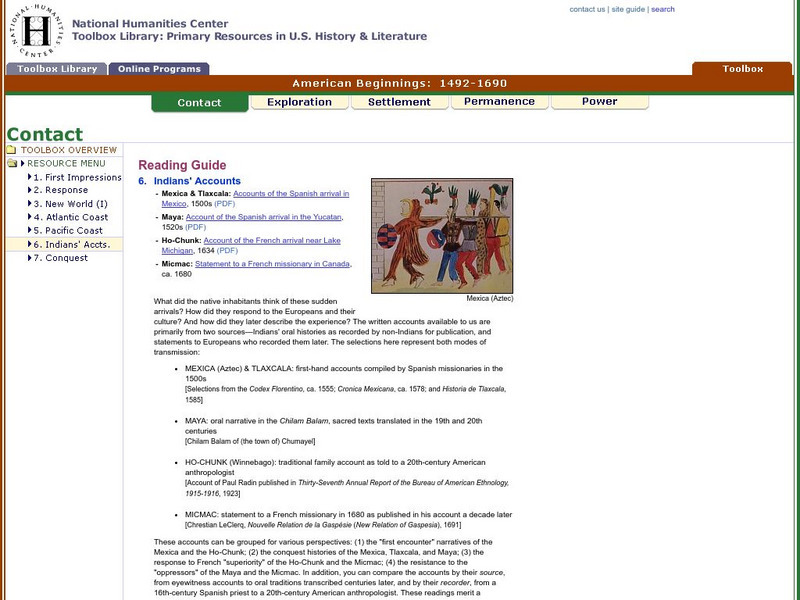
National Humanities Center: Toolbox Library: Indians' Accounts, American Beginnings: 1492 1690
Four accounts by Native Americans of their complex responses to and reactions toward European explorers near present-day Canada and Mexico.
Smithsonian Institution
National Museum of the American Indian: Infinity of Nations: Culture Quest
Learn about ten different nations of Native Americans in both North and South America by playing this Culture Quest game from the Smithsonian Institution. In addition to the game, there are many other options to choose to learn about...
Library of Congress
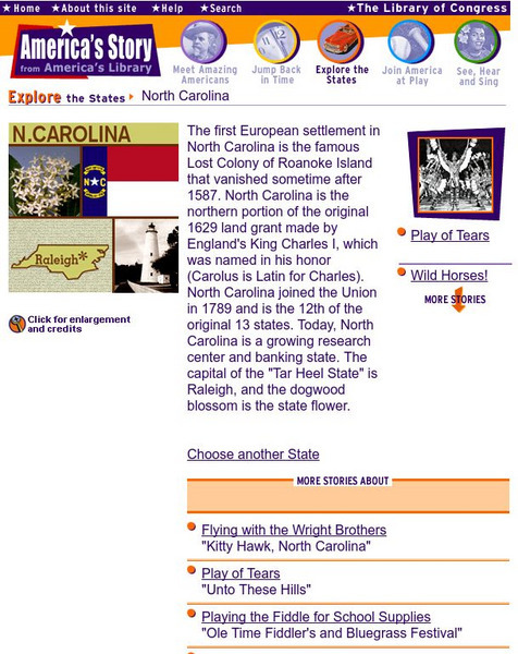
Loc: America's Story: North Carolina
Help discover more about "the story of the lost colony of Roanoke Island." Why did the Wright Brothers fly at Kitty Hawk? Learn more about North Carolina from the Library of Congress website.


