Hi, what do you want to do?
Ireland Information
Irish Christmas Traditions
A brief summary of many Christmas traditions in Ireland.
Irelands Eye
Irelands eye.com: Irish Dance Steps
IrelandsEye.com offers excellent instructions on the Irish Dance. Seven basic steps to learn.
Curated OER
Information About Ireland: An Outline Geography of Ireland
A general description of Ireland, including the physical landscape, rivers, climate, vegetation, urban settlement, manufacturing, agriculture, and others.
Curated OER
Ireland Map
A brief description of Dublin, Ireland with links to its history and some famous sites within Dublin.
BBC
Bbc: Immigrants and Exiles
Using historical important documents students look at the experiences of those from Ireland and Scotland who immigrated to other countries. Archived.
Georgia Department of Education
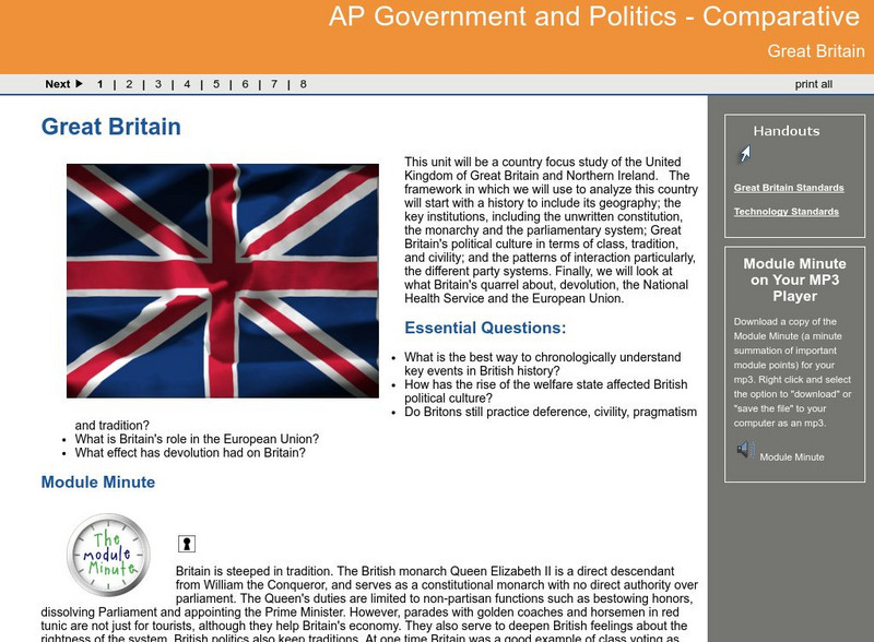
Ga Virtual Learning: Ap Government and Politics: Comparative: Great Britain
AP Comparative Government and Politics unit on Great Britain and Northern Ireland focus on the history, political institutions, and geography. Module includes multi-media resources for comprehensive study.
BBC
Bbc: History: The Irish Famine
BBC historian Jim Donnelly describes how a million people died of hunger in Ireland in the late 1840s, on the doorstep of the world's richest nation. Archived.
Other
Cain: Key Events Bloody Sunday, Derry 30 January 1972
Detailed account of the occurrences on January 30, 1972, in the town of Derry in Northern Ireland. If you have seen the movie, this site is a good companion to the film. There are eyewitness accounts, photos from the massacre and up to...
Curated OER
Map of Ireland
A homepage for one wishing to travel to Ireland. The site provides interactive maps, and links about Irish history, visitor attractions, and travel tools one may need while in Ireland.
Curated OER
Admire Beautiful Scenery of Ireland
A homepage for one wishing to travel to Ireland. The site provides interactive maps, and links about Irish history, visitor attractions, and travel tools one may need while in Ireland.
Curated OER
Admire Beautiful Scenery of Ireland
A homepage for one wishing to travel to Ireland. The site provides interactive maps, and links about Irish history, visitor attractions, and travel tools one may need while in Ireland.
Curated OER
Educational Technology Clearinghouse: Maps Etc: Ireland, 1494
A map of Ireland from the latter period of the English Pale (1492) to the time of Elizabeth and James I (1558-1625). The English "Pale" referred to the English controlled lands of Ireland, which by 1492 had been reduced, as shown on the...
Curated OER
Etc: Ireland During the Stuart and Brunswick Period, 1605 1714
A map of Ireland during the Stuart Period (from the ascension of King James I in1603 to the death of Queen Anne in 1714) and the Brunswick (House of Hanover) Period (from the ascension of George I as King of Great Britain and Ireland in...
Curated OER
Educational Technology Clearinghouse: Maps Etc: Ireland Communications, 1920
A map of Ireland in 1920 showing primary and secondary railway routes with the line names, transportation canals, and steamship routes with distances between ports shown in nautical miles. The map shows major cities, ports, rivers, and...
Curated OER
Outline Map of Ireland and Northen Ireland
A history of the troubles between Ireland and Northern Ireland.
Curated OER
Educational Technology Clearinghouse: Maps Etc: Ireland, 1872
A map of Ireland in 1872 showing the four provinces of Ireland (Ulster, Connaught, Leinster, and Munster) and their associated counties, major cities, ports, rivers and terrain.
Curated OER
Educational Technology Clearinghouse: Maps Etc: Ireland, 1885
A map of Ireland in 1885 showing the four provinces of Ireland (Ulster, Connaught, Leinster, and Munster) and is color-coded to show the counties of each province. This map shows, major cities and county capitals, ports, rivers, lakes...
Curated OER
Educational Technology Clearinghouse: Maps Etc: Ireland, 1558 1652
A map of Ireland from the ascension of Queen Elizabeth (1558) to the end of the Cromwellian conquest and the Act for the Settlement of Ireland (1652). This map is color-coded to show the territories of the expanded English Pale, the...
Curated OER
Educational Technology Clearinghouse: Maps Etc: Cork, Ireland, 1914
A map of the cities of Cork and Queenstown, Ireland, and vicinity in 1914, showing the harbors, major roads, neighboring towns, rivers, terrain, and coastal features.
Curated OER
Educational Technology Clearinghouse: Maps Etc: Ireland Climate, 1920
A climate map of Ireland in 1920 showing the average annual rainfall in inches, January and July isotherms in degrees Fahrenheit, and prevailing wind direction.
Curated OER
Educational Technology Clearinghouse: Maps Etc: Ireland Plate I, 1920
A map of the northern section of Ireland in 1920, showing cities, towns, ports, railways, canals, rivers, lakes, and coastal features north of Dublin and Galway. The map is color-coded to clearly show county boundaries.
Curated OER
Educational Technology Clearinghouse: Maps Etc: Western Ireland, 1691
A map of Western Ireland during the War of Two Kings (Williamite War or Jacobite War), showing the campaigns in the region in 1691, including the siege of Limerick on the River Shannon and the final Battle of Aughrim on 12 July, 1691.
Curated OER
Educational Technology Clearinghouse: Maps Etc: Ireland Plate Ii, 1920
A map of the southern section of Ireland in 1920, showing cities, towns, ports, railways, canals, rivers, lakes, and coastal features south of Dublin and Galway. The map is color-coded to clearly show county boundaries.
Curated OER
Educational Technology Clearinghouse: Maps Etc: Belfast, Ireland, 1914
A map of Belfast, Ireland, and vicinity, showing its situation on Belfast Lough, major roads, railroads and waterways, rivers and terrain, and neighboring cities and towns including Carrickfergus, White Abby, Holywood, Bangor,...
Other popular searches
- Ireland Geography
- Ireland Potato Famine
- Northern Ireland
- Ireland Geography Rivers
- Ireland Map Coloring Pages
- History of Ireland
- Lesson Plans on Ireland
- Conflicts in Ireland
- Charts Ireland Geography
- Ireland Geography Map
- Ireland Lessons
- Ireland Geography Grade 4


