Physics Classroom
Decibel Scale
Turn it up! Sound scientists explore the decibel scale through an interactive that calculates movement up and down the scale. Part of a series of interactives that explore sounds and waves, the resource includes a help feature to support...
Curated OER
South America Map Quiz
In this online interactive geography quiz worksheet, students examine the map that includes all of South America's countries. Students identify the 13 countries in 2 minutes.
Curated OER
Middle East Map Quiz
In this online interactive geography quiz worksheet, students examine the map that includes 26 Middle Eastern countries. Students identify the names of the countries in 4 minutes.
Curated OER
Central America Map Quiz
In this online interactive geography quiz worksheet, students examine the map that includes 22 Central American countries. Students identify the names of the countries in 3 minutes.
Curated OER
California Cities Map Quiz
In this online interactive geography quiz activity, students examine the map that includes 12 California cities. Students identify the names of the cities in 3 minutes.
Curated OER
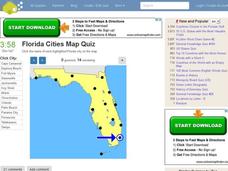
Florida Cities Map Quiz
In this online interactive geography instructional activity, students examine a map of Florida and identify the 12 noted cities on the map using a pull down menu within 3 minutes.
Curated OER
Texas Cities Map Quiz
In this online interactive geography worksheet, students examine a map of Texas and identify the 15 noted cities on the map using a pull down menu within 3 minutes.
Curated OER
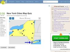
New York Cities Map Quiz
In this online interactive geography worksheet, students examine a map of New York and identify the 11 noted cities on the map using a pull down menu within 3 minutes.
Curated OER
Canada Map Quiz
In this online interactive geography quiz activity, students examine the map that includes 13 Canadian provinces and territories. Students identify the names of the provinces and territories in 2...
Curated OER
Oceania Map Quiz
In this online interactive geography quiz worksheet, learners respond to 14 identification questions about Oceania. Students have 2 minutes to complete the quiz.
Curated OER
Australia Cities Map Quiz
In this online interactive geography quiz worksheet, students respond to 17 identification questions regarding Australian cities. Students have 3 minutes to finish the timed quiz.
Curated OER
Spanish Cities Map Quiz
In this online interactive geography quiz worksheet, students respond to 11 identification questions about Spanish cities. Students have 3 minutes to complete the quiz.
Curated OER
Chinese Cities Map Quiz
In this online interactive geography quiz learning exercise, students respond to 10 identification questions about Chinese cities. Students have 3 minutes to complete the quiz.
Curated OER
United States Map Quiz
For this online interactive geography quiz worksheet, students respond to 50 identification questions about the shapes of countries shown. Students have 5 minutes to complete the quiz.
Curated OER
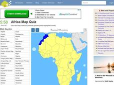
Africa Map Quiz
For this online interactive geography quiz worksheet, learners respond to 53 identification questions about the countries of Africa. Students have 6 minutes to complete the quiz.
Music Theory
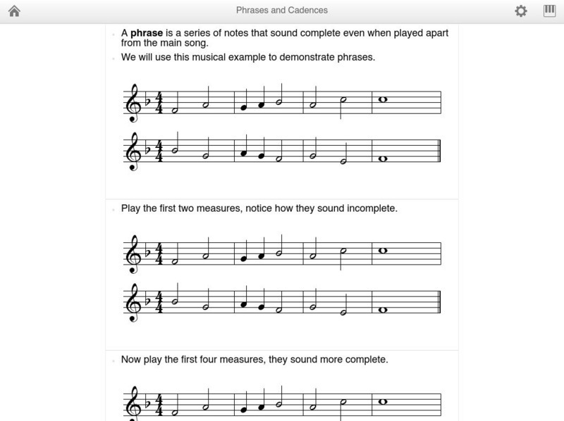
Music theory.net: Phrases and Cadences
An explanation of phrases and cadences with illustrated examples. Also provides audio clips, and a printable chart at the end of the lesson. By MusicTheory.net.
Music Theory
Music theory.com: Introduction to Chords
A description of augmented and diminished triads/ chords. Provides illustrated examples with highlighted vocabulary words,a printable chart, and audio clips to supplement the lesson.
Music Theory
Music theory.net: Generic Intervals
A thorough description of generic intervals with a printable chart at the end of the lesson. MusicTheory.net provides illustrated examples, and highlighted vocabulary terms. (You may need to download Flash Player to view this site.)
Music Theory
Music theory.net: Diatonic Triads
Descriptions of diatonic triads: major, natural minor, and harmonic minor. Provides animated illustrations, and a printable chart at the end of the lesson.


