Hi, what do you want to do?
Curated OER
Acid Rain
Learners understand the dynamics of acid rain and its impact on the living and non-living environment. They hypothesize how acid rain affects water pH levels in two lake systems with differing watershed features.
Curated OER
Our Country's Environment
In these environment worksheets, students complete several multiple choice questions that teach them about the Earth's landforms and water.
Curated OER
Reading Around the World
Students use the internet to identify the seven continents. Using maps, they locate and identify major physical features of Earth. They are read different books by various authors on the Earth and answer questions related to it. They...
Curated OER
Introduction to a Unit on the 1930's Depression in America
Students view and discuss photographic images of the Dust Bowl by Dorothea Lange. They discuss who Dorothea Lange was and why she took the pictures, the conservational factors that contributed to the Dust Bowl and migrant workers and the...
Curated OER
Regions: Meet the Experts Presentation
Students gather information and create a web site on prairies and plains using a variety of resources, including the internet.
Curated OER
Earthquake!
Students gain an understanding of earthquakes. They examine vocabulary associated with earthquakes, how earthquakes happen, and preventive measures taken to diminish damage or harm in the event that an earthquake should happen.
Curated OER
What's The Level?
High schoolers examine the movement of the water table and saturation zones. They describe the movements of the water table and locate the saturation zones. Students identify the function of each saturation zone. They develop a model of...
Curated OER
What Goes On Down Under?
Young scholars explore the sources for recharge and discharge of groundwater. They research the connection between surface water and groundwater. Students construct a model of an aquifer and explore recharge and discharge of the aquifer.
NASA
Nasa Earth Observatory: Modeling Earth's Land Biosphere
Read this article to learn how scientists are using instruments to try and monitor our land biosphere. Scientists have learned two different types of models to help track data from our land.
Georgia Department of Education
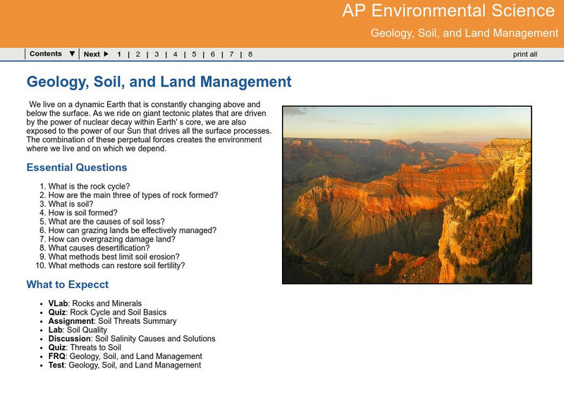
Ga Virtual Learning: Ap Environmental Science: Geology, Soil and Land Management
Students explore how Earth processes shape the land, and how important managing the land can be in response to these natural activities.
Ohio History Central
Ohio History Central: Shaping the Land
This site contains maps and other information about the Ohio's topography. Great details about how glaciers played a key role in the formation of Ohio's land, the natural resources left behind, and the natural regions and their differences.
Other
Okanagan University: Eolian Processes and Landforms
A wonderfully detailed introduction to the topic of wind erosion and landforms. Contains many illustrations and maps which show the concepts that are presented in the text.
US Geological Survey
U.s. Department of Interior: Lake Pontchartrain Basin Lessons
An entire unit regarding the wetlands of the Lake Pontchartrain Basin. Students can find comparisons or relationships between elevation, vegetation, soils, geologic formations, rainfall, pollution, public land use, coastal wetlands,...


