Quia
Quia: Geography World: Landform Concentration
Play this fun game of Geography Concentration to practice your geography vocabulary and increase learning. After each game the cards change and new words and definitions are introduced. Users must enable JavaScript.
Georgia Department of Education
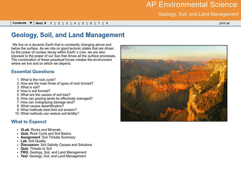
Ga Virtual Learning: Ap Environmental Science: Geology, Soil and Land Management
Students explore how Earth processes shape the land, and how important managing the land can be in response to these natural activities.
Johns Hopkins University
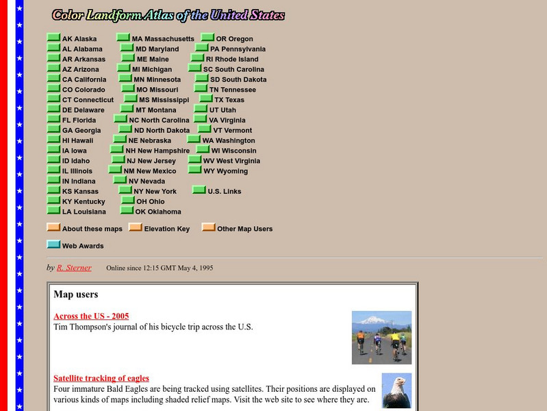
John Hopkins University: Color Landform Atlas of the u.s.
This site from John Hopkins University provides detailed maps of and physical information on each of the 50 states. Maps range from relief maps to satellite images, to historical maps.
Quia
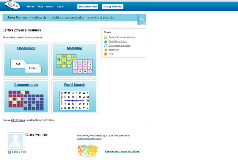
Quia: Geography World: Earth's Physical Features Games
This site contains matching, concentration, flash cards, and word search games from landform vocabulary. Excellent games which contain more than one version of each game to reinforce all vocabulary taught.
University of Regina (Canada)
University of Regina: Eolian Processes and Landforms
A detailed outline containing a large amount of material on wind erosion, describing wind transport mechanisms, and wind landform formation.
English Worksheets Land
English Worksheets Land: Formatting Titles: Rules for Formatting Titles [Pdf]
A learning exercise in which students decide which formatting rules apply to each sentence containing a title.
English Worksheets Land
English Worksheets Land: Formatting Titles: The Box Office [Pdf]
Practice formatting titles correctly by rewriting the titles of the movie posters on this worksheet.
Smithsonian Institution
Smithsonian American Art Museum: The Land Through a Lens
"The Land Through a Lens: Highlights from the Smithsonian American Art Museum," features 84 photographs from the early years of photography in the 1850s through the 20th century. Included in the collection are works by early, modern, and...
Other
Maps & Globes: Other Land Forms
A very simple overview of various land forms and their characteristics: peninsula, cape, isthmus, valley, canyon, cliff, and swamp.
ArtsNow
Arts Now Learning: Dance Across the United States of America [Pdf]
These activities will allow students to become explorers and travel across the United States to encounter a variety of land forms. Students will create a story about their trek and then create choreography to match the sequence generated...
Science Education Resource Center at Carleton College
Serc: Mn Step: Student Created Landform Maps With Glacial Emphasis
An activity where students work together to make topographic maps of a local park. The map must include a key and the grid locations of landforms in the park.
Northern Arizona University
Land Use History of North America: Prehistoric Farming on the Colorado Plateau
This is an overview of the Anasazi agricultural developments -- despite unfavorable environmental conditions -- which allowed for the formation of settlements and food sharing.
Other
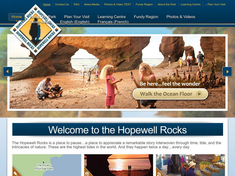
Hopewell Rocks 360 Degrees Panorama
Take a panoramic tour of the famous Hopewell Rocks. Explore the ocean floor and the rock formations. Be careful! When the tides come in the water rises to a height of a four story building.
Open Library of the Internet Archive
Open Library: Mountain Land
This ebook version of Robert William Chambers's Mountain-Land has been made available in multiple formats by the Open Library. Editions of the full novel, organized by year of publication, may be accessed here.
Fourmilab Switzerland
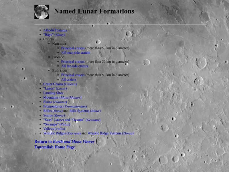
John Walker: Named Lunar Formations
This atlas of the Lunar surface features lists all named features. Click on a name and see an image of that item, or at least an image of the Moon centered on that item.
Science Education Resource Center at Carleton College
Serc: Lab 3: Land Ice
A lab experiment in a series of experiments that investigates climate and the cryosphere. Here you can learn about how glaciers form. Understand how glaciers offers scientist evidence for climate change. Lab includes both an online...
Open Library of the Internet Archive
Open Library: All Aboard for Sunrise Lands
This ebook version of Edward A. Rand's All Aboard For Sunrise Lands has been made available in multiple formats by the Open Library. Editions of the full novel, organized by year of publication, may be accessed here.
Open Library of the Internet Archive
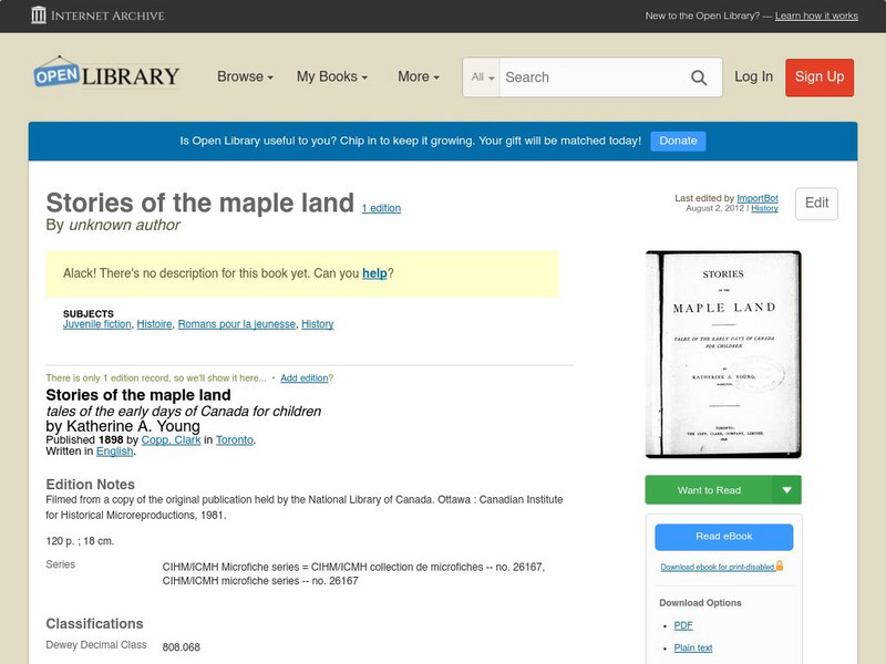
Open Library: Stories of the Maple Land
This ebook version of Unknown author's "Stories Of The Maple Land" has been made available in multiple formats by the Open Library. Editions of the full novel, organized by year of publication, may be accessed here.
Open Library of the Internet Archive
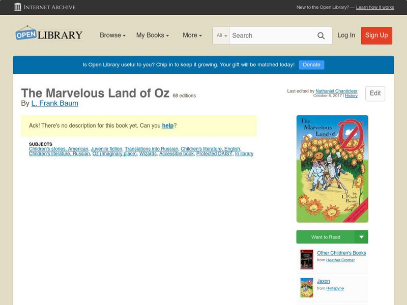
Open Library: The Marvelous Land of Oz
This ebook version of L. Frank Baum's The Marvelous Land Of Oz has been made available in multiple formats by the Open Library. Editions of the full novel, organized by year of publication, may be accessed here.
Curated OER
Educational Technology Clearinghouse: Maps Etc: Land Regions of Asia, 1920
A color-relief map from 1920 of Asia showing the principal landform and vegetation features, river systems, and water features of the region. The map is keyed to show areas of waters less than 500 feet deep, floating ice, lands below sea...
Georgia Department of Education
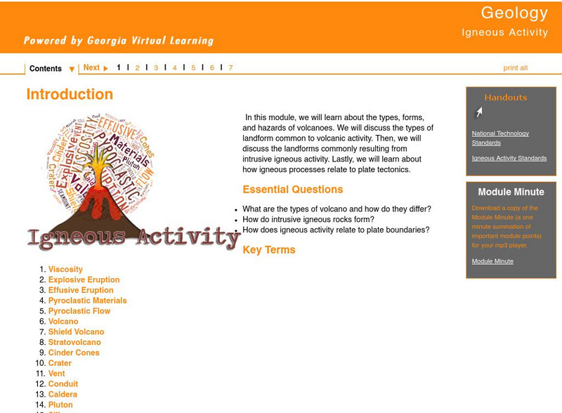
Ga Virtual Learning: Igneous Activity
In this interactive tutorial you will learn about the types, forms, and hazards of volcanoes. The types of landform common to volcanic activity is discussed. Then, the landforms commonly resulting from intrusive igneous activity are...
Other
Chicago Science Group: Earth's Changing Surface Virtual Field Trip
Join Science Companion author Belinda Basca and her family as they explore the land forms in Hawaii from a helicopter! Includes suggestions for teacher lessons, student activities, and web resources.
Curated OER
University of Texas: Sri Lanka: Relief Map
A very easy to read relief map of Sri Lanka from the Perry-Castaneda Collection showing the land forms along with the major highways and rail lines.
The Franklin Institute
The Franklin Institute: Land Mass Formation
The Franklin Institute has provided a demonstration that theorizes how the earth's crust was formed. This is a lesson plan that needs only a few materials.


![English Worksheets Land: Formatting Titles: Rules for Formatting Titles [Pdf] Unknown Type English Worksheets Land: Formatting Titles: Rules for Formatting Titles [Pdf] Unknown Type](https://d15y2dacu3jp90.cloudfront.net/images/attachment_defaults/resource/large/FPO-knovation.png)


