Hi, what do you want to do?
Open Library of the Internet Archive
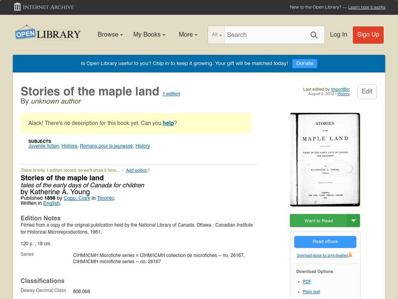
Open Library: Stories of the Maple Land
This ebook version of Unknown author's "Stories Of The Maple Land" has been made available in multiple formats by the Open Library. Editions of the full novel, organized by year of publication, may be accessed here.
Open Library of the Internet Archive
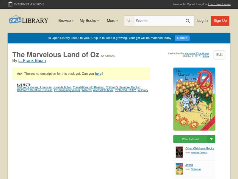
Open Library: The Marvelous Land of Oz
This ebook version of L. Frank Baum's The Marvelous Land Of Oz has been made available in multiple formats by the Open Library. Editions of the full novel, organized by year of publication, may be accessed here.
Other
History of Oklahoma: Brief History of the Formation of Oklahoma Territory
Contains an article, "A Brief History of the Formation of Oklahoma Territory," as printed in "The Indian Advocate," a newspaper published between 1889 and 1910.
Curated OER
Educational Technology Clearinghouse: Maps Etc: Land Regions of Asia, 1920
A color-relief map from 1920 of Asia showing the principal landform and vegetation features, river systems, and water features of the region. The map is keyed to show areas of waters less than 500 feet deep, floating ice, lands below sea...
PBS
Pbs Learning Media: Hurricane Matthew Causes Weathering and Erosion
View videos and photos from the aftermath of Hurricane Matthew and see how the earth's landforms changed as a result of the heavy winds and rain. Weathering and erosion made a new landform and dramatically changed the coastline....
National Geographic
National Geographic: Shaping the Tallest Peak on Earth
This lesson plan builds upon a National Geographic film covering George Mallory's effort to climb Mount Everest in 1924. It looks at the physical features of mountains, and the landform features of Mount Everest that present challenges...
Georgia Department of Education
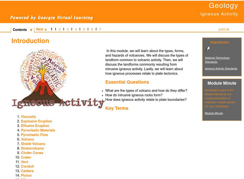
Ga Virtual Learning: Igneous Activity
In this interactive tutorial you will learn about the types, forms, and hazards of volcanoes. The types of landform common to volcanic activity is discussed. Then, the landforms commonly resulting from intrusive igneous activity are...
Other
Chicago Science Group: Earth's Changing Surface Virtual Field Trip
Join Science Companion author Belinda Basca and her family as they explore the land forms in Hawaii from a helicopter! Includes suggestions for teacher lessons, student activities, and web resources.
Curated OER
National Park Service: Chiricahua National Monument
National Park Services provides this background for the Chiricahua National Monument in Willcox, Arizona. This spectacular land formation was recognized for its beauty by the Apaches and later by Congress to become a national monument....
NASA
Nasa: Mars Odyssey
Within the rocky landscape of Mars you will find the Mariner Valley. This expansive landform is as deep as the Grand Canyon and encompasses an area as wide as the distance between New York and Los Angeles.
Curated OER
University of Texas: Sri Lanka: Relief Map
A very easy to read relief map of Sri Lanka from the Perry-Castaneda Collection showing the land forms along with the major highways and rail lines.
The Franklin Institute
The Franklin Institute: Land Mass Formation
The Franklin Institute has provided a demonstration that theorizes how the earth's crust was formed. This is a lesson plan that needs only a few materials.
C3 Teachers
C3 Teachers: Inquiries: Geography, Humans, and Environment
A learning module on how humans change and shape their local environment. It includes several supporting questions accompanied by formative tasks and source materials, followed by a summative performance task. Topics covered include...
US Geological Survey
U.s. Department of Interior: Lake Pontchartrain Basin Lessons
An entire unit regarding the wetlands of the Lake Pontchartrain Basin. Students can find comparisons or relationships between elevation, vegetation, soils, geologic formations, rainfall, pollution, public land use, coastal wetlands,...
US Department of Agriculture
China's Food and Agriculture: Issues for the 21st Cent.
A series of reports published but the United States Department of Agriculture in April of 2002 (in PDF format) from the USDA that covers "China's food consumption, marketing, international trade, agricultural policy, transportation...
Science Education Resource Center at Carleton College
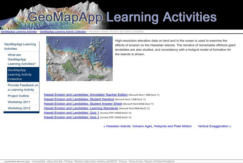
Serc: Hawaiian Islands: Erosion and Giant Landslides
High-resolution elevation data on land and in the ocean is used to examine the effects of erosion on the Hawaiian Islands. The remains of offshore landslides are also studied, and consistency with a hotspot model of formation for the...
Other
Tulane University: Physical Geology: Glaciers and Glaciation
Lots of information here about glaciation, types of glaciers, the formation of glacial ice, changes in glacier size, how glaciers move, glacial erosion, landforms produced by glaciers, glacial deposition and drift, effects of glaciation...
Nebraska Studies
Nebraska Studies
A large site that tracks the history of the Nebraska area begins with the formation of the earth, moves through the earliest human activity in Nebraska, and then through proto-historical and historical Nebraska. The Kansas-Nebraska Act,...
Science Buddies
Science Buddies: Pop Goes the Geyser!
Our home, Earth, is a living planet. Earthquakes and volcanic eruptions are proof that the geological forces that shaped our planet and created the land masses are ongoing. An amazing example of geologic activity that is less damaging is...
PBS
Pbs Learning Media: Atchafalaya Bay Deltas
The Mississippi Delta is disappearing because of rising sea levels and the construction of levees, yet the deltas in the Atchafalaya Bay are growing. View this video from NASA showing images collected over 31 years showing the growth of...
Project Gutenberg
Project Gutenberg: The Emerald City of Oz by L. Frank Baum
Join Dorothy and the Wonderful Wizard as they take Aunt Em and Uncle Henry on a fabulous tour of Oz in this full-text sequel to L. Frank Baum's The Wizard of Oz. Multiple digital formats of the full text are available.
Project Gutenberg
Project Gutenberg: Glinda of Oz by L. Frank Baum
The full text of one of L. Frank Baum's sequels to The Wizard of Oz. This novel is about Glinda, the Good Witch of the West. Multiple digital formats of the full text are available.
Science Struck
Science Struck: An Explanation of How Waterfalls Are Formed
Describes the processes that cause the formation of waterfalls, examples of waterfalls around the world, and the different types.
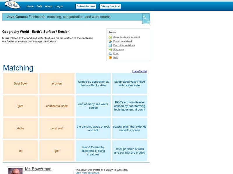
Quia
Quia: Geography World: Earth's Surface Matching Game
Match the vocabulary term with the definition to reinforce and practice your vocabulary terms. View the list of terms before beginning to become familiar with the words and improve your score. Users must enable JavaScript.


