Hi, what do you want to do?
Other
Ranges: Rocky Mountains
Informative site offering detailed information about the Rocky Mountains. Learn about the conglomeration of ranges and the fascinating peaks. The site has links to various peaks and view photographs of these beautiful mountains.
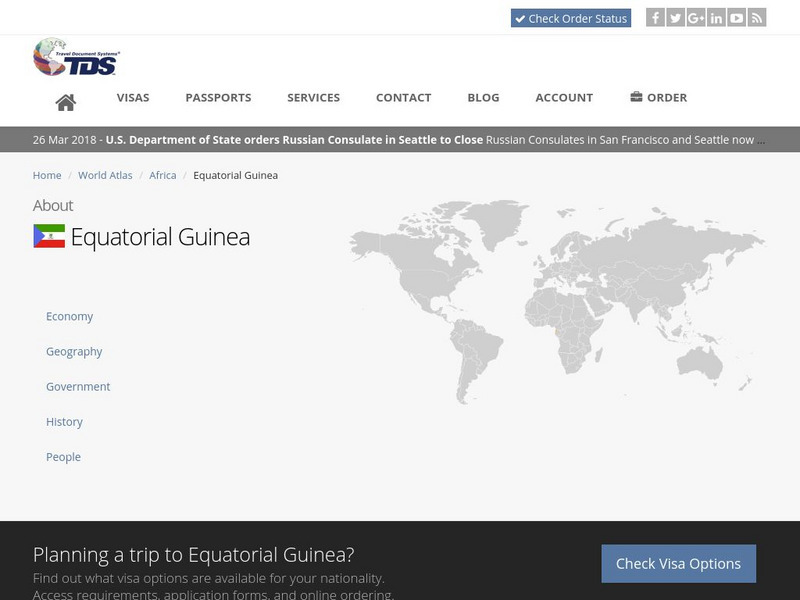
Travel Document Systems
Tds: Equatorial Guinea: Geography
Equatorial Guinea is made up of islands and a continental region. Read about the land forms on each. Information is from the CIA World Fact Book.
eSchool Today
E School Today: Landforms
Understand the formation and geology of different landforms around the Earth.
Curated OER
Landforms
Student created reports on landforms. Each landform has a brief description and an example. Pictures accompany the reports. Learn more about the landforms that shape our world.
Curated OER
Landforms
Student created reports on landforms. Each landform has a brief description and an example. Pictures accompany the reports. Learn more about the landforms that shape our world.
Curated OER
Landforms
Student created reports on landforms. Each landform has a brief description and an example. Pictures accompany the reports. Learn more about the landforms that shape our world.
Curated OER
Landforms
Student created reports on landforms. Each landform has a brief description and an example. Pictures accompany the reports. Learn more about the landforms that shape our world.
Curated OER
Landforms
Student created reports on landforms. Each landform has a brief description and an example. Pictures accompany the reports. Learn more about the landforms that shape our world.
Curated OER
Landforms
Student created reports on landforms. Each landform has a brief description and an example. Pictures accompany the reports. Learn more about the landforms that shape our world.
Curated OER
Landforms
Student created reports on landforms. Each landform has a brief description and an example. Pictures accompany the reports. Learn more about the landforms that shape our world.
Curated OER
Landforms
Student created reports on landforms. Each landform has a brief description and an example. Pictures accompany the reports. Learn more about the landforms that shape our world.
Curated OER
Landforms
Student created reports on landforms. Each landform has a brief description and an example. Pictures accompany the reports. Learn more about the landforms that shape our world.
Curated OER
Landforms
Student created reports on landforms. Each landform has a brief description and an example. Pictures accompany the reports. Learn more about the landforms that shape our world.
Curated OER
Landforms
Student created reports on landforms. Each landform has a brief description and an example. Pictures accompany the reports. Learn more about the landforms that shape our world.
Curated OER
Landforms
Student created reports on landforms. Each landform has a brief description and an example. Pictures accompany the reports. Learn more about the landforms that shape our world.
Curated OER
Landforms
Student created reports on landforms. Each landform has a brief description and an example. Pictures accompany the reports. Learn more about the landforms that shape our world.
Weather Wiz Kids
Weather Wiz Kids: Wind
Wind is air in motion. It is produced by the uneven heating of the earth's surface by the sun. Since the earth's surface is made of various land and water formations, it absorbs the sun's radiation unevenly. Two factors are necessary to...
Open Library of the Internet Archive
Open Library: Rinkitink in Oz by L. Frank Baum
This ebook version of L. Frank Baum's Rinkitink In Oz has been made available in multiple formats by the Open Library. Editions of the full novel, organized by year of publication, may be accessed here.
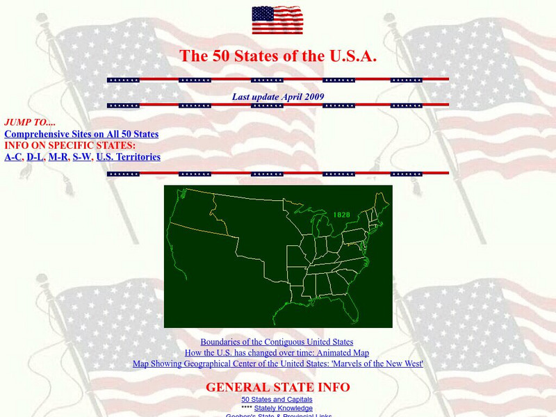
Teacher Oz
Teacher Oz: 50 States of the u.s.a.
A site with information such as maps, flags and songs of each of the 50 states in the US.
Other
Mountains Magnificent: Himalayas
This site from Mountains Magnificent for learning about the culture, trails, and atmosphere of the Himalaya Mountains.
Ducksters
Ducksters: Earth Science for Kids: Topography
Kids learn about the Earth science subject of topography including features such as landforms, elevation, latitude, longitude, and topographical maps.
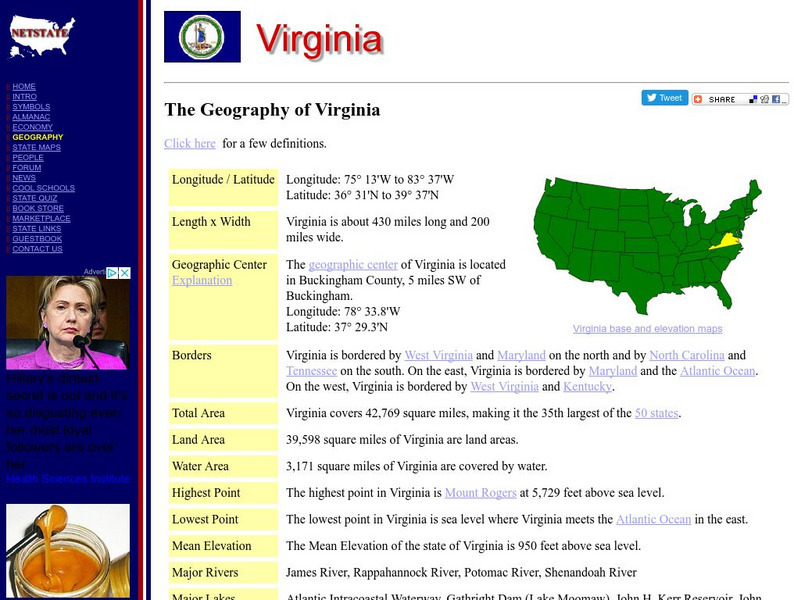
NSTATE
Netstate.com: The Geography of Virginia
Find a variety of facts about the geography of Virginia: geographic center, total area, elevations, and much more.
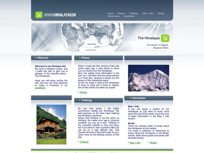
Other
The Himalayas
This site contains helpful information and photos of the Himalayas. Learn valuable information from world traveler Mogens Larsen and journey with him to the enchanting Himalaya Mountains.
Other
Southern Kings Consolidated School: Loess
This site describes loess in pretty good detail, also adding visual with two pictures. Great source for understanding how loess occurs and where it is found.


