Hi, what do you want to do?
TeachEngineering
Teach Engineering: Land! Water! Sky! Oh My!
This lesson plan focuses on the importance of airplanes in today's society. Airplanes of all shapes and sizes are used for hundreds of different reasons, including recreation, commercial business, public transportation, and delivery of...
US Environmental Protection Agency
Epa: Land, Waste, and Cleanup Topics
This site is loaded with information on solid waste and hazardous waste. It includes industries' effects on the environment, waste programs, treatment, control, pollution prevention, recycling, and cleanup programs.
University of Alberta
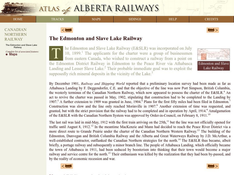
University of Alberta: The Edmonton and Slave Lake Railway
This brief history recounts the construction in 1899 of the the Edmonton and Slave Lake Railway by a group of businessmen with an interest in exploiting the mineral deposits in the Athabasca Landing and Lesser Slave Lake area.
Other
World Land Trust: Personal Carbon Balanced Calculators
You will find a series of calculators here for exploring what your carbon footprint on the Earth is, based on your use of air travel, your regular means of transportation, your household habits, and fixed carbon dioxide emissions for the...
University of Regina (Canada)
University of Regina: Eolian Processes and Landforms
A detailed outline containing a large amount of material on wind erosion, describing wind transport mechanisms, and wind landform formation.
Geographypods
Geographypods: Global Interactions: Changing Space the Shrinking World
This learning module examines how the world has become smaller as time and space have converged. Transportation is much faster, making places more accessible, goods can be more quickly and easily transported, and the Internet connects...
University of Alberta
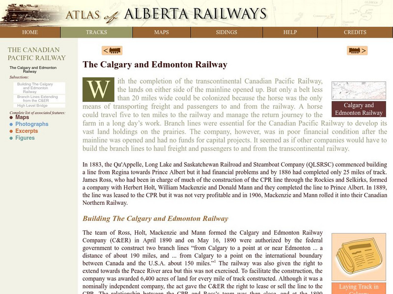
University of Alberta: The Calgary and Edmonton Railway
This history of The Calgary and Edmonton Railway is an account of the necessity to build branch lines in order for the Canadian Pacific Railway to develop its vast land holdings on the prairies. Included are maps, photographs and primary...
TeachEngineering
Teach Engineering: Carve That Mountain
In this activity, students further investigate major landforms (e.g., mountains, rivers, plains, hills, oceans and plateaus). They build a three-dimensional model of a landscape depicting several of these landforms. Once they have built...
Library of Congress
Loc: Map Collections 1500 2002
This collection provides maps dating back to 1500 up to the present. The collection includes: cities, towns, discovery and exploration, conservation and environment, military battles, cultural landscapes, transportation, communication,...
US Department of Agriculture
China's Food and Agriculture: Issues for the 21st Cent.
A series of reports published but the United States Department of Agriculture in April of 2002 (in PDF format) from the USDA that covers "China's food consumption, marketing, international trade, agricultural policy, transportation...
PBS
Pbs Learning Media: Hurricane Matthew Causes Weathering and Erosion
View videos and photos from the aftermath of Hurricane Matthew and see how the earth's landforms changed as a result of the heavy winds and rain. Weathering and erosion made a new landform and dramatically changed the coastline....
TeachEngineering
Teach Engineering: Engineering for the Earth
Young students are introduced to the complex systems of the Earth through numerous lessons on its natural resources, processes, weather, climate and landforms. Key earth science topics include rocks, soils and minerals, water and natural...
Central Intelligence Agency
Cia: World Factbook: Armenia
This resource is an encyclopedia-style reference resource about Armenia. It includes all essential statistical facts about the country (e.g., population level, land mass) and brief notes about the country's economy, government, natural...
Digital History
Digital History: The South's Economy
A good look at the economy of the South prior to the Civil War. Read a good explanation of how the use of slave labor impeded technological innovation and a lack of urban development. See how transportion improvements and good public...
Other
Overland Trail: Concord Coach
Check out all the links here to gain fascinating insight into what it would have been like to travel west by stagecoach in the late 19th century.
Other
Smog City
Smog City, an interactive air pollution simulator, shows students how human choices, environmental factors, and land use contribute to air pollution.
Ducksters
Ducksters: Ancient Egyptian History: Geography and the Nile River
Kids learn about Ancient Egyptian Geography and the Nile River. The Nile provided fertile land, transportation, and building materials for Egypt.
Other
Allstar Network: Flight
This comprehensive and informative site looks at the history and principles of flight.
Other
North Dakota State University: Managing the Risks
An in-depth look at the risks of using anhydrous ammonia as an agricultural fertilizer. Provides plenty of safety and equipment information, as well as exposure, transport, and storage guidelines.
Other
Virtual Museum of Labrador: History
Become acquainted with the "rich and diverse history" of the people of Labrador. Over the years there has been a variety of cultures that have inhabited the land including the Inuit, Metis, Europeans, and more. Information is also given...
TeachEngineering
Teach Engineering: Energy Choices Game
Use this board game to introduce the concepts of energy use in our lives and the very real impact that personal choices can have on our energy consumption, energy bills and fuel supply. The game begins as students select cards that...
NASA
Nasa: Robin Whirlybird on Her Rotorcraft Adventures
Read (or listen to) the illustrated story of Robin, who goes to work with her mother who works at a rotorcraft research center. Includes many interactive supplemental activities.
Idaho State University
Idaho State University: Landslides, Slope Failure, Other Mass Wasting Processes
Slope failure is the downslope movement of rock debris and soil in response to gravitational stresses. Three major types of mass wasting are classified by the type of downslope movement. The types of movement, falls, slides, and flows...
Texas State Library and Archives Commission
Texas State Library and Archives Commission: Hazardous Business: The Railroads Come to Texas
What made transportation in early Texas so difficult? What were the road conditions like? This article talks about land and water transportation in Texas in the years leading up to and after the Civil War. Also, check out photos and...
Other popular searches
- Types of Land Transportation
- History Land Transportation
- Land Transportation Songs
- Land Transportation Systems
- Facts of Land Transportation
- Land Transportation Van
- Land Transportation Car


