Curated OER
What Can a Map Tell You?
Students investigate how maps can provide useful information about health issues. They study a map to draw conclusions about cholera death in London.
Population Connection
The Human-Made Landscape
Agriculture, deforestation, and urbanization. How have human's changed the planet and how might we mitigate the effects of human activity on the planet? To answer these questions class members research the changes in human land use from...
Curated OER
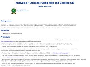
Analyzing Hurricanes Using Web and Desktop GIS
Young scholars analyze hurricanes. In hurricanes lesson, students use the Internet and GIS to analyze hurricanes. Young scholars view the National Atlas of Maps to discuss the direction hurricanes move. Students study the wind and...
Curated OER
Land or Sea?
Sixth graders access a database to search for desired information, using "and" or "or" connectors where necessary. They choose a connector and search a prepared database of European countries to locate which countries border certain...
Curated OER
Geography and Culture in South Carolina
Students explore South Carolina. In this cultural heritage instructional activity, students investigate the topography of South Carolina using maps. Students are engaged in identifying the different regions of the state and examine the...
Curated OER
Where Is Rome?
Third graders discover Ancient Rome through maps and worksheets. In this world history lesson, 3rd graders locate Rome on a world map and identify the scope of the Roman Empire. Students label an entire map of Italy after printing one...
Curated OER
Our 50 States
Students identify the location of the 50 states using an interactive map. They practice geography skills by playing a fun game. Pupils become familiar with the state abbreviations for the US states. Students become familiar with the...
Arizona Cooperative Extension
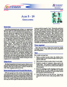
Geocaching
Using GPS units, small groups participate in a scavenger hunt to find an object that you have hidden. They use coordinates for stopping points along a pre-planned path to get to the final cache. This is a terrific activity to include in...
Flairify
TapTyping
Familiarize your pupils with how to type by tapping on a tablet screen. They will master the tablet keyboard with a set of lessons that get progressively more advanced. Track progress with a speed test every few lessons.
Curated OER
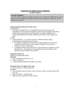
Exploring Wyoming Species Habitats
Middle schoolers are introduced to the concept of species habitats and ranges. They introduced to ArcView GIS as a tool for mapping. Pupils use query data for species withina county, elevation, range, rivers and streams, land cover, and...
Curated OER
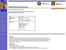
World Geography: Global Interdependence
Students are able to discuss the theory of climate change. They identify examples of how climate change impacts the earth's geo-spheres. Students are able to use the example of climate change to describe the interdependence of the...
Curated OER
Physical Geography of Africa
Fifth graders investigate the topography of Africa. In this physical geography lesson, 5th graders research the six regions of Africa and complete a physical map. Students locate various landforms in Africa. Students use their...
Curated OER
Converging Earthquake!
Students identify the fault lines and tectonic plates on the map. In this earth science lesson, students simulate landscape formation using robots. They take a quiz at the end of the lesson to demonstrate mastery.
Curated OER
Discovering the World Virtually
Students experience world adventures through the internet. In this technology lesson, students use a suggested internet site and explore each expedition. Students can virtually travel such lands as China.
Curated OER
An Age of Exploration
Students investigate U.S. history by examining North American timelines. In this American exploration instructional activity, students research the events that led to Columbus finding America and participate in a jeopardy game regarding...


