Hi, what do you want to do?
Pennsylvania State University
Penn State: Still More Plate Tectonics, the Great Smoky Mountains
The Great Smoky Mountain National Park of North Carolina and Tennessee includes 16 mountains over 6,000 feet (about 2,000 m) high, making this generally the highest region in North America east of the Mississippi River. Gatlinburg is a...
Curated OER
National Park Service: North Cascades: Glaciers / Glacial Features
The North Cascades has 316 glaciers. Learn how they were formed and how they affect the land.
American Geosciences Institute
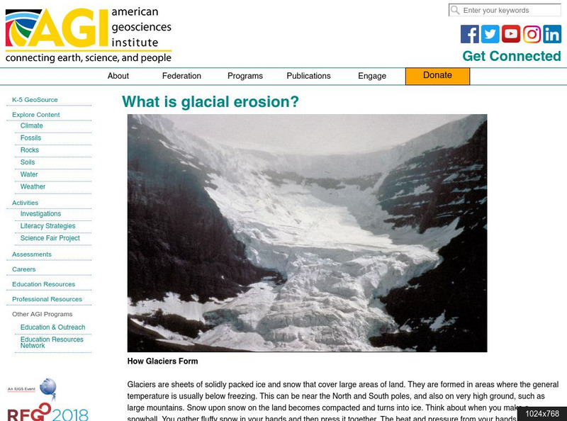
American Geosciences Institute: What Is Glacial Erosion?
An overview of the formation and existence of glaciers, and the effects of their movement.
European Space Agency
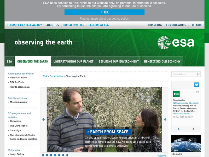
European Space Agency: Observing the Earth
This resource provides information about the Earth, as well as satellite images and videos of what is taking place on the earth currently.
Quia
Quia: Geography World: Earth's Surface
Wonderful crossword puzzle containing clues about various landforms. After finishing the puzzle, a new puzzle will appear introducing some new clues.
Math Science Nucleus
Math Science Nucleus: Maps as Tools
A series of lessons in which students learn about landforms. Includes interpreting landforms, creating landforms, and information on Angel Island.
Read Works
Read Works: Slow and Steady
[Free Registration/Login Required] An informational text about tectonic plates and how their slow and steady movements have helped to shape the earth. A question sheet is available to help students build skills in reading comprehension.
Country Studies US
Country Studies: Cambodia: Topography
Read a great description of the topography of Cambodia which takes you from the heights of the mountains to the Gulf of Thailand. From the Country Studies section of the Library of Congress.
MadSci Network
What Plates Are Colliding to Form the Andes Mountains?
Read the informative and detailed explanation of what plates are colliding to form the Andes Mountains. David Scarboro provides his expert advice to help students understand the answer to this question.
PBS
Pbs Learning Media: Water Erosion
In this video from Nature, learn about the erosive action of water on the Hawaiian landscape and human efforts to limit it.
Science Education Resource Center at Carleton College
Serc: Investigation of the Minnehaha Falls Area
A lesson plan where students observe rock types and classify the rocks in the Minnehaha falls area. Students will also make predictions about the cause of the shape of the landscape. Students will record their findings in a journal....
Other
Himalayas: Travel Guide
Detailed and thorough information about the Himalaya Mountains. Learn all about this mighty mountain chain and its diverse environment.
Other
Greatest Places: Namib
Explore the Namib Desert and learn about its location, the Skeleton Coast, mirages, and general information about this home to the highest sand dunes in the world.
Other
Knight's Canadian Info Collection: Geographic Regions of Canada
Canada is divided into distinct regions, each with a very different landscape and climate. Geographic and ecozone maps as well as text information is included.
Channel 4 Learning
4 Learning: Geography Essentials: The Mountain Environment
An introduction to the mountains, with information on the mountain climates, mountain life, and mountain uses. Includes materials for teachers: worksheets, image bank, and links.
National Association of Geoscience Teachers
Quaternary Glacio Fluvial History of the Upper Midwest Using Anaglyph Stereo Maps
Students examine the anaglyph stereo map and use textures to generate a surficial geology map of the Upper Midwest. They can then interpret the textures in terms of landforms, geomorphic features, and earth-surface processes, as well as...
CK-12 Foundation
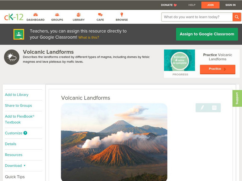
Ck 12: Earth Science: Volcanic Landforms
[Free Registration/Login may be required to access all resource tools.] Lava and magma create many types of landforms.
Math Science Nucleus
Discovering How Landforms Are Created on Earth
Students compare water and ice erosion to discover how landforms are created.
Encyclopedia Britannica
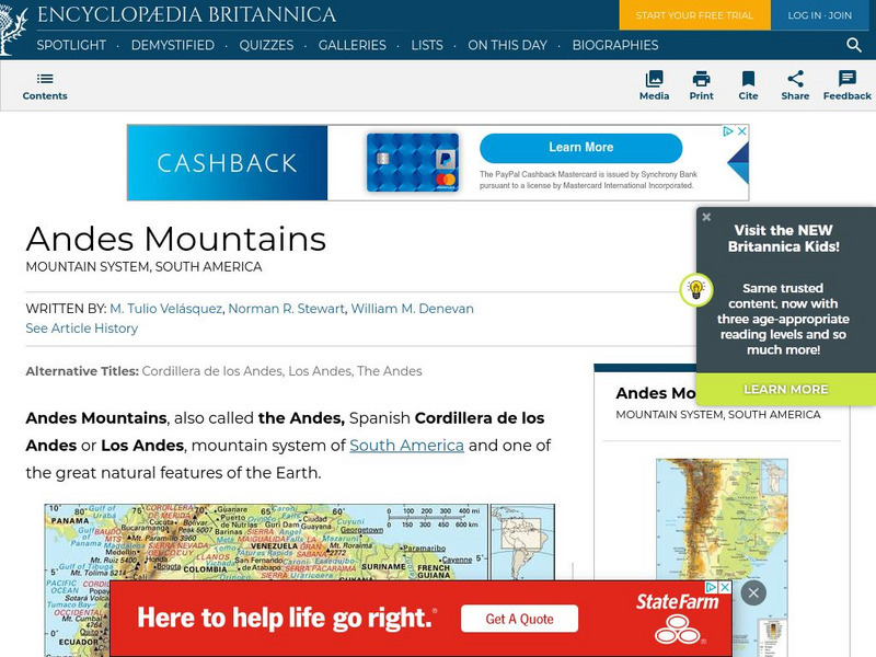
Encyclopedia Britannica: Andes Mountains
Brief overview of the Andes Mountains. Contains links to related topics and helpful facts about the Andes.
Indiana University
Indiana Univ. Bloomington: Geo Notes: Standing Rocks: Remnants of Erosion [Pdf]
Explains what standing rocks are, how they are formed by erosion, and gives the names of some well-known ones in Indiana.
Exploratorium
Exploratorium: Global Climate Change: Cryosphere
Examine the effects climate has on the snow and ice covered cryosphere and see live data gathered from the North and South Poles.
CK-12 Foundation
Ck 12: Second Grade Science: Mountains
[Free Registration/Login may be required to access all resource tools.] Covers how mountains are formed through the movement of the Earth's plates.
Center for Educational Technologies
Cotf: Plate Tectonics
Plate Tectonics provides geology with a comprehensive theory that explains how the Earth works.
CK-12 Foundation
Ck 12: Earth Science: Volcanic Landforms
[Free Registration/Login may be required to access all resource tools.] Lava and magma create many types of landforms.
Other popular searches
- Landforms
- Landforms and Water Forms
- Canada Geography (Landforms)
- Earths Landforms
- Landforms Lesson Plans
- Landforms of Colombia
- Ocean Floor Landforms
- Definitions of Landforms
- Different Landforms
- Canada Geography Landforms
- Google Earth Landforms
- Geographic Landforms


