Hi, what do you want to do?
Curated OER
Lawson's Many Roles
Students examine the life of John Lawson and his many roles he took on during his life. Using their text, they discover the area in which he traveled and lived. They write an essay about his movements and identifying his contacts in...
Curated OER
Driving Forces Forestry In Canada
Students discuss the natural and economic impact of forests and forestry. Using given statistics they construct different types of graphs in which they make observations and draw conclusions.
Curated OER
Mi país
Students research Spanish-speaking countries on the Internet and make a presentation.
Curated OER
The Tilting Earth
Fourth graders use a styrofoam ball on a stick to represent earth and a light bulb in the center of the room to represent the sun. They walk around the light, holding their sticks at an angle to show the tilt of the earth's axis. They...
National Geographic
National Geographic: Mapping Landforms
Students will study landform maps of states and then create a project of their own.
Other
Bscs: Earth's Changing Surface Lesson 2: Landform Detectives
Using relief maps, students will learn that landforms can be different from one place to another. Included are a minute-by-minute lesson plan, activities, and teacher discussion points and questions.
Johns Hopkins University
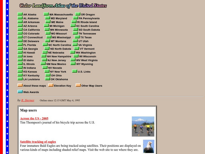
John Hopkins University: Color Landform Atlas of the u.s.
This site from John Hopkins University provides detailed maps of and physical information on each of the 50 states. Maps range from relief maps to satellite images, to historical maps.
Science Education Resource Center at Carleton College
Serc: Mn Step: Student Created Landform Maps With Glacial Emphasis
An activity where students work together to make topographic maps of a local park. The map must include a key and the grid locations of landforms in the park.
Curated OER
University of Texas: Sri Lanka: Relief Map
A very easy to read relief map of Sri Lanka from the Perry-Castaneda Collection showing the land forms along with the major highways and rail lines.
University of Texas at Austin
France
Excellent series of maps from University of Texas at Austin - Provides political and shaded relief maps of France and a multitude of historical maps and maps of overseas territories overseas. Also includes maps of several large cities.
Other
Civics Online: Map of the 13 Colonies
This colorful map depicts the original thirteen colonies as well as the rest of the eastern part of America, showing the owners of the land at that time.
National Association of Geoscience Teachers
Quaternary Glacio Fluvial History of the Upper Midwest Using Anaglyph Stereo Maps
Students examine the anaglyph stereo map and use textures to generate a surficial geology map of the Upper Midwest. They can then interpret the textures in terms of landforms, geomorphic features, and earth-surface processes, as well as...
NOAA
Noaa: Estuaries 101 Curriculum: Observing Estuaries:
Students investigate landforms and features associated with estuaries by taking a journey down a river to an estuary system where the river empties into the Gulf of Mexico near Weeks Bay. They will use Google Maps and other resources to...
Other
Maps & Globes: Other Land Forms
A very simple overview of various land forms and their characteristics: peninsula, cape, isthmus, valley, canyon, cliff, and swamp.
Ohio History Central
Ohio History Central: Shaping the Land
This site contains maps and other information about the Ohio's topography. Great details about how glaciers played a key role in the formation of Ohio's land, the natural resources left behind, and the natural regions and their differences.
Other
Okanagan University: Eolian Processes and Landforms
A wonderfully detailed introduction to the topic of wind erosion and landforms. Contains many illustrations and maps which show the concepts that are presented in the text.
Math Science Nucleus
Math Science Nucleus: Maps as Tools
A series of lessons in which learners learn about landforms. Includes interpreting landforms, creating landforms, and information on Angel Island.
Teacher Oz
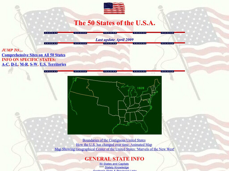
Teacher Oz: 50 States of the u.s.a.
A site with information such as maps, flags and songs of each of the 50 states in the US.
Geographyiq
Geography Iq
Detailed geographical information on any country is available at this site. Within the World Map section, you can get facts and figures about each country's geography, demographics, government, political system, flags, historical and...
Johns Hopkins University
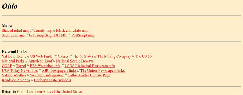
The Johns Hopkins University: Ohio State Maps
At this site from The Johns Hopkins University Applied Physics Laboratory, you can find out about the landform features in the state of Ohio. How are the counties set up in Ohio? Look at the various maps to answer all of your map questions.
European Space Agency
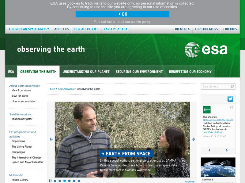
European Space Agency: Observing the Earth
This resource provides information about the Earth, as well as satellite images and videos of what is taking place on the earth currently.
Curated OER
Educational Technology Clearinghouse: Maps Etc: Land Regions of Asia, 1920
A color-relief map from 1920 of Asia showing the principal landform and vegetation features, river systems, and water features of the region. The map is keyed to show areas of waters less than 500 feet deep, floating ice, lands below sea...
Curated OER
Educational Technology Clearinghouse: Maps Etc: Africa Orographical, 1915
A map from 1915 of Africa and Madagascar showing general land elevations above and below sea level, and landform features, including mountain systems, plateaus, deserts, and plains throughout the region. The map uses color-contouring to...
Curated OER
Educational Technology Clearinghouse: Maps Etc: River Basins of Asia, 1912
A map from 1912 showing the various drainage basins across the Asian region. This map is color-coded to show watersheds draining to the Pacific Ocean in pink, to the Indian Ocean in green, to the Arctic Ocean in purple and inland basins...
Other popular searches
- Landforms Maps
- North America Landforms Maps
- United States Landforms Maps
- Science Landforms Maps
- Creating Maps of Landforms
- Science Landforms Maps Nc
- Maps Canada Landforms


