Curated OER
Lawson's Many Roles
Students examine the life of John Lawson and his many roles he took on during his life. Using their text, they discover the area in which he traveled and lived. They write an essay about his movements and identifying his contacts in...
Curated OER
Language for Sale
Sixth graders think about writing terminology as they rewrite a catalogue descriptioin of an item for sale.
Curated OER
Provincial Showdown
Students read an article that compares the provinces of Canada and asks students to suggest reasons why other countries should invest in Canada.
Curated OER
What's The Level?
Students examine the movement of the water table and saturation zones. They describe the movements of the water table and locate the saturation zones. Students identify the function of each saturation zone. They develop a model of the...
Curated OER
Civil War in Nigeria
Students view Powerpoint on Nigerian conflict, listen to and discuss Recruitment Speech and Flyers of Weke Okujagu, and complete vocabulary and critical thinking worksheets as a class.
Curated OER
The Tilting Earth
Fourth graders use a styrofoam ball on a stick to represent earth and a light bulb in the center of the room to represent the sun. They walk around the light, holding their sticks at an angle to show the tilt of the earth's axis. They...
ArtsNow
Arts Now Learning: Dance Across the United States of America [Pdf]
These activities will allow students to become explorers and travel across the United States to encounter a variety of land forms. Students will create a story about their trek and then create choreography to match the sequence generated...
Other
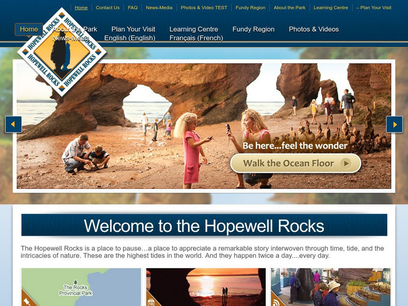
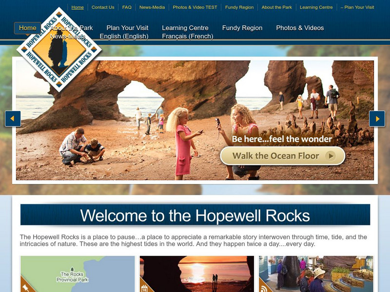
Hopewell Rocks 360 Degrees Panorama
Take a panoramic tour of the famous Hopewell Rocks. Explore the ocean floor and the rock formations. Be careful! When the tides come in the water rises to a height of a four story building.
Other
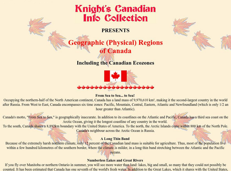
Knight's Canadian Info Collection: Geographic Regions of Canada
Canada is divided into distinct regions, each with a very different landscape and climate. Geographic and ecozone maps as well as text information is included.
Wikimedia
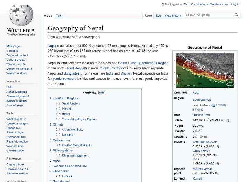
Wikipedia: Geography of Nepal
Offers geographic facts about Nepal, including descriptions of terrain, land use, and natural hazards. Nepal contains eight of the world's ten highest peaks.
Ohio History Central
Ohio History Central: Shaping the Land
This site contains maps and other information about the Ohio's topography. Great details about how glaciers played a key role in the formation of Ohio's land, the natural resources left behind, and the natural regions and their differences.
US Department of Education
Helping Your Child Learn Geography
This parent guide helps you to teach your child geography. The site features a section on each of the five themes of geography and how to specifically teach a child to learn and be able to apply each theme. Although published in 1996, it...
Other
Welcome to the Hopewell Rocks
Visit the famous Hopewell Rocks and explore the park and its famous Flowerpot Rocks where the highest tides in the world can be found. Check out the "Did you know?" sections for fascinating facts and information.
Curated OER
Educational Technology Clearinghouse: Maps Etc: Land Regions of Asia, 1920
A color-relief map from 1920 of Asia showing the principal landform and vegetation features, river systems, and water features of the region. The map is keyed to show areas of waters less than 500 feet deep, floating ice, lands below sea...
Columbia University
Nasa: Sedac: Population, Landscape, and Climate Estimates
[Free Registration/Login Required] A huge resource for researchers without GIS capabilities who need data on population and land area by country across a range of physical characteristics. These include measures such as the number of...
US Department of Agriculture
China's Food and Agriculture: Issues for the 21st Cent.
A series of reports published but the United States Department of Agriculture in April of 2002 (in PDF format) from the USDA that covers "China's food consumption, marketing, international trade, agricultural policy, transportation...
PBS
Pbs Learning Media: Atchafalaya Bay Deltas
The Mississippi Delta is disappearing because of rising sea levels and the construction of levees, yet the deltas in the Atchafalaya Bay are growing. View this video from NASA showing images collected over 31 years showing the growth of...
Geographyiq
Geography Iq
Detailed geographical information on any country is available at this site. Within the World Map section, you can get facts and figures about each country's geography, demographics, government, political system, flags, historical and...
Other
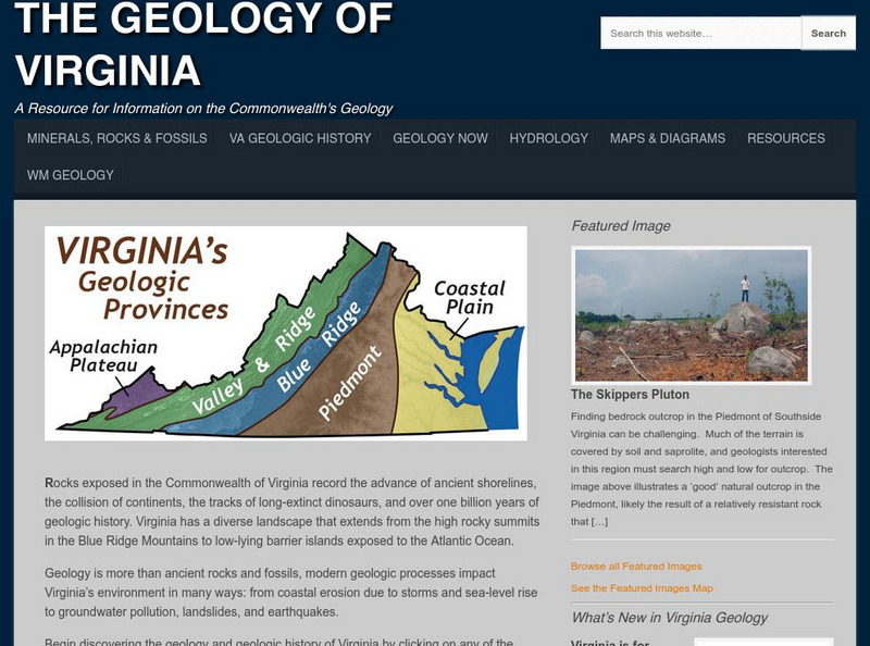
College of William and Mary: The Geology of Virginia
Information about the land forms of Virginia. Explore each region of the state and read about the ancient shorelines, active volcanoes, colliding continents, and dinosaur fossils.
Pennsylvania State University
Penn State: Still More Plate Tectonics, the Great Smoky Mountains
The Great Smoky Mountain National Park of North Carolina and Tennessee includes 16 mountains over 6,000 feet (about 2,000 m) high, making this generally the highest region in North America east of the Mississippi River. Gatlinburg is a...
Other
Greatest Places: Namib
Explore the Namib Desert and learn about its location, the Skeleton Coast, mirages, and general information about this home to the highest sand dunes in the world.
Travel Document Systems
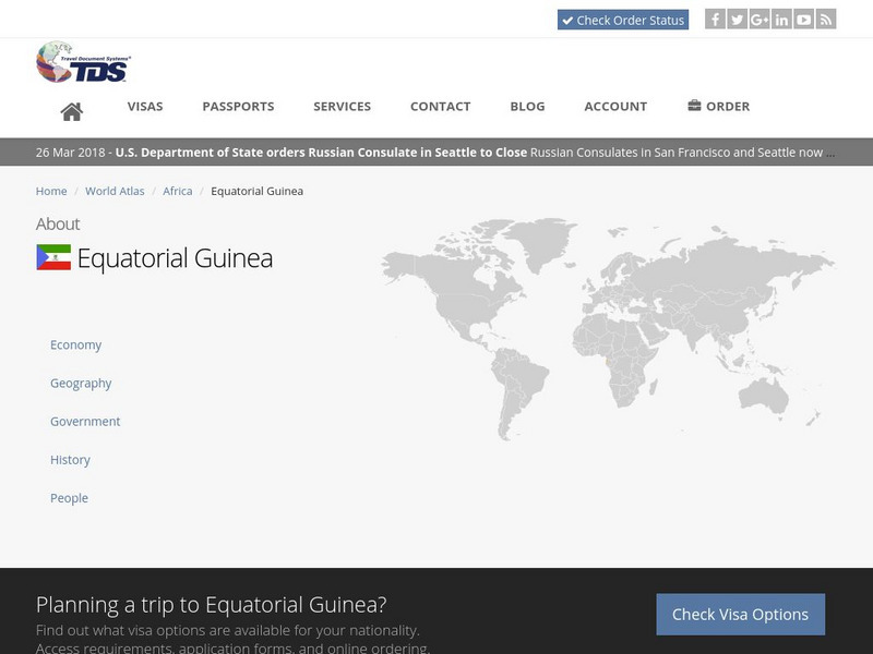
Tds: Equatorial Guinea: Geography
Equatorial Guinea is made up of islands and a continental region. Read about the land forms on each. Information is from the CIA World Fact Book.
C3 Teachers
C3 Teachers: Inquiries: Manhattan Purchase
A comprehensive learning module on the purchase of Manhattan that includes three supporting questions accompanied by formative tasks and source materials, followed by a summative performance task. Students examine why the Dutch wanted...
Curated OER
Educational Technology Clearinghouse: Maps Etc: Africa Orographical, 1915
A map from 1915 of Africa and Madagascar showing general land elevations above and below sea level, and landform features, including mountain systems, plateaus, deserts, and plains throughout the region. The map uses color-contouring to...




![Arts Now Learning: Dance Across the United States of America [Pdf] Lesson Plan Arts Now Learning: Dance Across the United States of America [Pdf] Lesson Plan](https://d15y2dacu3jp90.cloudfront.net/images/attachment_defaults/resource/large/FPO-knovation.png)
