Other
Tulane University: Physical Geology: Glaciers and Glaciation
Lots of information here about glaciation, types of glaciers, the formation of glacial ice, changes in glacier size, how glaciers move, glacial erosion, landforms produced by glaciers, glacial deposition and drift, effects of glaciation...
San Diego State University
San Diego State University: How Volcanoes Work
An educational resource for educators discussing the science behind volcanoes and their processes. This website provides information on eruption dynamics, eruption products, eruption types, historical eruptions, and volcano landforms....
TeachEngineering
Teach Engineering: Carve That Mountain
In this activity, students further investigate major landforms (e.g., mountains, rivers, plains, hills, oceans and plateaus). They build a three-dimensional model of a landscape depicting several of these landforms. Once they have built...
Better Lesson
Better Lesson: What Shapes the Land?
In this lesson, the teacher will read a book about different landforms. The children will learn about the features of the landforms and how they were shaped by natural forces. Then text features will be discussed. The children will then...
NOAA
Noaa: Estuaries 101 Curriculum: Observing Estuaries:
Students investigate landforms and features associated with estuaries by taking a journey down a river to an estuary system where the river empties into the Gulf of Mexico near Weeks Bay. They will use Google Maps and other resources to...
Discovery Education
Discovery Education: Unique Landforms
The title of this lesson is somewhat misleading and may be a mismatch, as well as the grade levels noted. It is really about transportation. Young scholars conduct extensive research, both online and by phone, and compare various methods...
Other
Bscs: Earth's Changing Surface Lesson 2: Landform Detectives
Using relief maps, young scholars will learn that landforms can be different from one place to another. Included are a minute-by-minute lesson plan, activities, and teacher discussion points and questions.
Other
Bscs: Earth's Changing Surface Lesson 1: Our Land
This hands-on lesson focuses on the land and its many different types of landforms and bodies of water. Included are a minute-by-minute lesson plan, activities, and teacher discussion points and questions.
Other
Bscs: Earth's Changing Surface Lesson 3: Grand Canyon Explorers
Students will learn that landforms can change over time in this lesson. Included are a minute-by-minute lesson plan, activities, and teacher discussion points and questions.
Other
Bscs: Content Background Earth's Changing Surface
This is written to support and further your content learning about the dynamic nature of Earth's surface. The goal is for you to develop a conceptual understanding of landforms so that you will be able to more effectively teach...
Science Education Resource Center at Carleton College
Serc: Mn Step: Student Created Landform Maps With Glacial Emphasis
An activity where students work together to make topographic maps of a local park. The map must include a key and the grid locations of landforms in the park.
Curated OER
Landforms
Illustrated article describing how landforms are formed. Topics include tectonic forces, gradational forces, and age of the earth. There is a quiz at the end to test your comprehension.
Curated OER
Landforms
Illustrated article describing how landforms are formed. Topics include tectonic forces, gradational forces, and age of the earth. There is a quiz at the end to test your comprehension.
Curated OER
Landforms
Illustrated article describing how landforms are formed. Topics include tectonic forces, gradational forces, and age of the earth. There is a quiz at the end to test your comprehension.
Curated OER
Landforms
Illustrated article describing how landforms are formed. Topics include tectonic forces, gradational forces, and age of the earth. There is a quiz at the end to test your comprehension.
Curated OER
Landforms
Illustrated article describing how landforms are formed. Topics include tectonic forces, gradational forces, and age of the earth. There is a quiz at the end to test your comprehension.
Curated OER
Landforms
Illustrated article describing how landforms are formed. Topics include tectonic forces, gradational forces, and age of the earth. There is a quiz at the end to test your comprehension.
Other
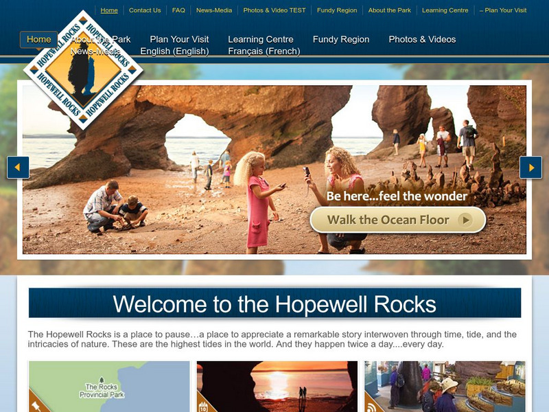
Welcome to the Hopewell Rocks
Visit the famous Hopewell Rocks and explore the park and its famous Flowerpot Rocks where the highest tides in the world can be found. Check out the "Did you know?" sections for fascinating facts and information.
Other
Hopewell Rocks 360 Degrees Panorama
Take a panoramic tour of the famous Hopewell Rocks. Explore the ocean floor and the rock formations. Be careful! When the tides come in the water rises to a height of a four story building.
Other
Hopewell Rocks Photo Gallery
View this stunning collection of images showcasing Hopewell Rocks and the famous Flowerpot Rocks located in the Bay of Fundy.
Curated OER
Landforms
Student created reports on landforms. Each landform has a brief description and an example. Pictures accompany the reports. Learn more about the landforms that shape our world.
Curated OER
Landforms
Student created reports on landforms. Each landform has a brief description and an example. Pictures accompany the reports. Learn more about the landforms that shape our world.
Curated OER
Landforms
Student created reports on landforms. Each landform has a brief description and an example. Pictures accompany the reports. Learn more about the landforms that shape our world.
Curated OER
Landforms
Student created reports on landforms. Each landform has a brief description and an example. Pictures accompany the reports. Learn more about the landforms that shape our world.
Other popular searches
- Landforms and Water Forms
- Canada Geography (Landforms)
- Earths Landforms
- Landforms Lesson Plans
- Landforms of Colombia
- Ocean Floor Landforms
- Definitions of Landforms
- Different Landforms
- Canada Geography Landforms
- Google Earth Landforms
- Geographic Landforms
- Landforms on Neptune
